Screenshot Thread
-
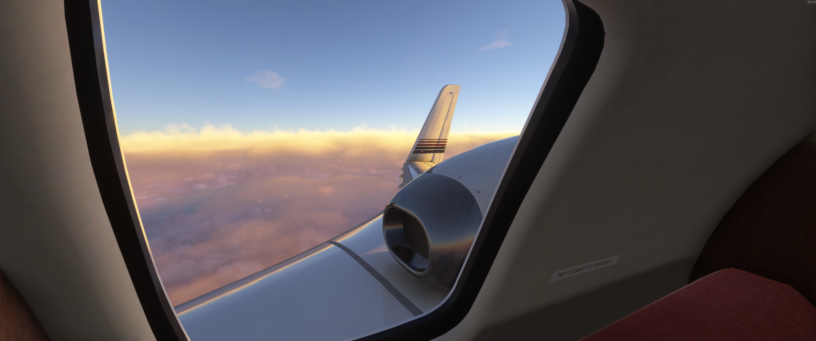
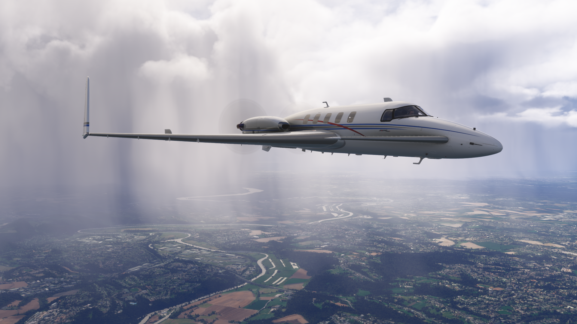
Leaving Frankfurt for Dusseldorf. Lovely weather for screenshots but not for flying!
The not so distand sound of thunder...
Showers everywhere today
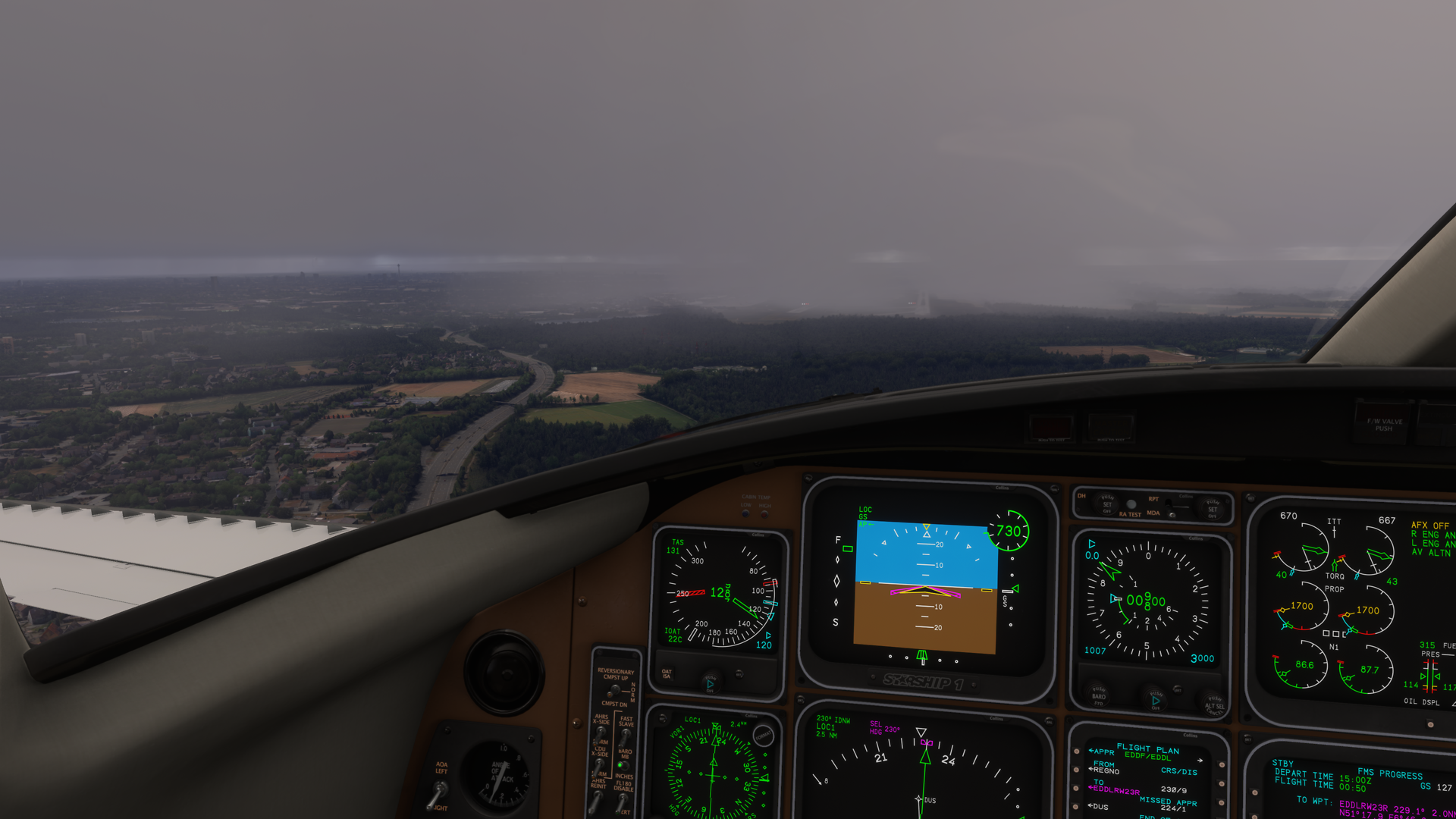
Cleared to land but I still can't see the runway
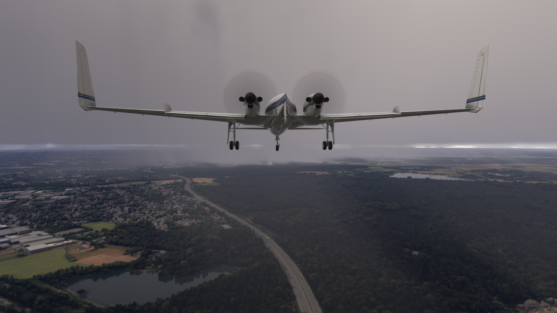
There they are, thank god for PAPI lights
-
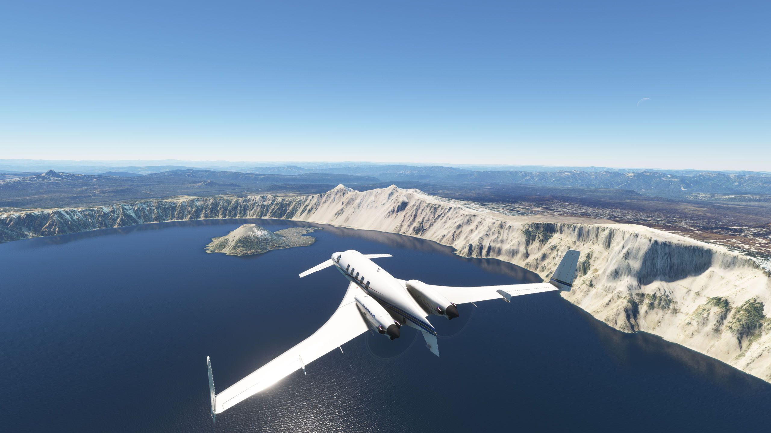
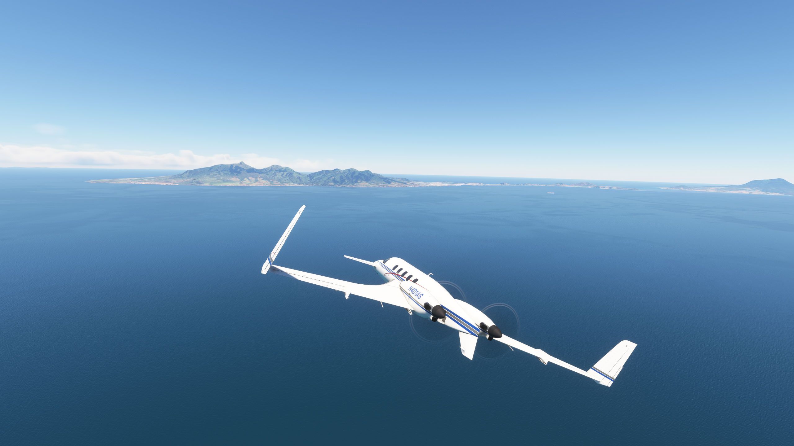
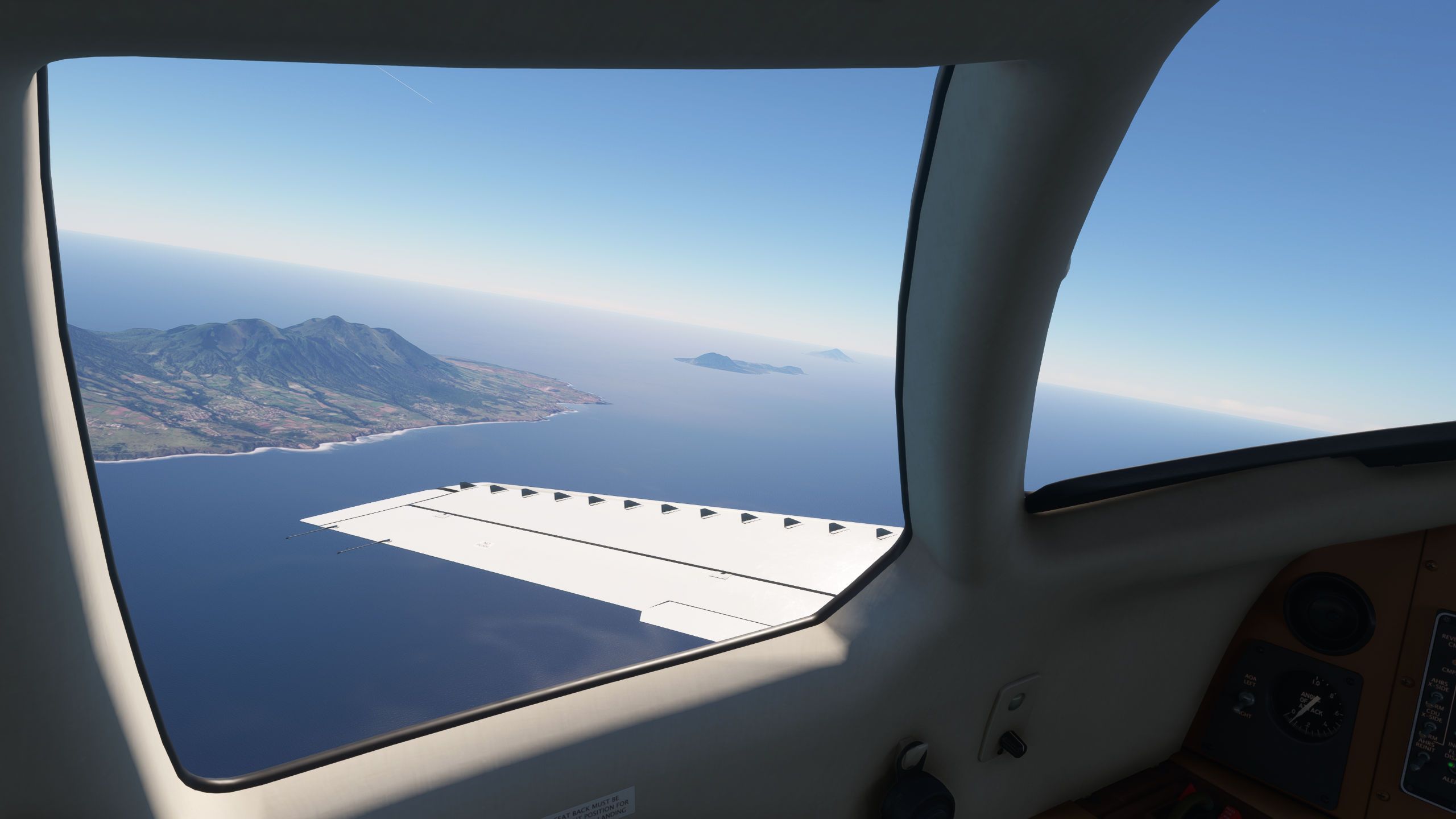
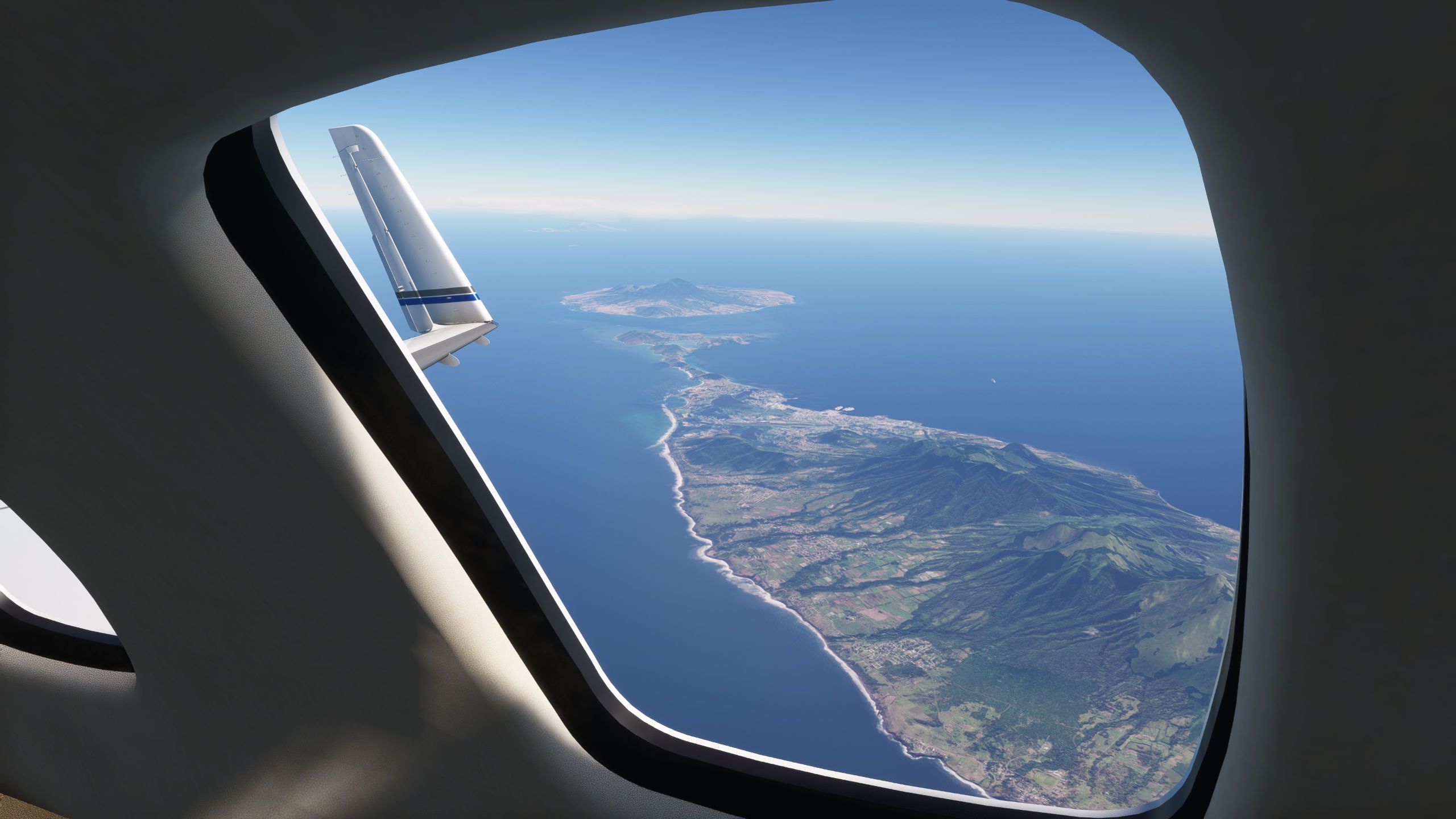
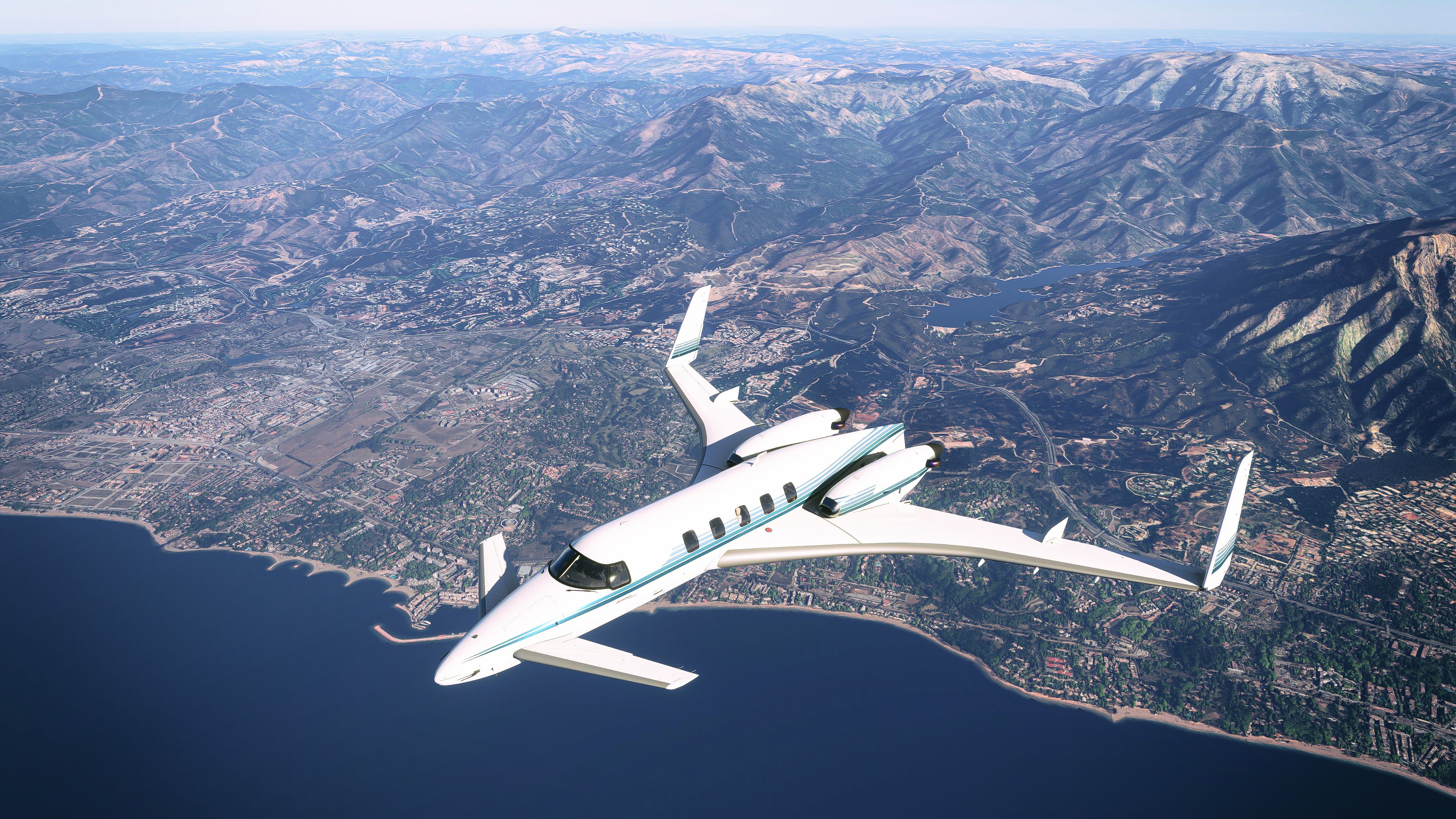
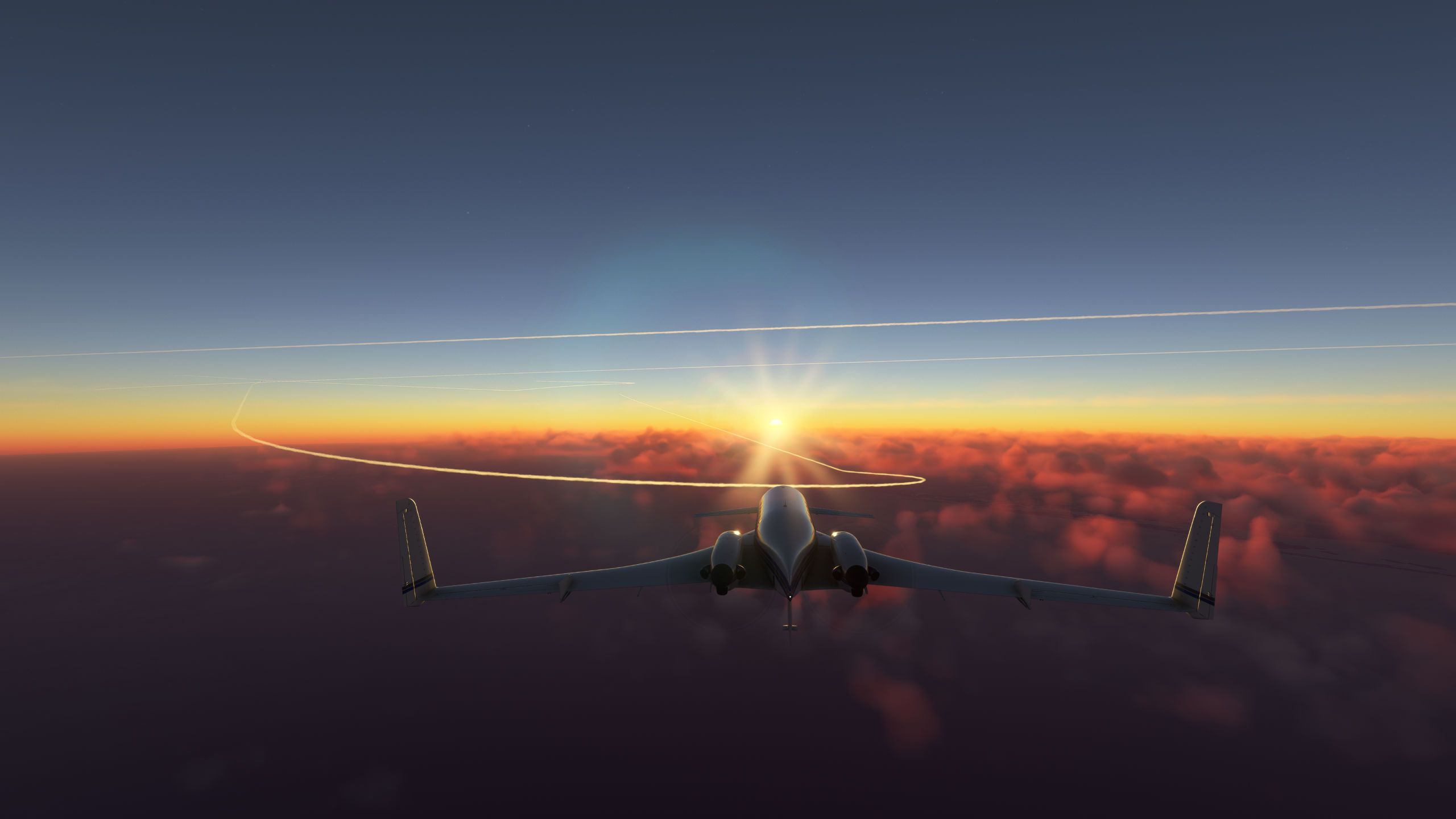
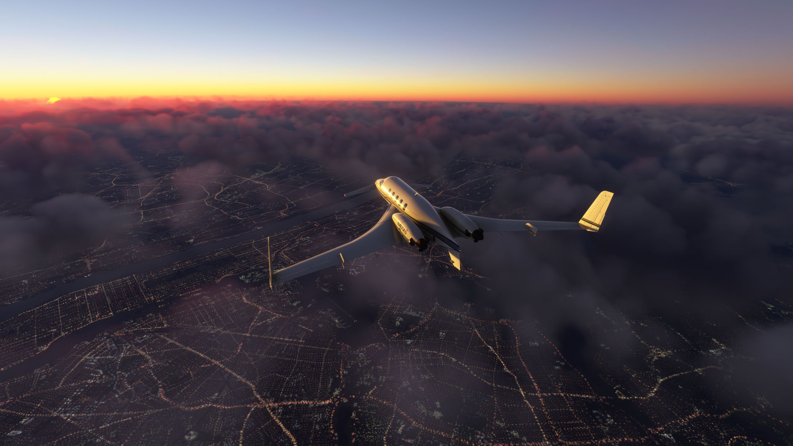
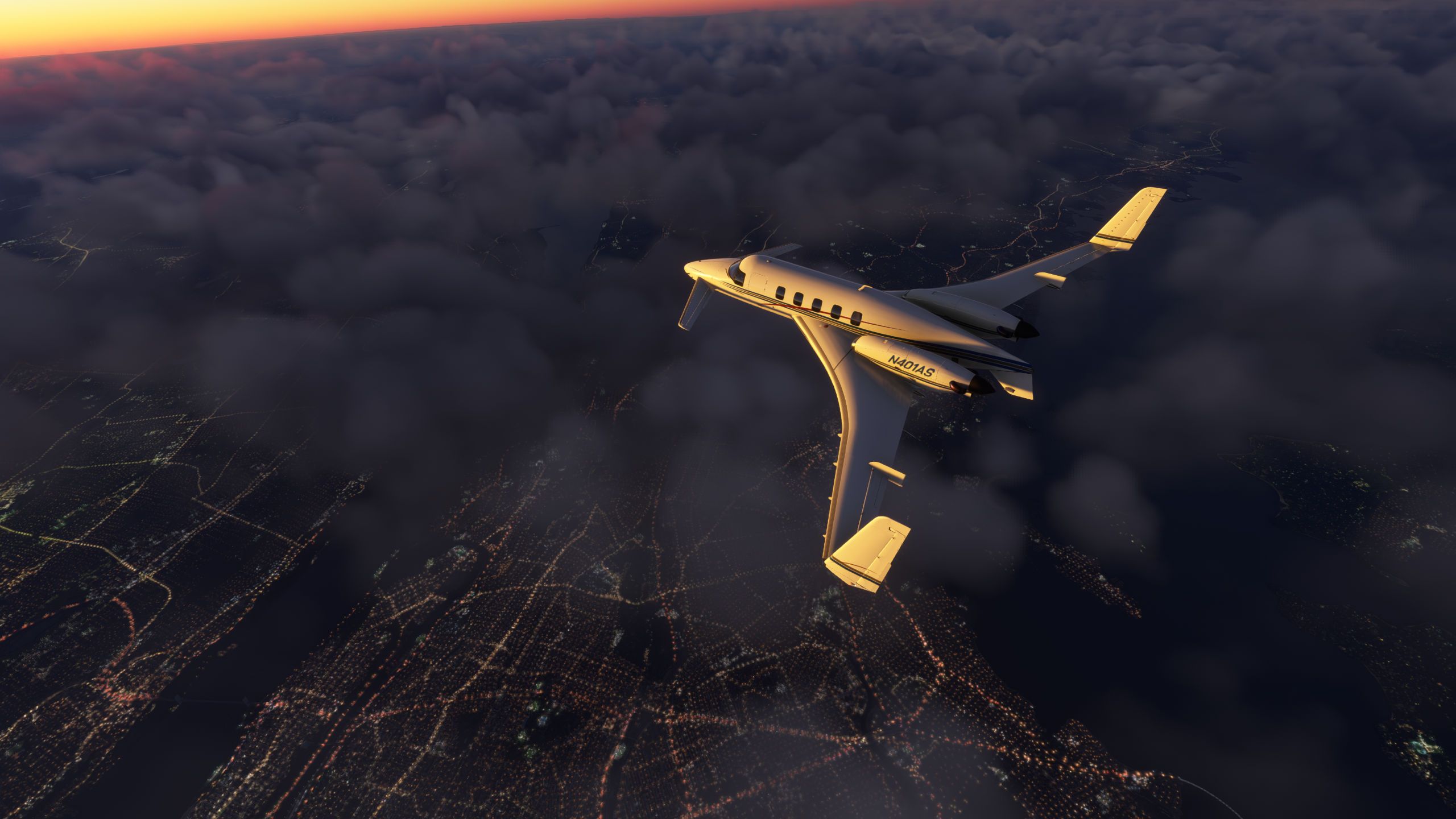
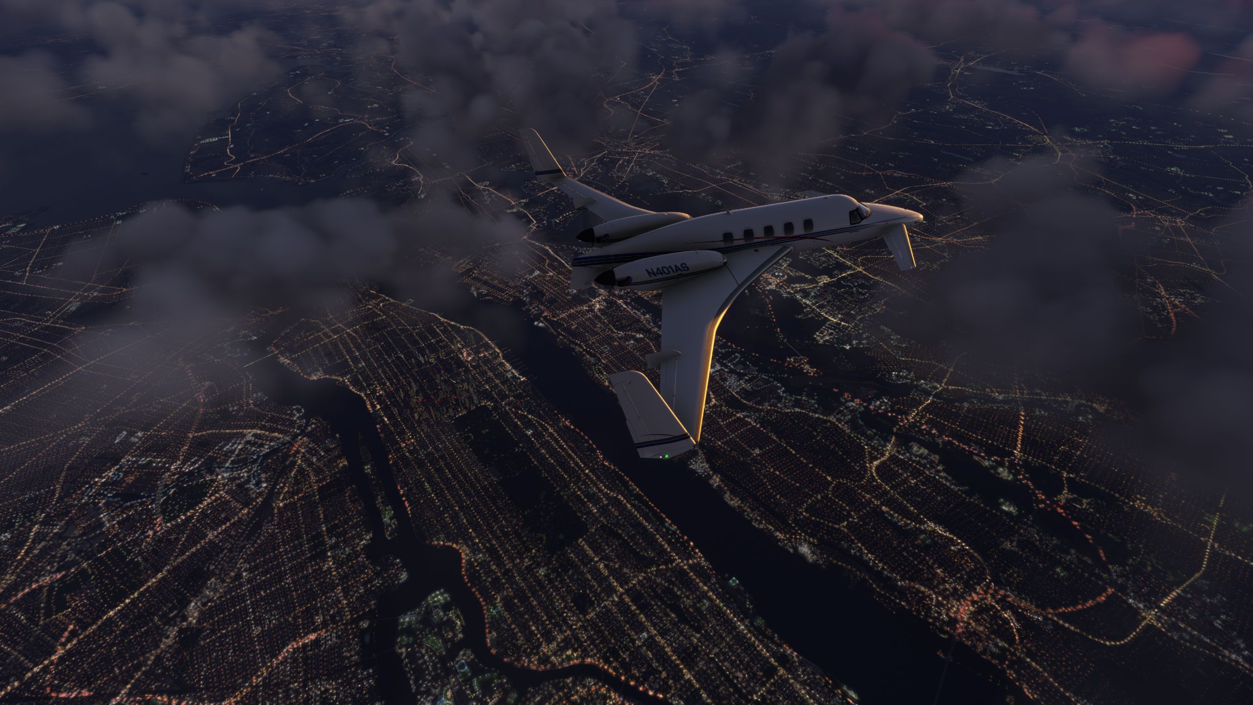
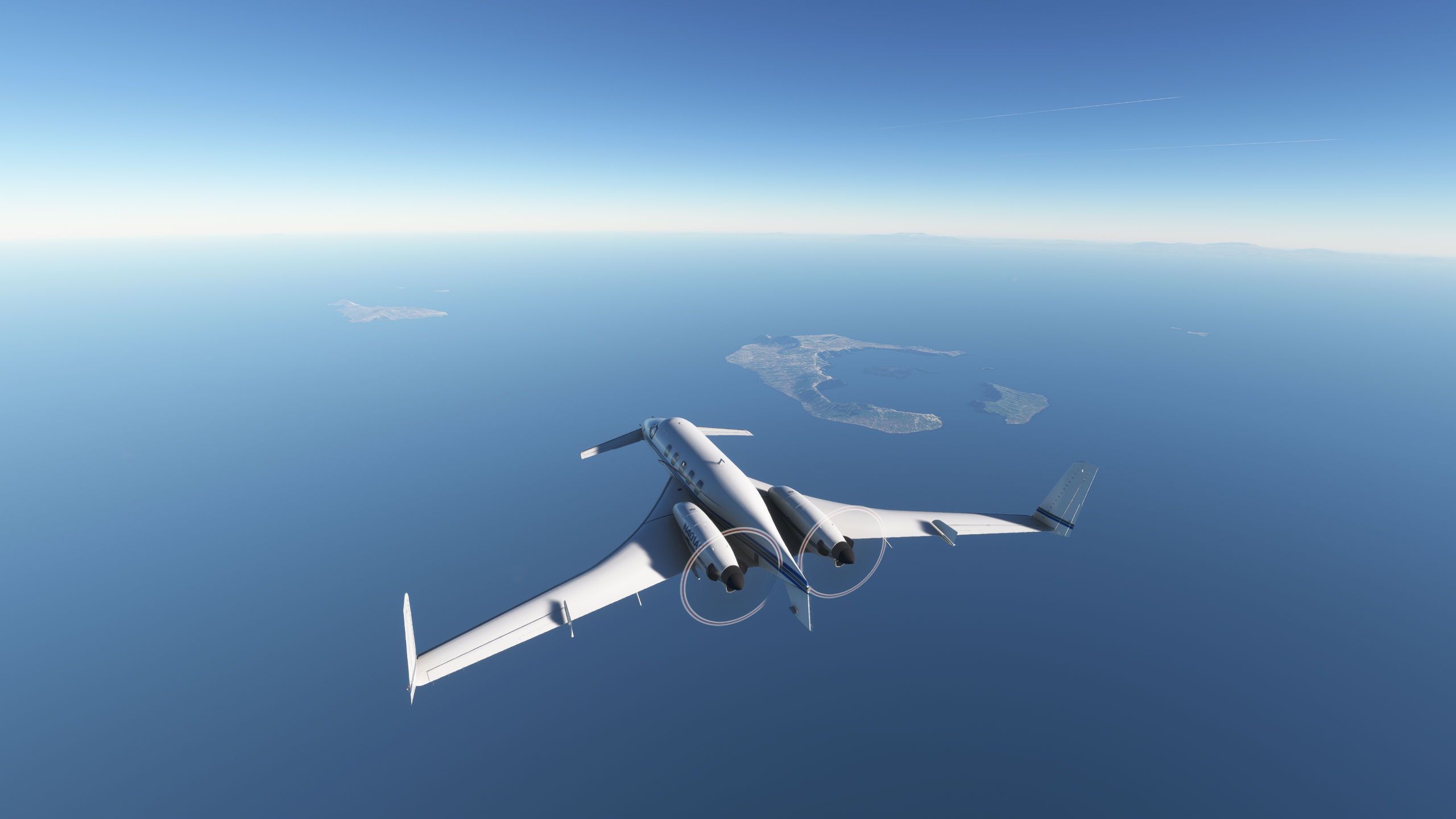
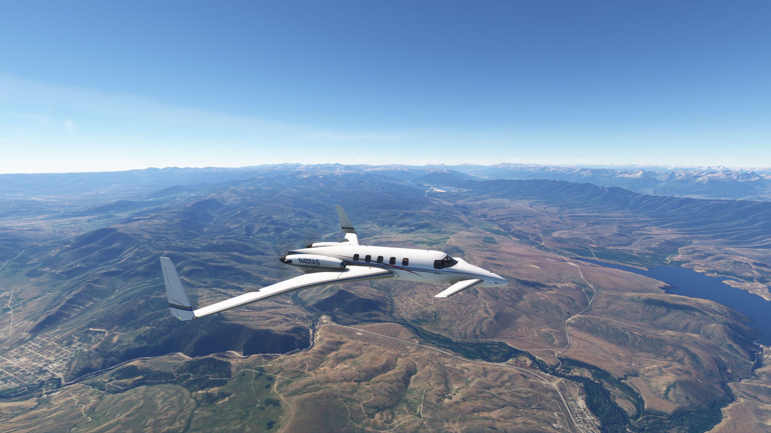
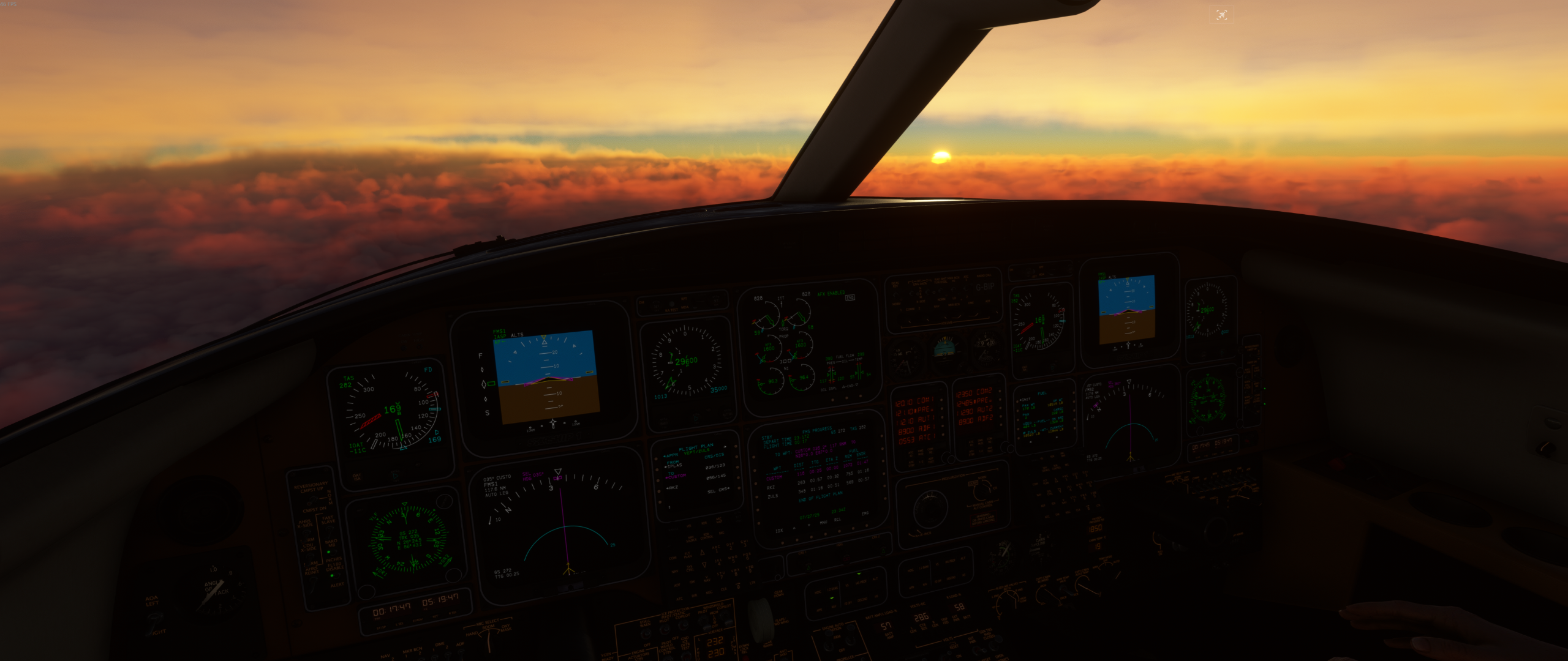
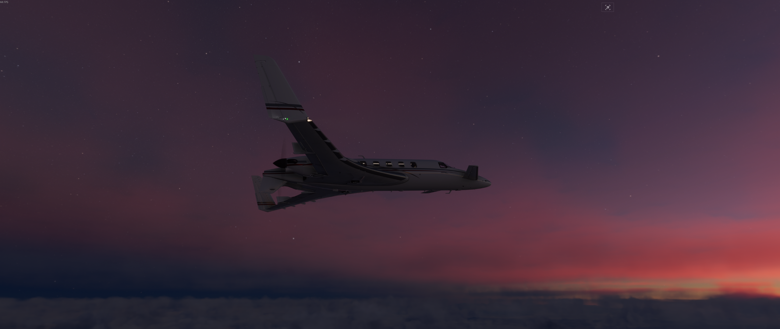
VEPT -> ZULS, dawn.
ZULS is where you have to raise the cabin altitude when landing, it's 11,800 ft!!!
-
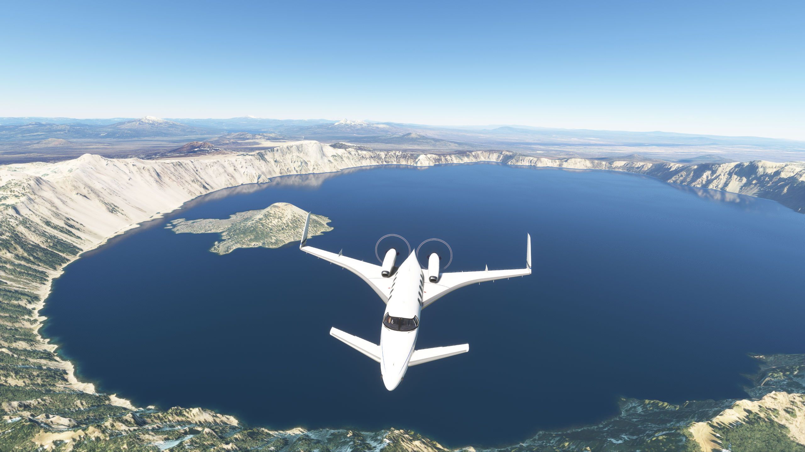
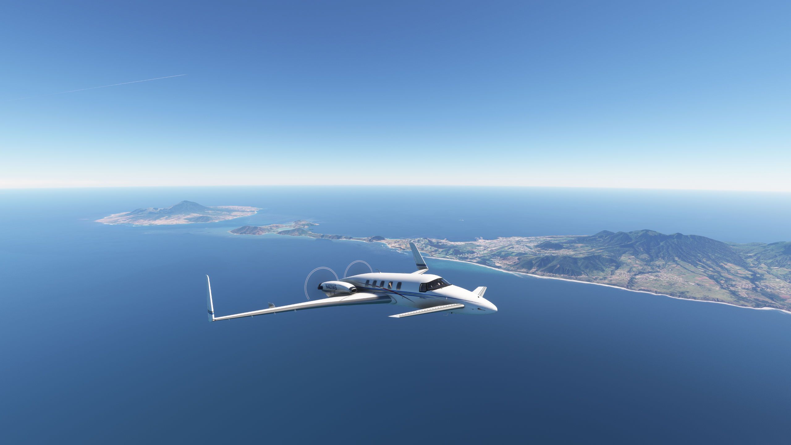
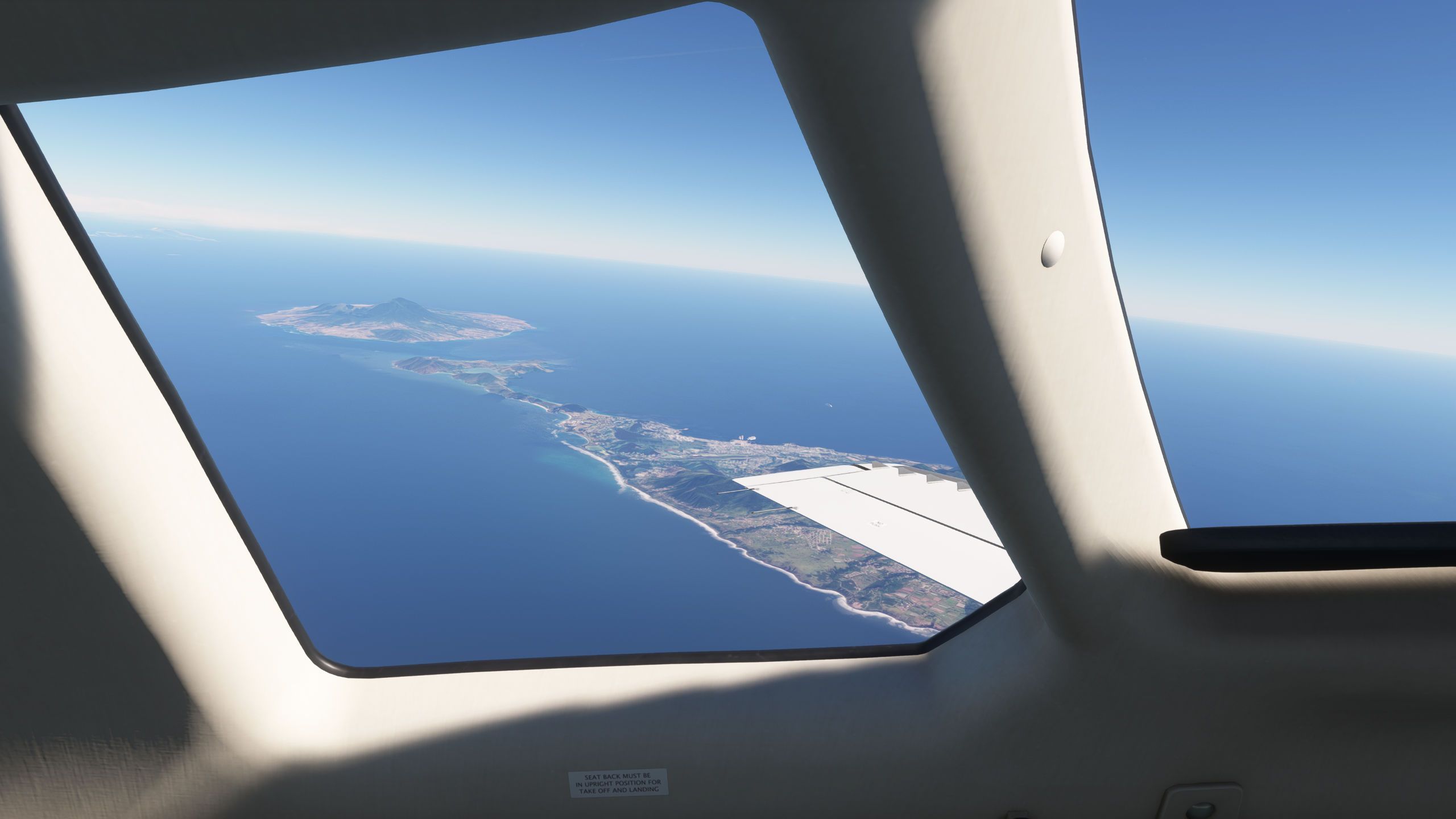
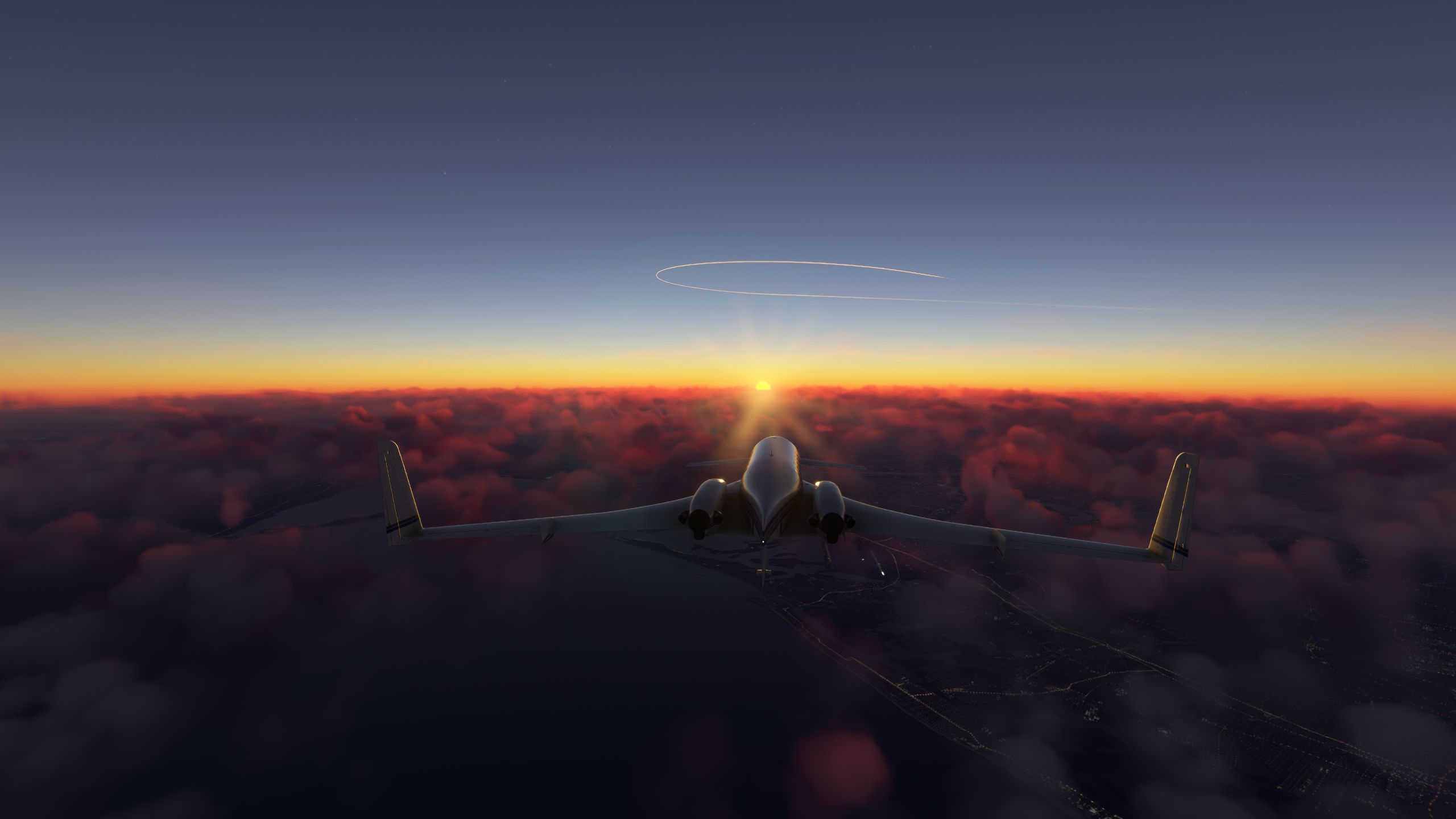
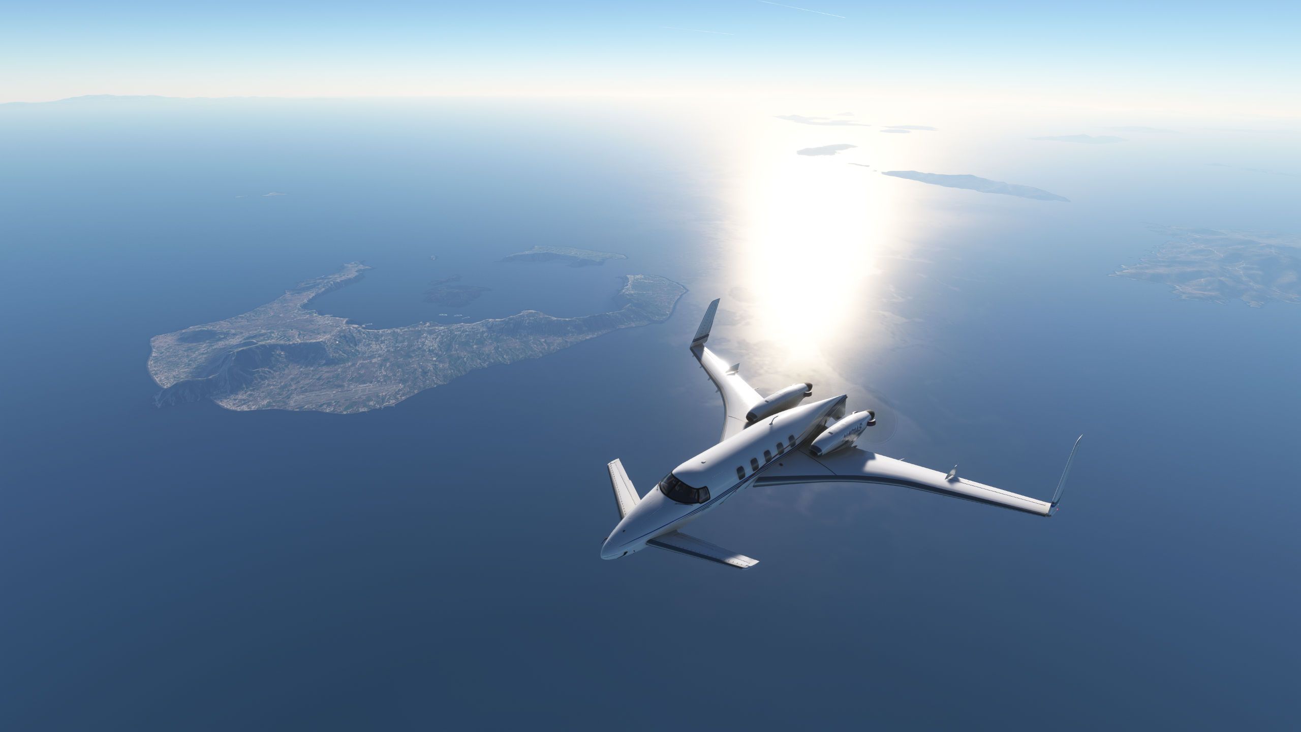
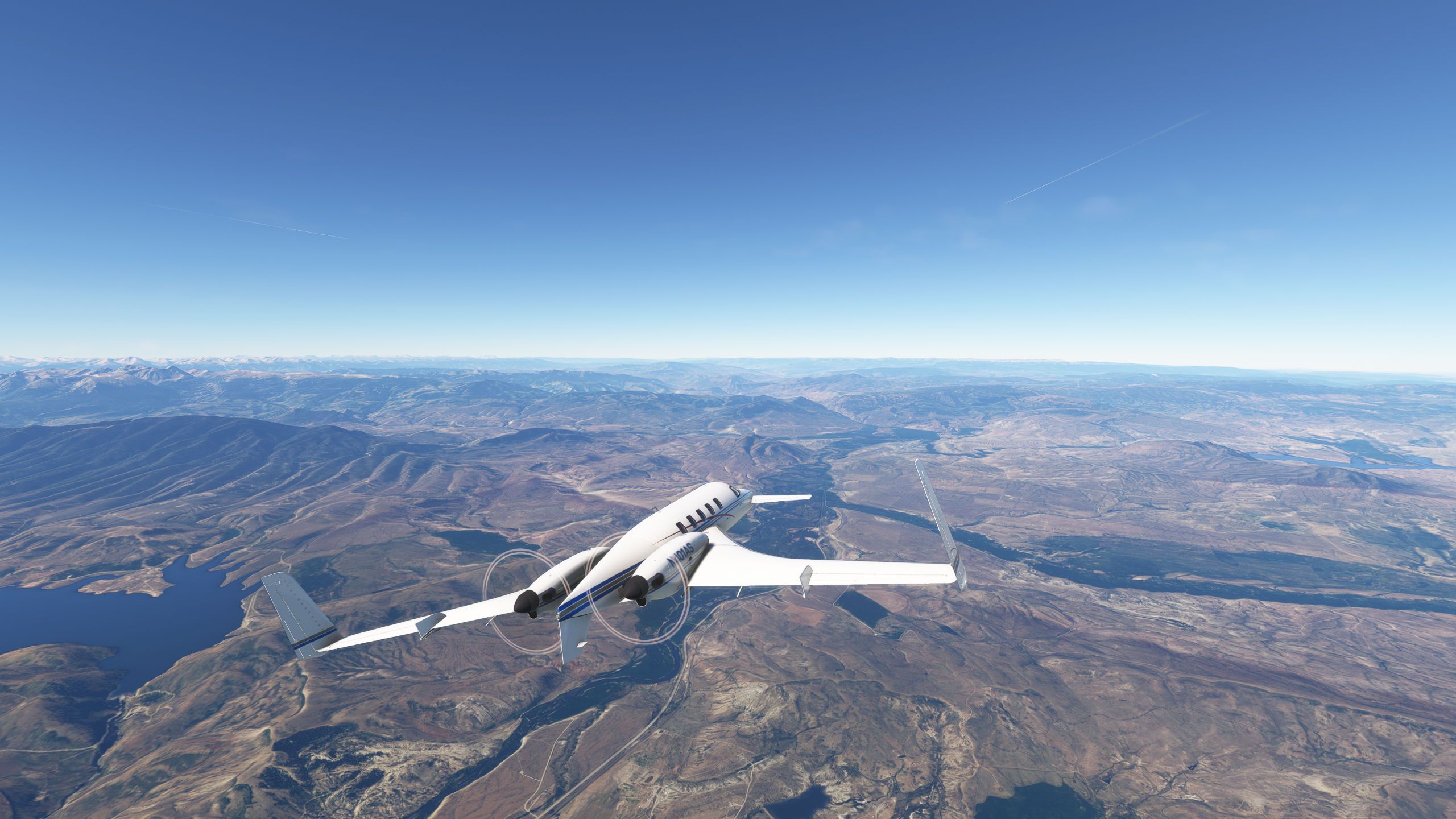
VEPT -> ZULS, dawn.
ZULS is where you have to raise the cabin altitude when landing, it's 11,800 ft!!!
@HansRoaming thank you for the next flight idea. I already had ZULS!
-
@HansRoaming thank you for the next flight idea. I already had ZULS!
-
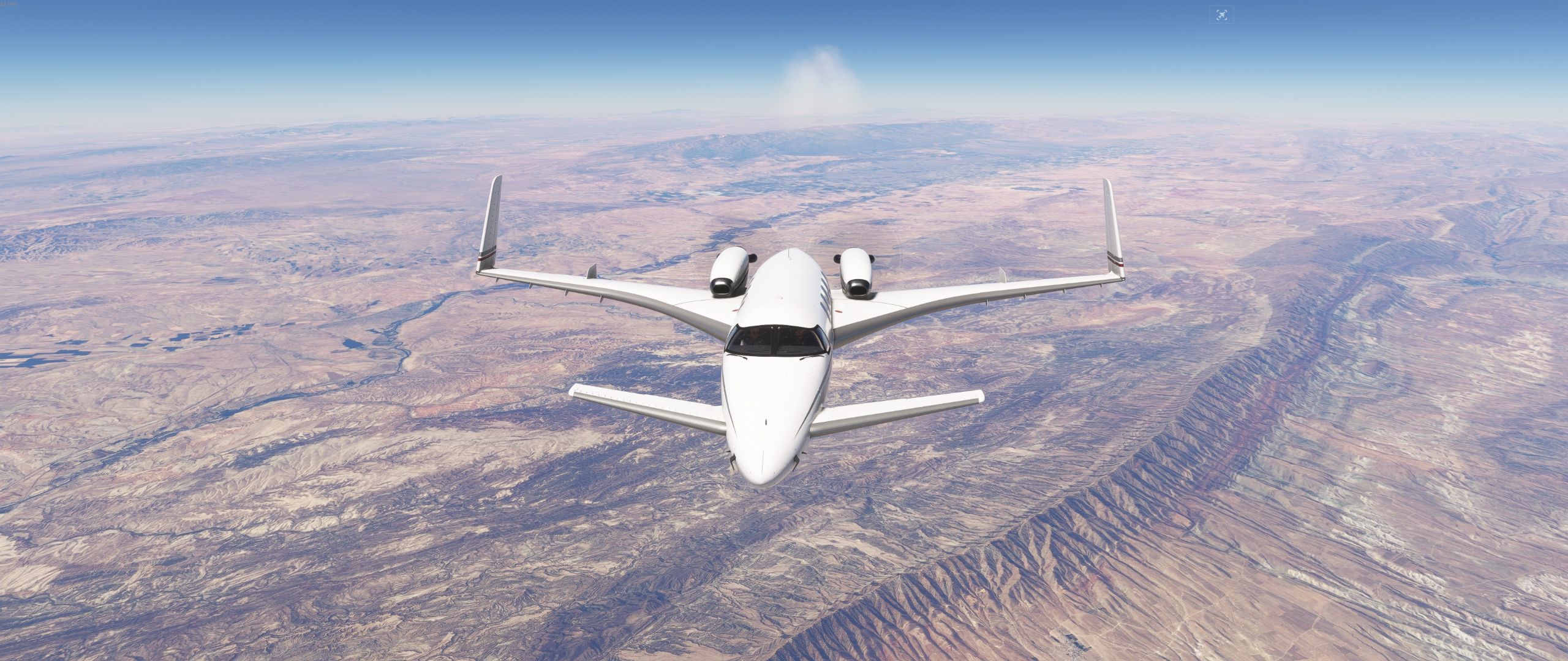
@DrZGard this route will take you right by Mount Everest, only six thousand feet below you on the left side when you're at FL350.
VEPT/25 DCT IPLAS DCT VNLK DCT 28N087E DCT RKZ DCT ZULS/28R
Another, previous screenshot, OIIE to OPIS.
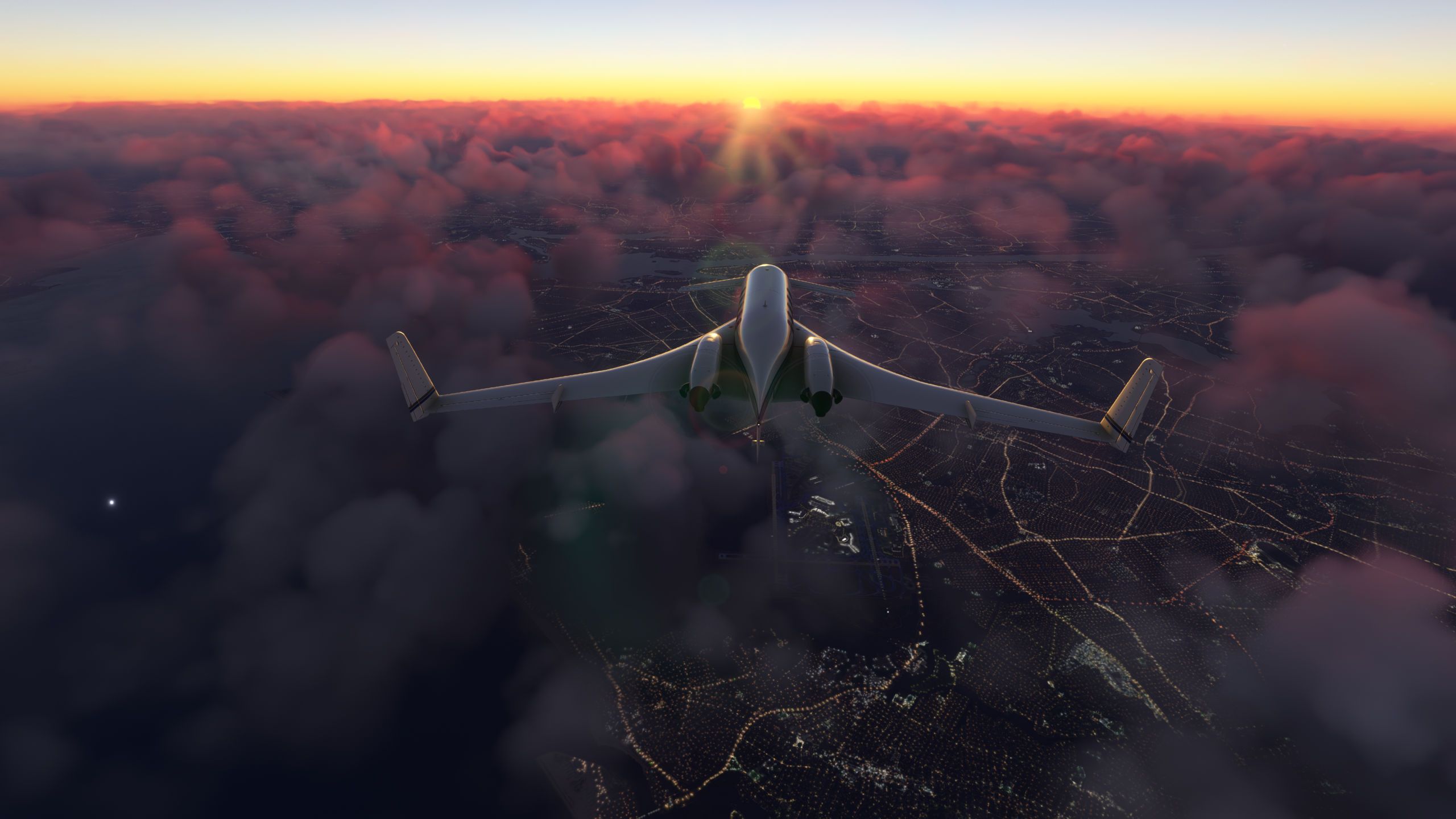
@HansRoaming Made the flight tonight (early morning in MSFS land) using Say Intentions. Everything went swell till starting the descent into ZULS, altitude assignments were way too low and then the vectors would have also taken me into terrain. This is a tricky airport to land at (or depart from) because of the surrounding terrain and very high altitude... I can only imagine what density altitude could do here if the day got that hot. My over the fence TAS was 140 knots!
-
@HansRoaming Made the flight tonight (early morning in MSFS land) using Say Intentions. Everything went swell till starting the descent into ZULS, altitude assignments were way too low and then the vectors would have also taken me into terrain. This is a tricky airport to land at (or depart from) because of the surrounding terrain and very high altitude... I can only imagine what density altitude could do here if the day got that hot. My over the fence TAS was 140 knots!
@DrZGard BayondATC did the same for me, so that's interesting.
I believe pilots have special training due to the changes in manoeuvring at that altitude, flights are also scheduled for the morning and night due to the high winds in the afternoon.
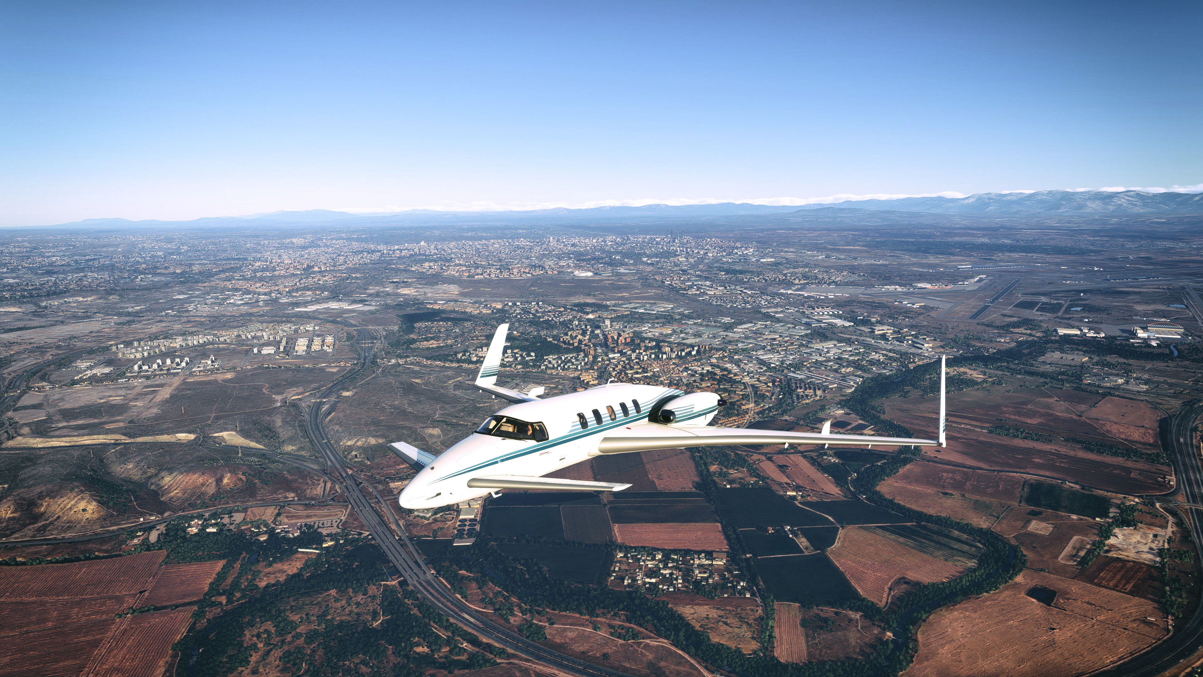
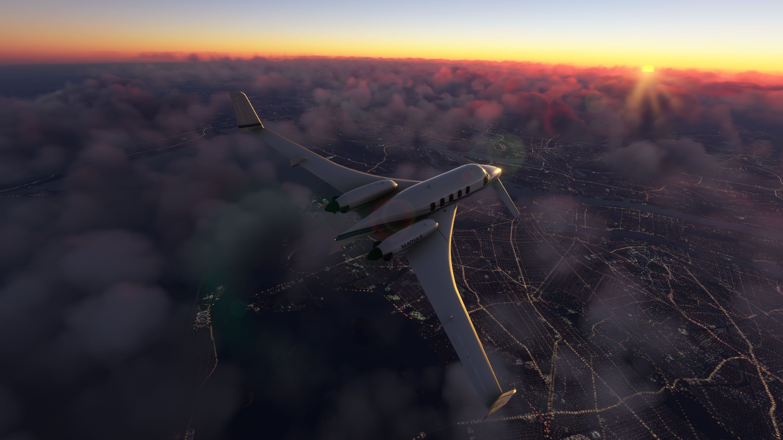
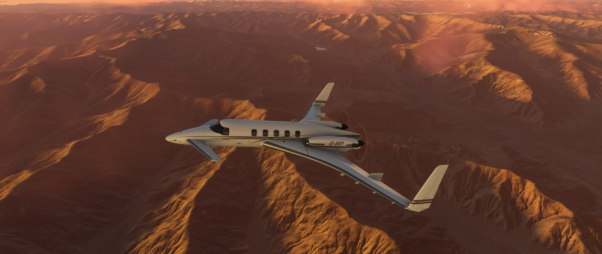
ZULS - ZPPP, dawn departure.
-
-
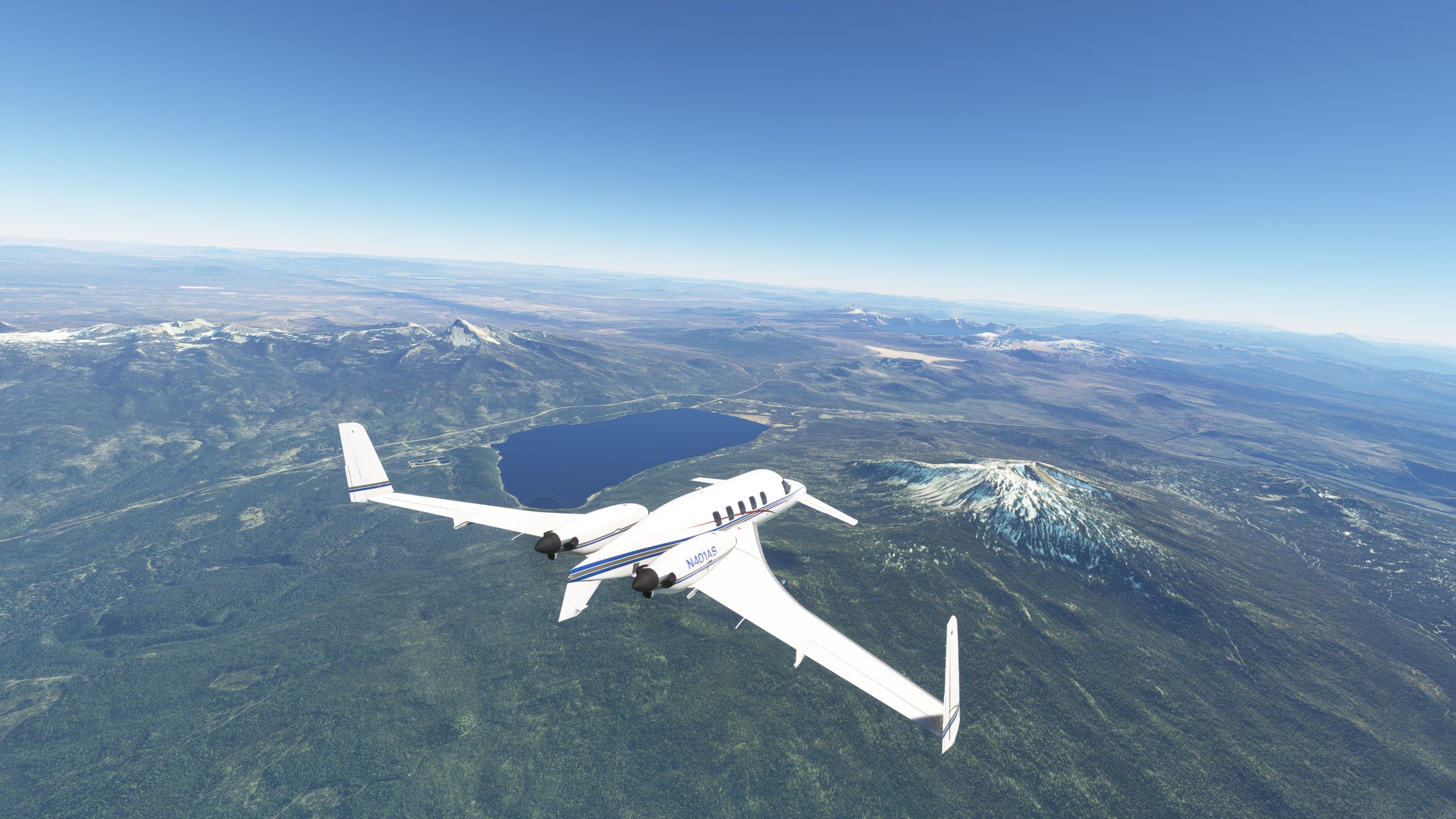
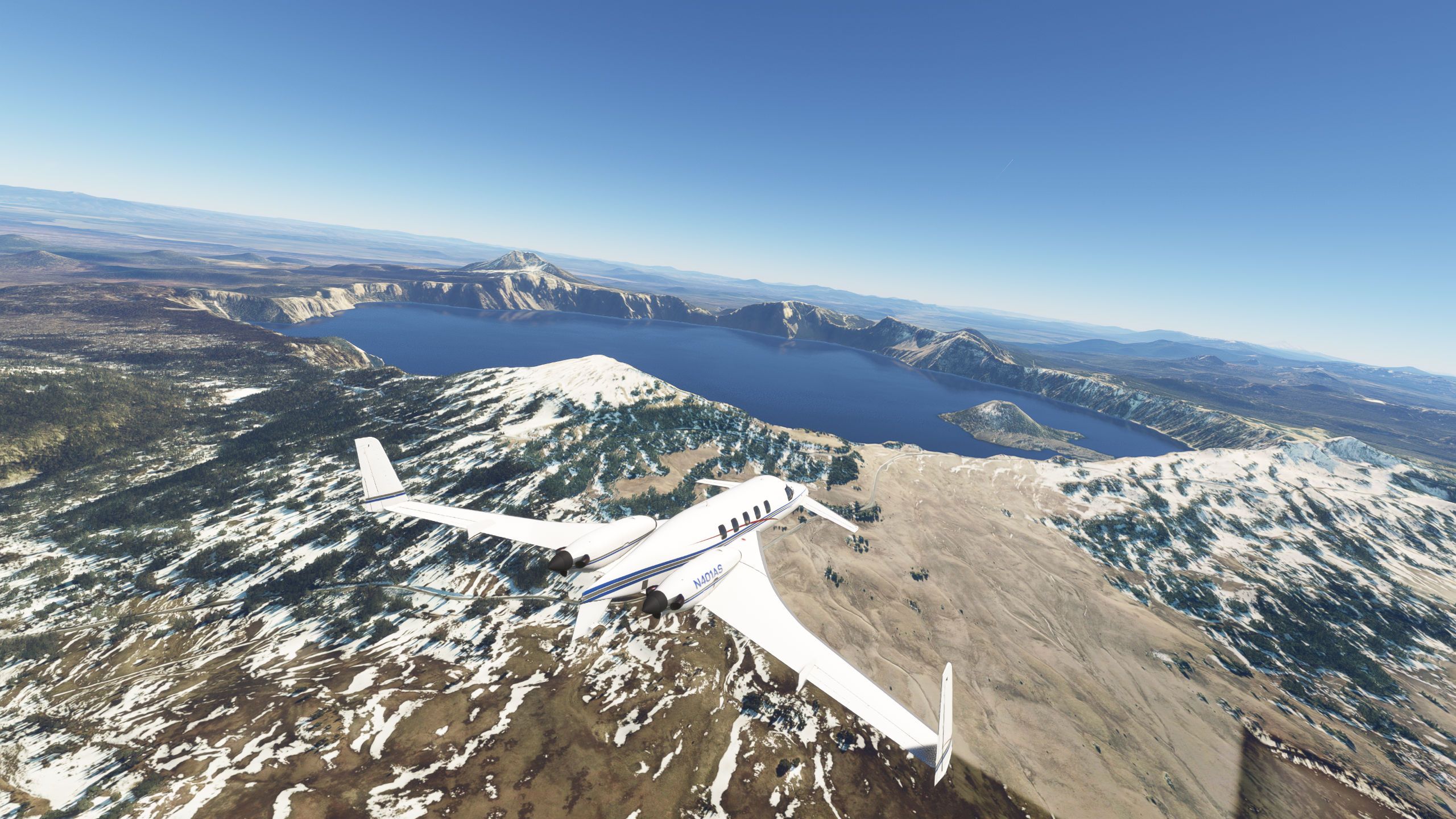
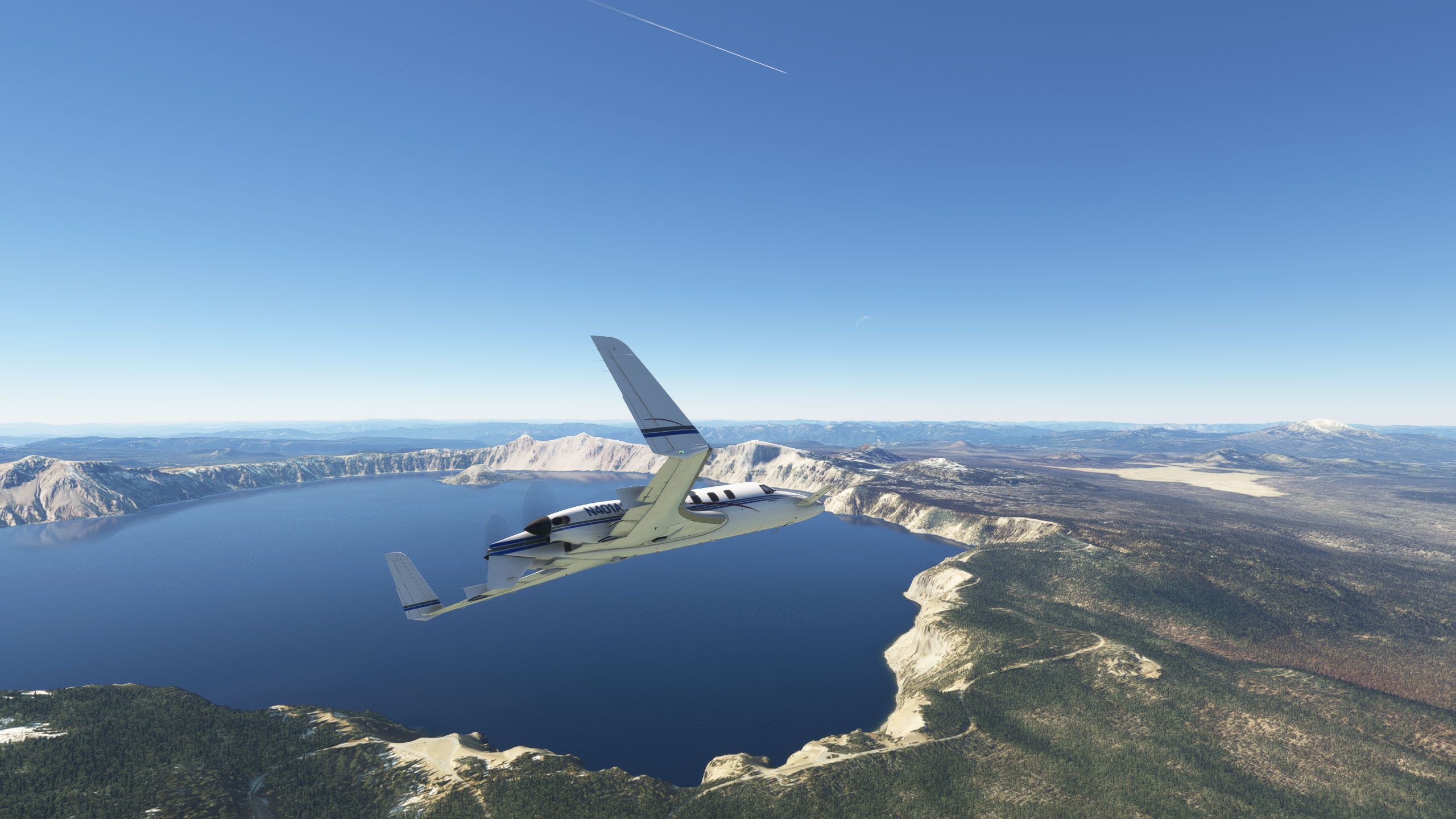
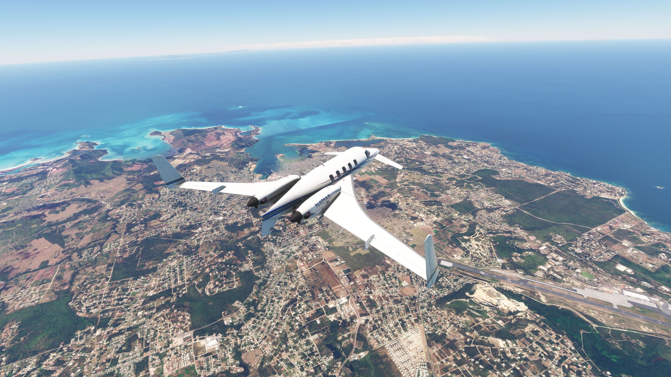
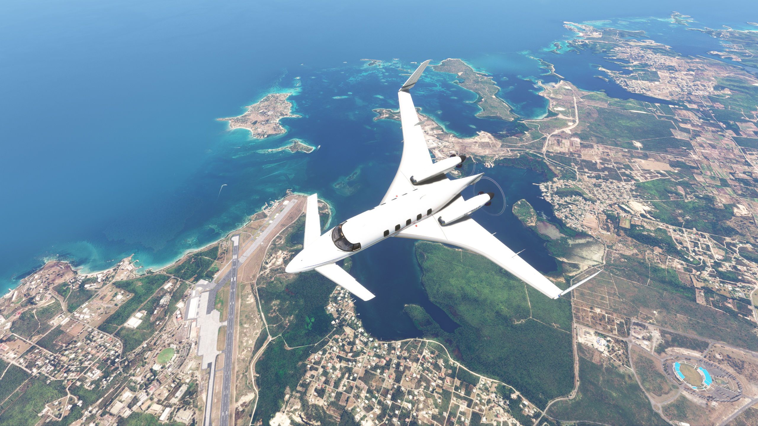
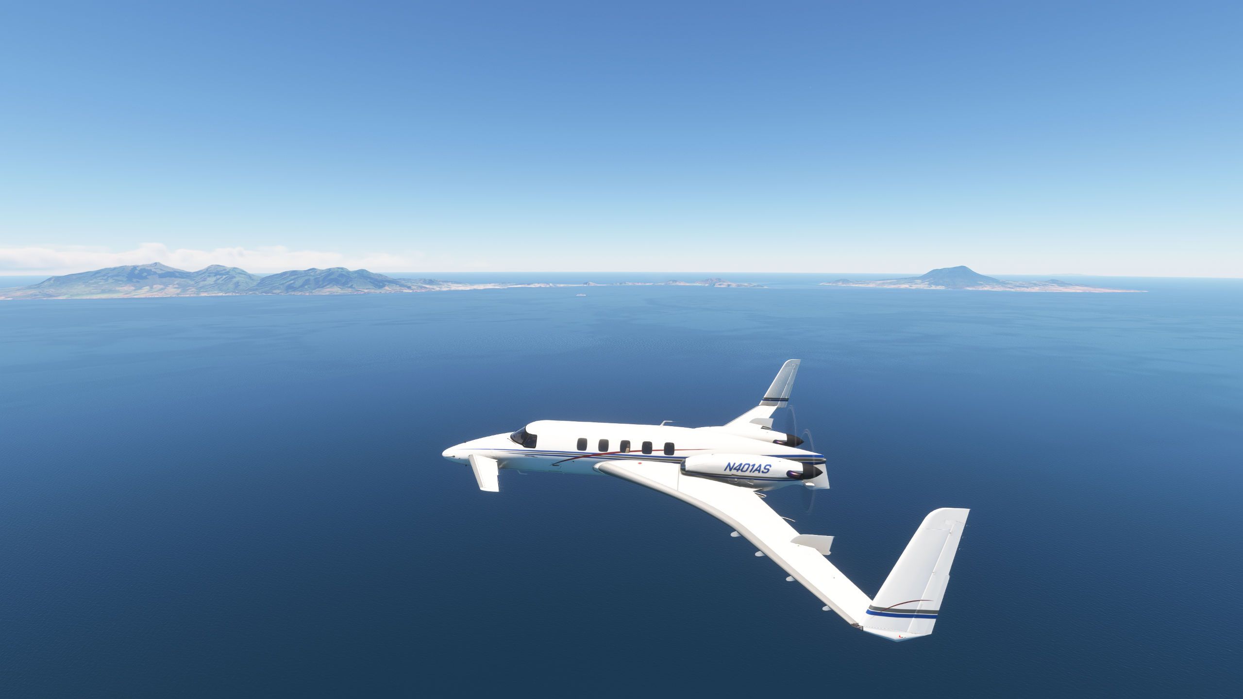
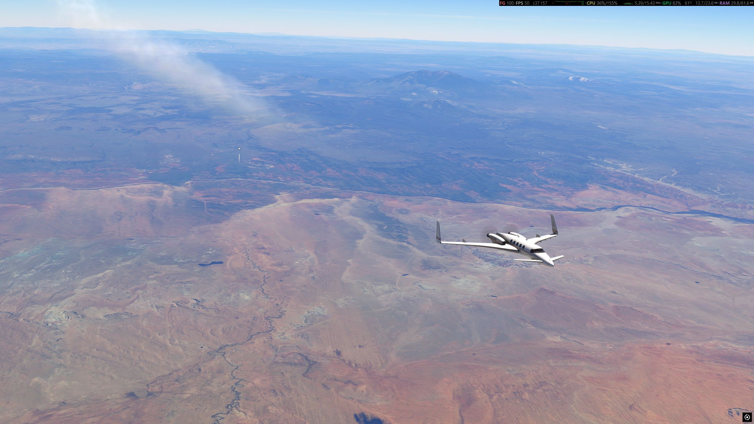
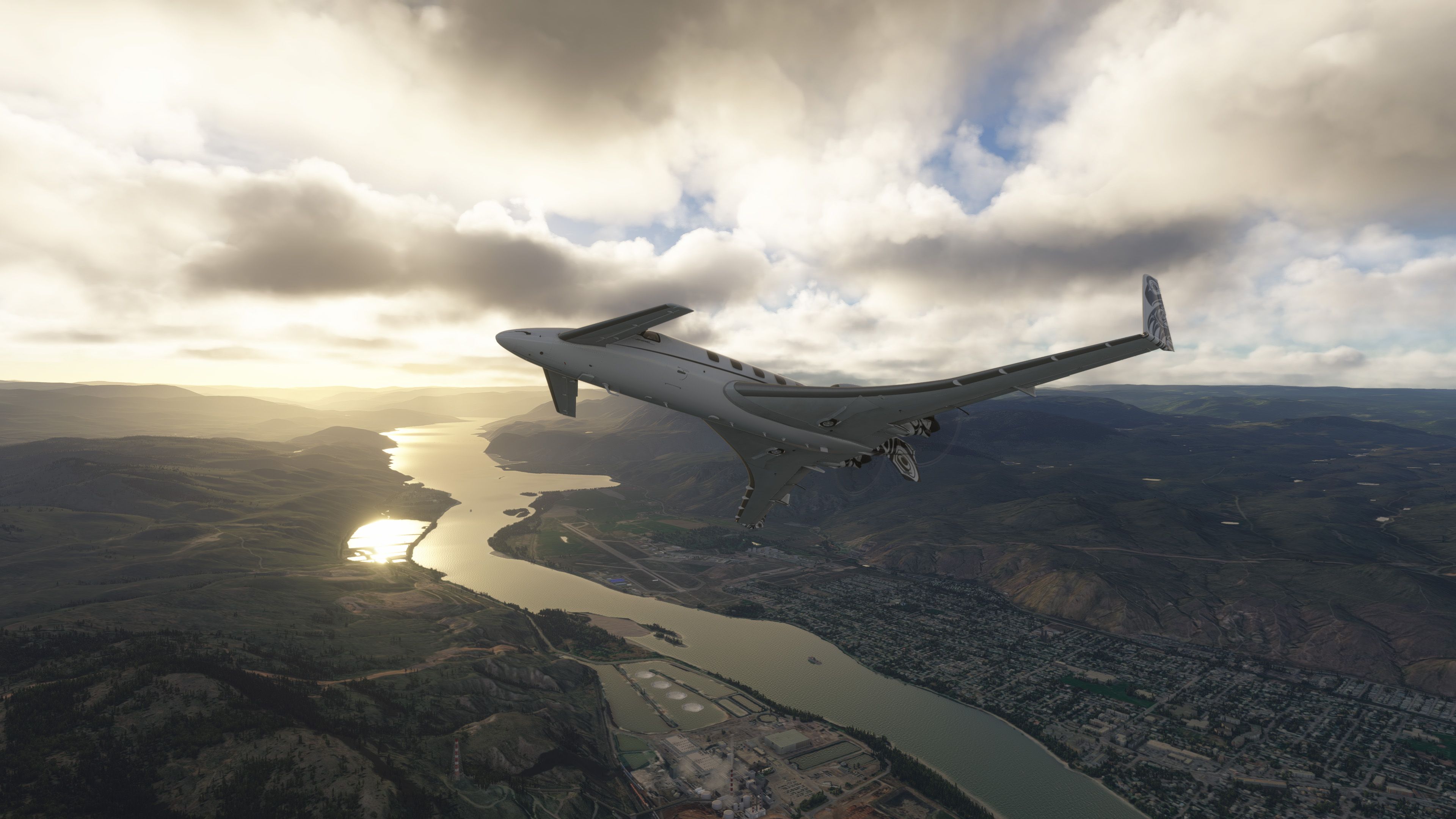
Kelowna - Kamloops - Squamish today:
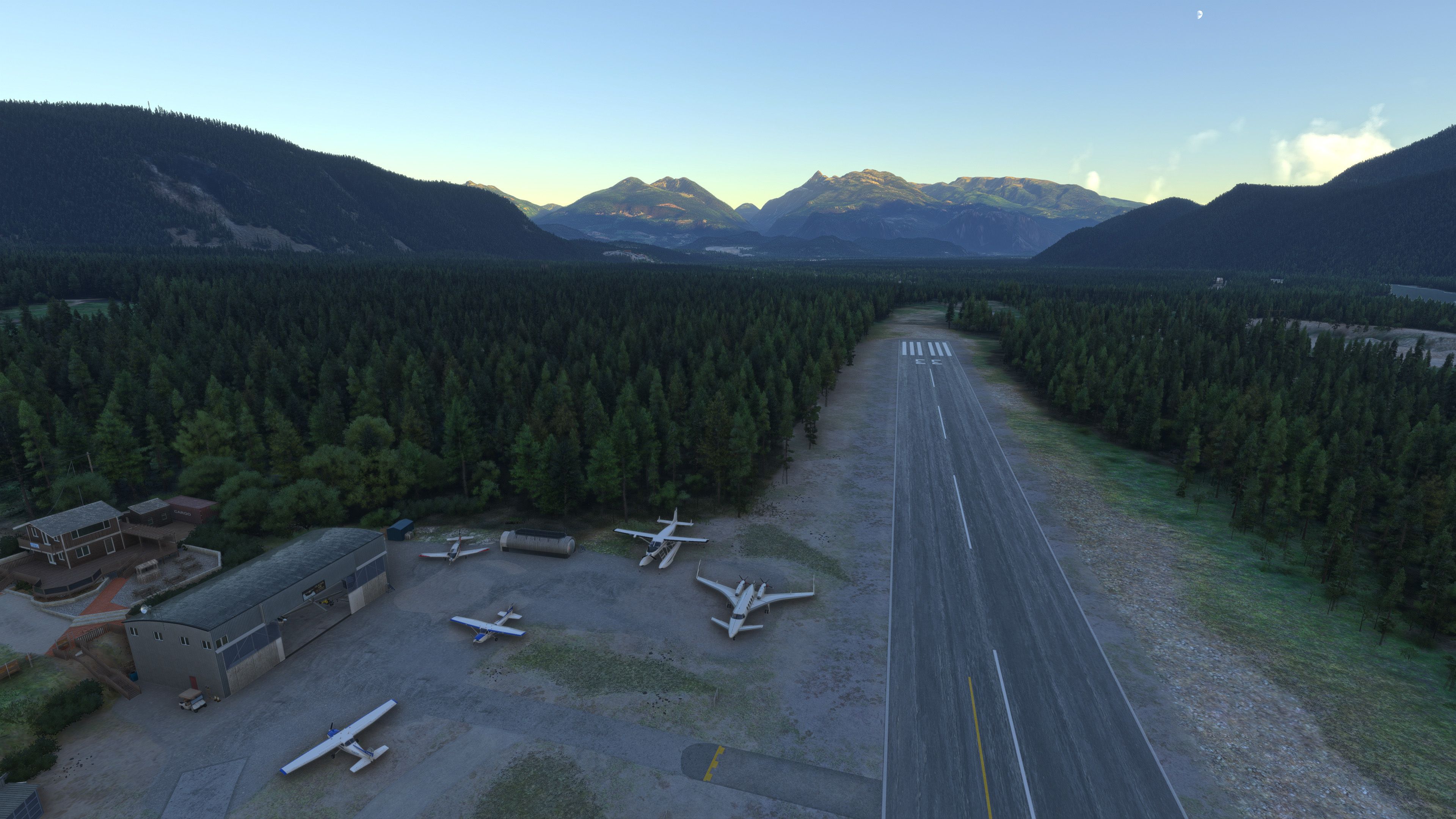
@Marionettework I wish the FSimStudios Kelowna (or even a freeware Kelowna) had the night beacons used for landing positional awareness arranged around the airport pattern area. They are a very unique night feature of this particular airport.
-
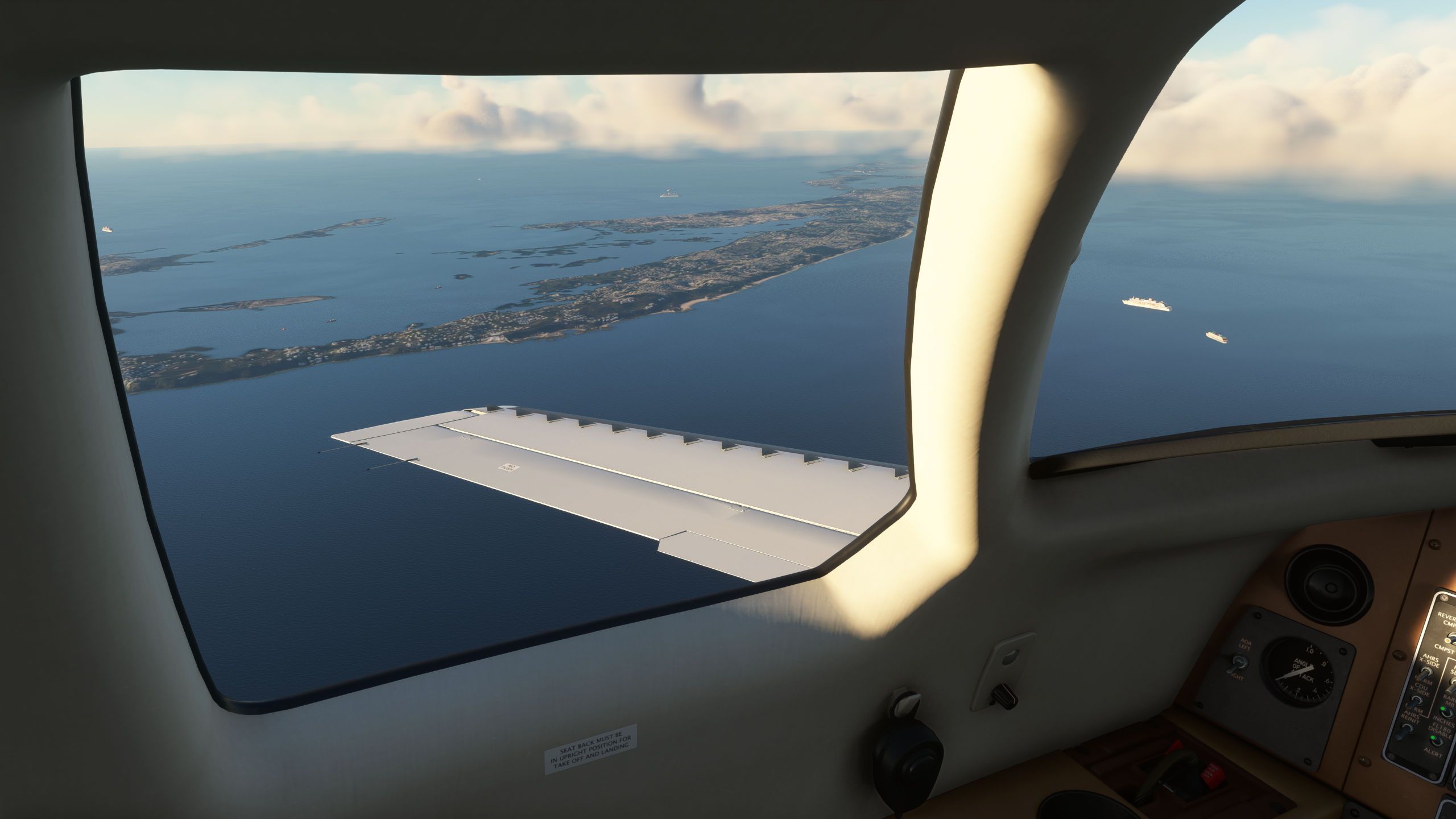
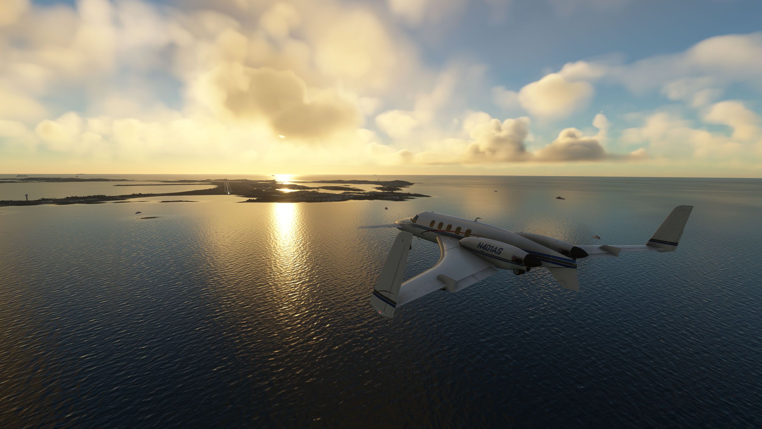
Phoenix Sky Harbor to San Diego Lindbergh
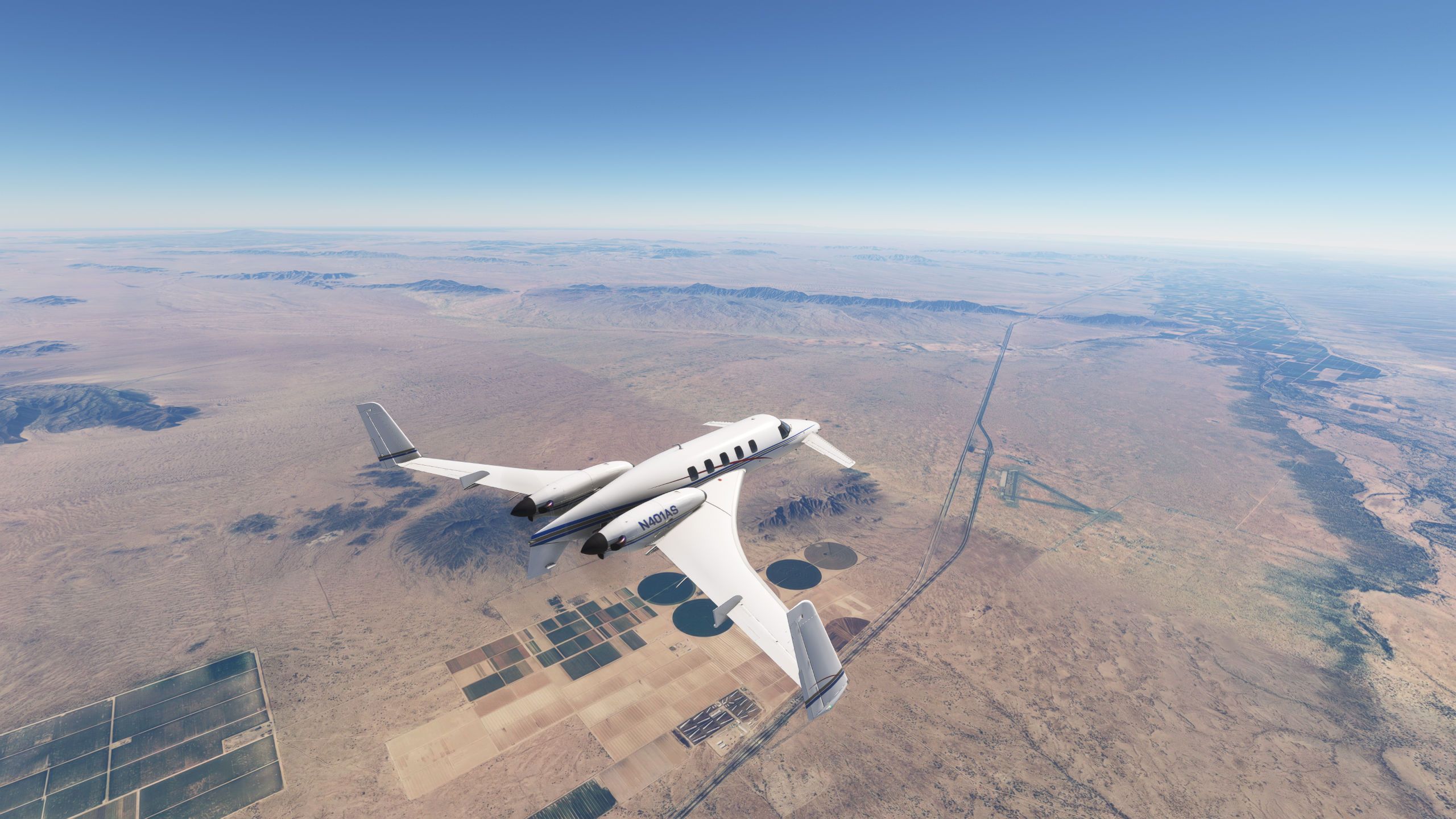
Over Interstate 8, Dateland airport which despite being closed as an AAF in 1957 still has good runway and concrete parking, a series of developers have tried to turn it into a live at destination as recently as 2015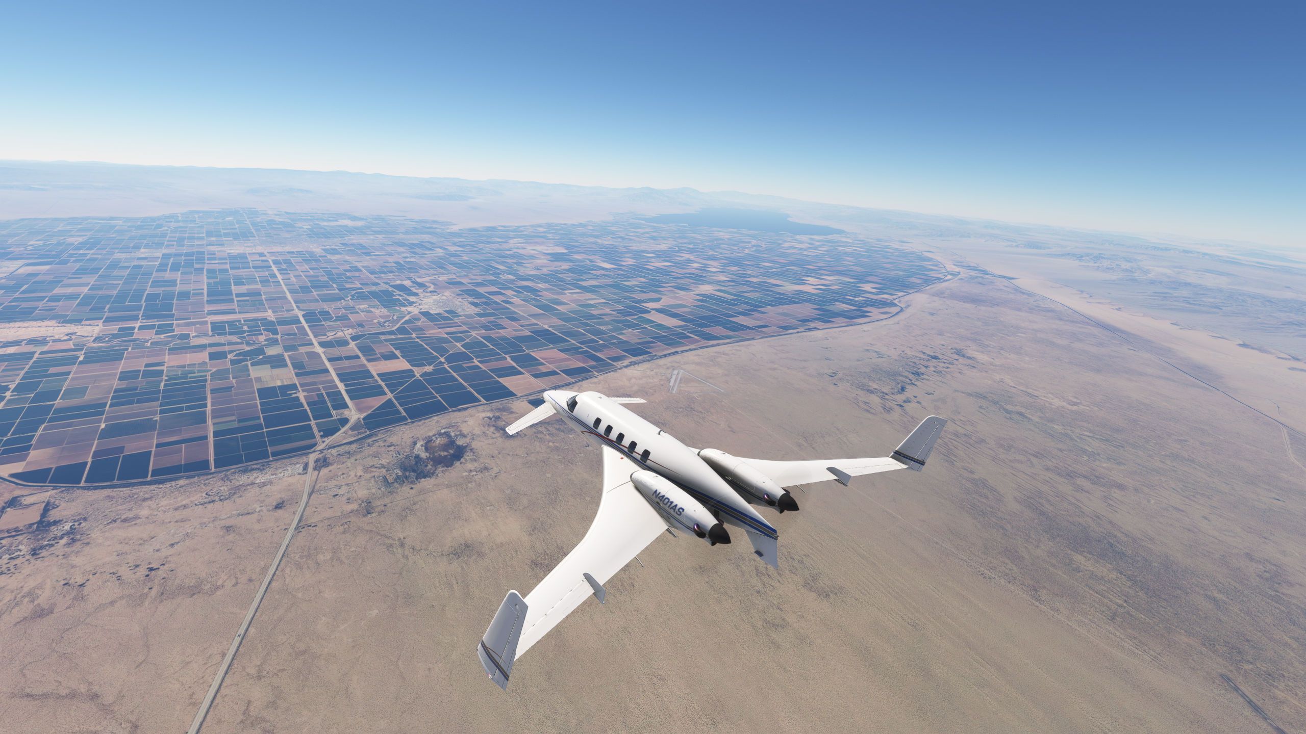
Approaching El Centro with the Holtville airport off the canard to the right, one runway is still active, the other gets used by SCCA and other auto racing events. I have a 1/2 hour of logged flying time in a RAF C130 thanks to an event I attended there!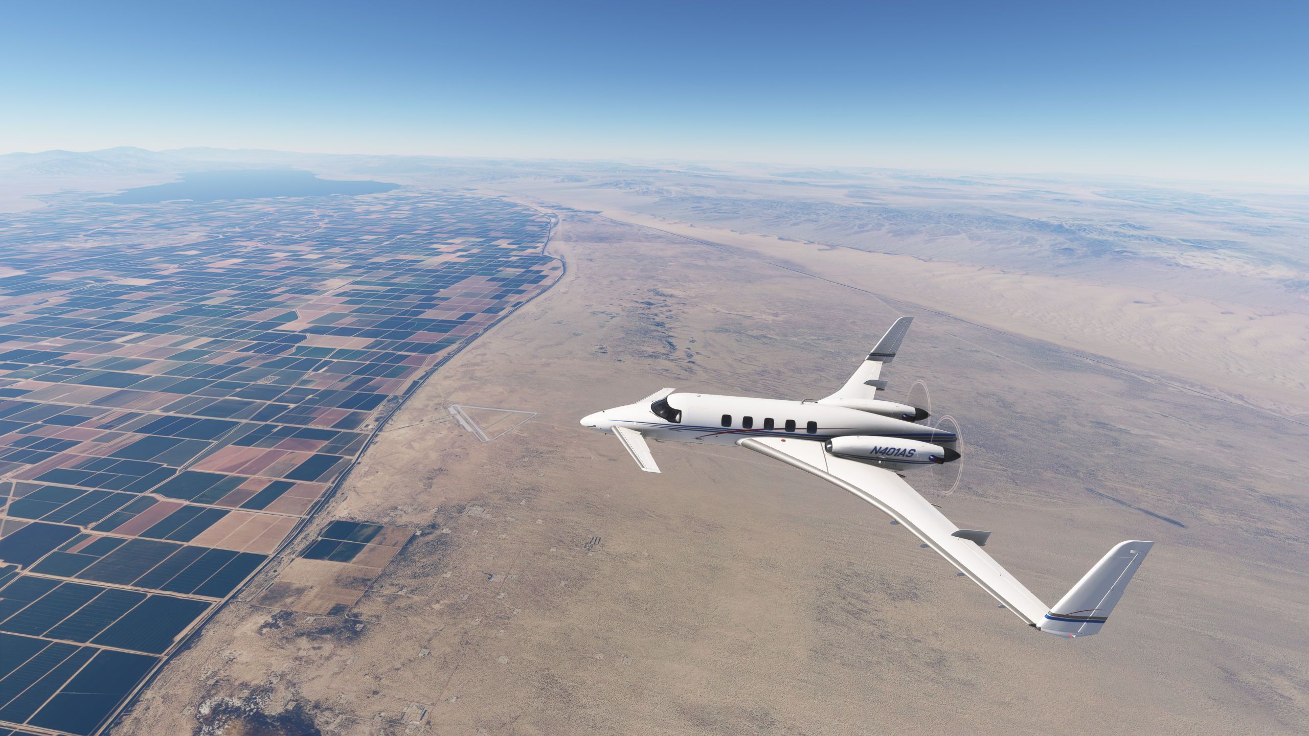
Another shot of Holtville off the nose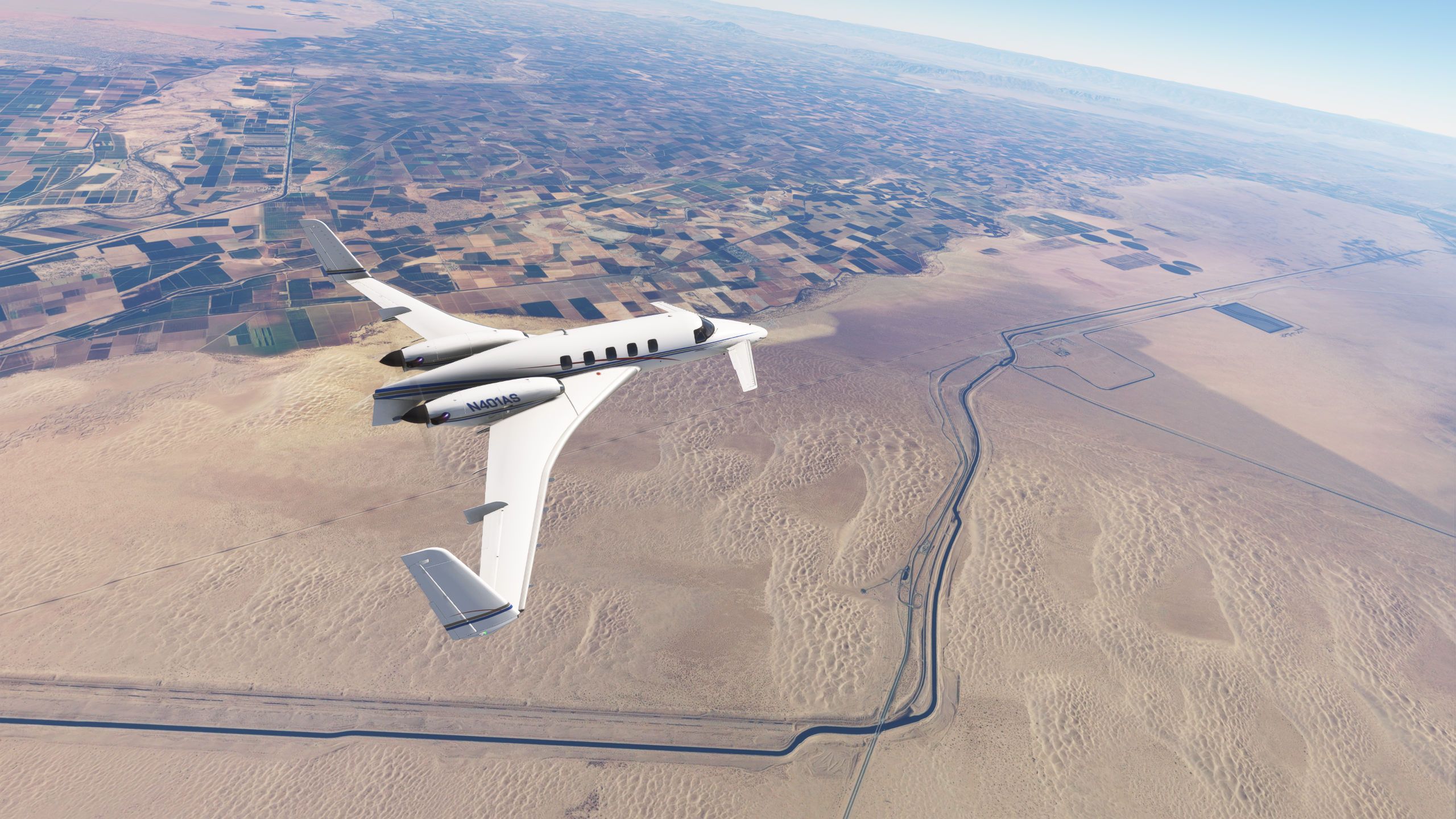
The sand bar just West of Yuma AZ (on the CA side) is where my father and I would take our drag buggy in the early 1980's. The part South of I-8 is called Buttercup and the part much further North gets called Glamis, I've duned in both. Trivia fact, the Buttercup valley is where the Return of the Jedi desert scenes were shot. I would drive around the fenced and guarded set and Lucas actually tried to privately reserve the State Park over the Labor Day weekend to which he was told NO!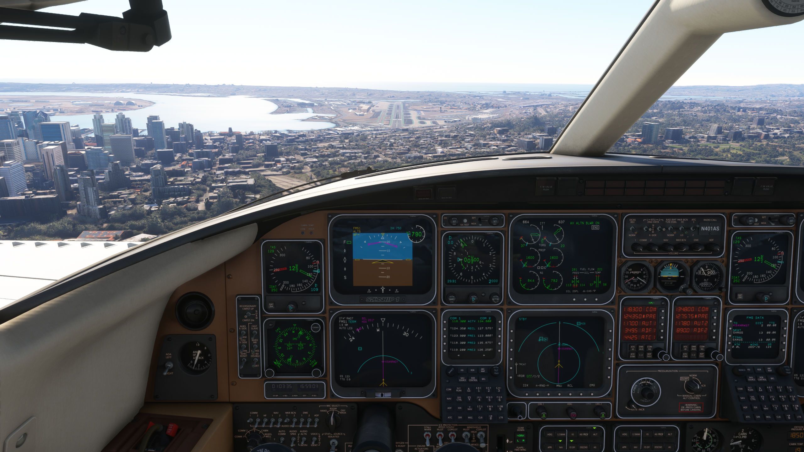
RNAV Y 27 Lindbergh, hand flown since I don't use the Working Titles GNS430 (it will negate the ability to use the GA on the flight director which I deem more important).