Skip to content
  • Categories
  • Recent
  • Tags
  • Popular
  • Users
Collapse
Just Flight Community Forum
  1. Home
  2. Just Flight
  3. MSFS Products
  4. Black Square Add-Ons
  5. Starship
  6. Screenshot Thread

Screenshot Thread

Scheduled Pinned Locked Moved Starship
107 Posts 25 Posters 10.0k Views 1 Watching
  • Oldest to Newest
  • Newest to Oldest
  • Most Votes
Reply
  • Reply as topic
Log in to reply
This topic has been deleted. Only users with topic management privileges can see it.
  • OrlaamO Offline
    OrlaamO Offline
    Orlaam
    wrote on last edited by
    #88

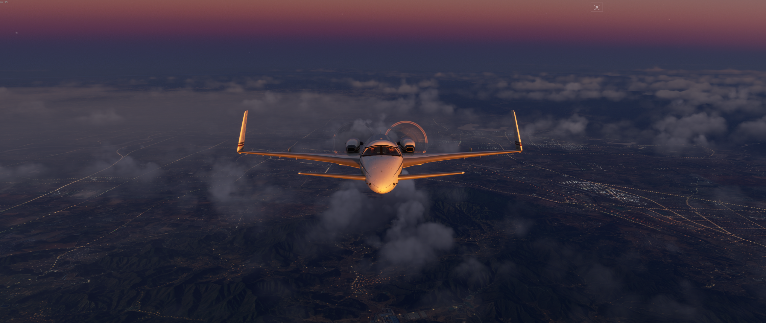
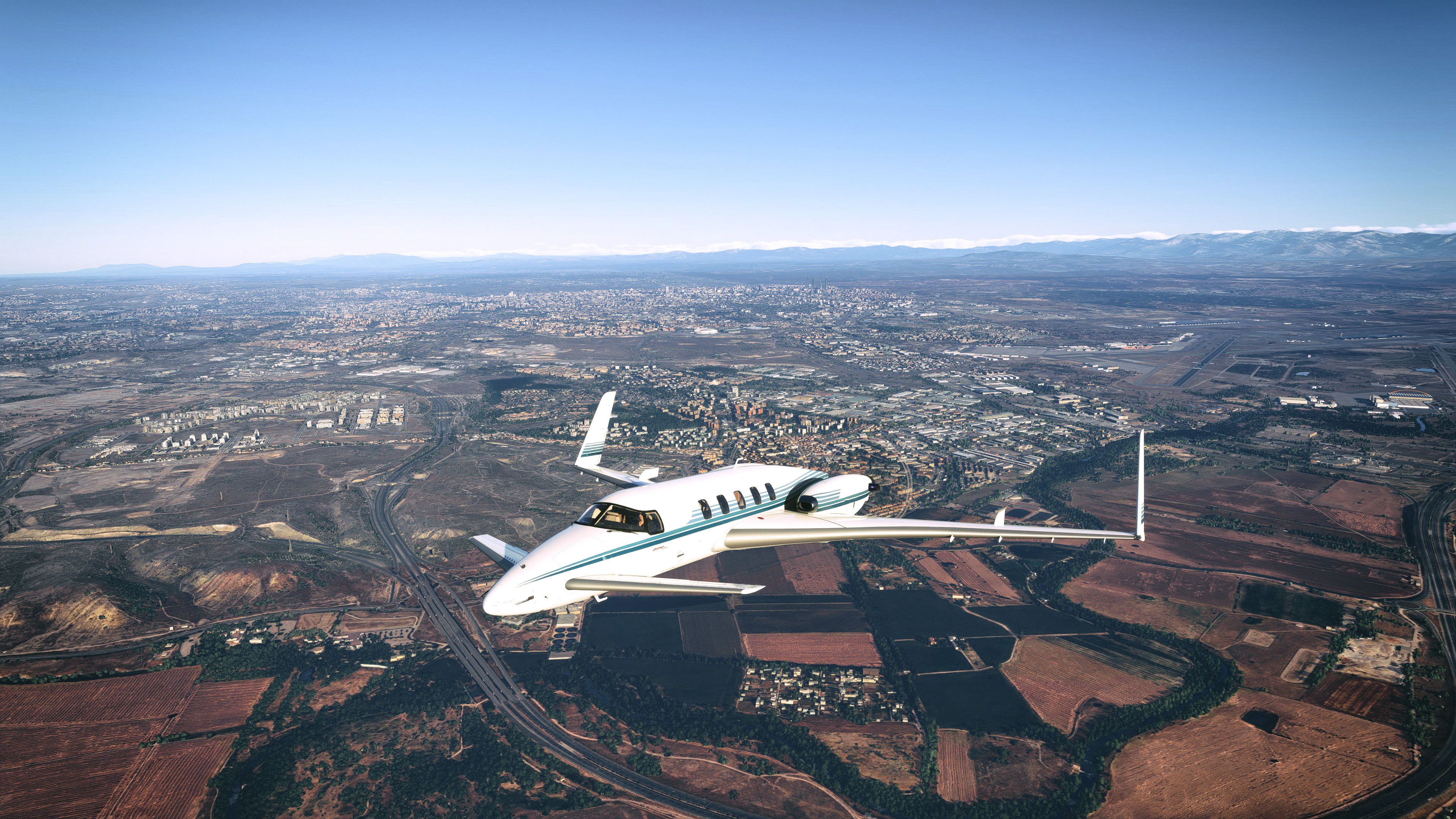
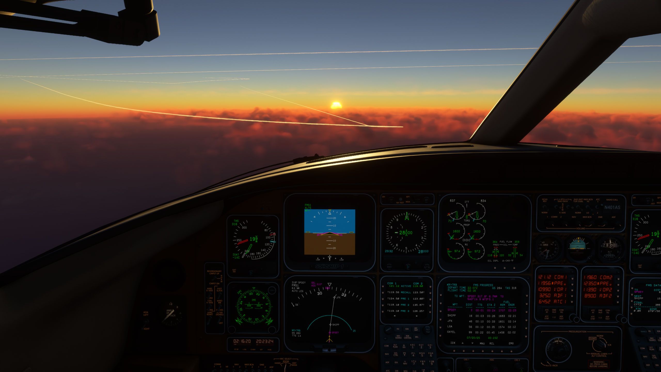
    Departing Madrid
    20250719233422_1.jpg
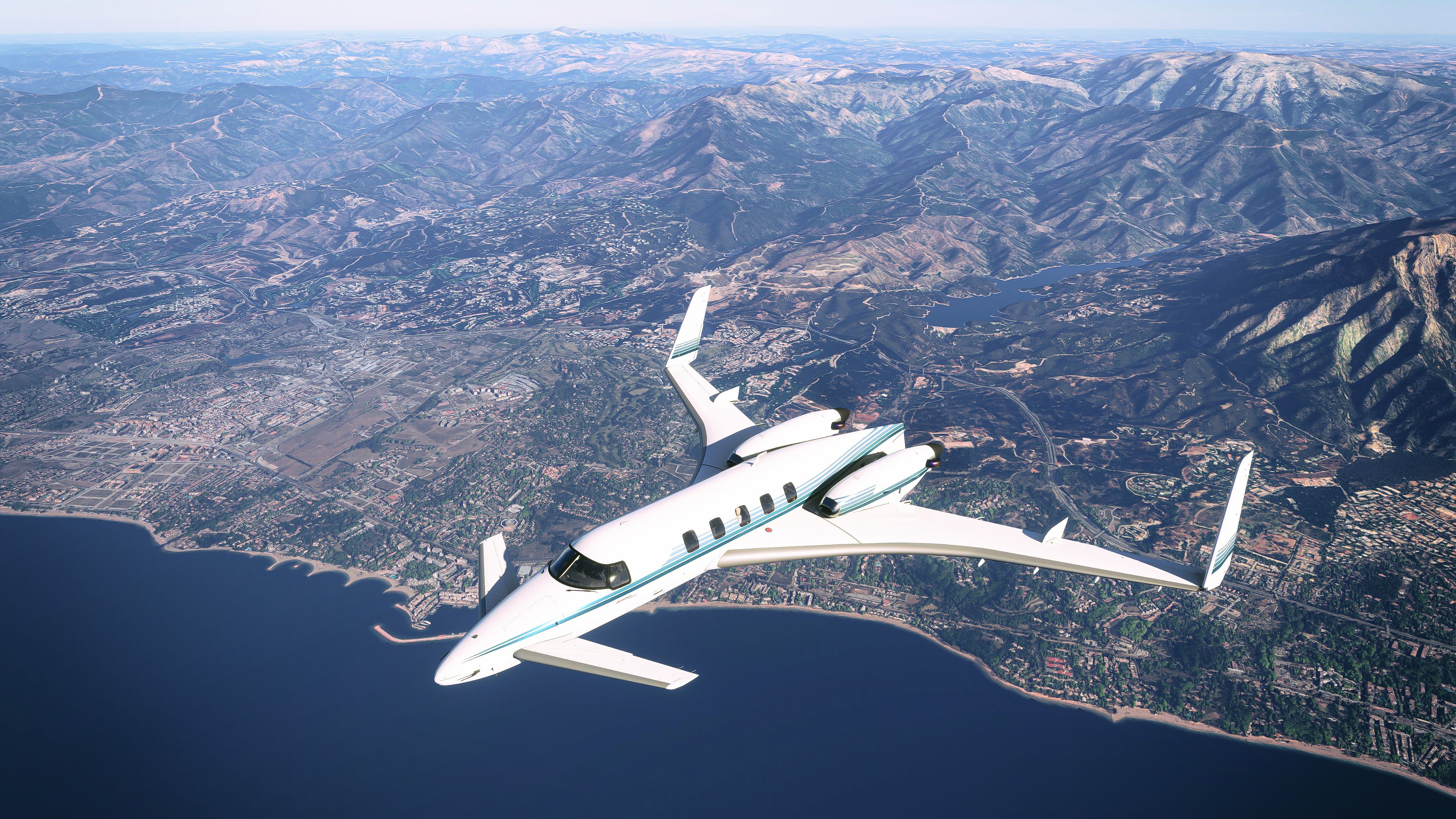
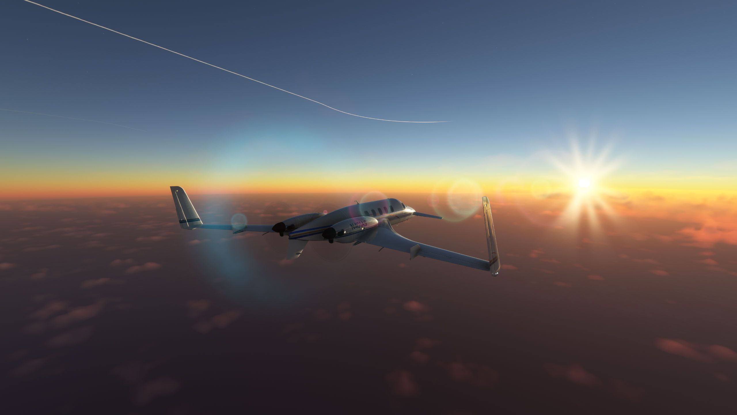
    Approaching Gibraltar
    20250720003224_1.jpg
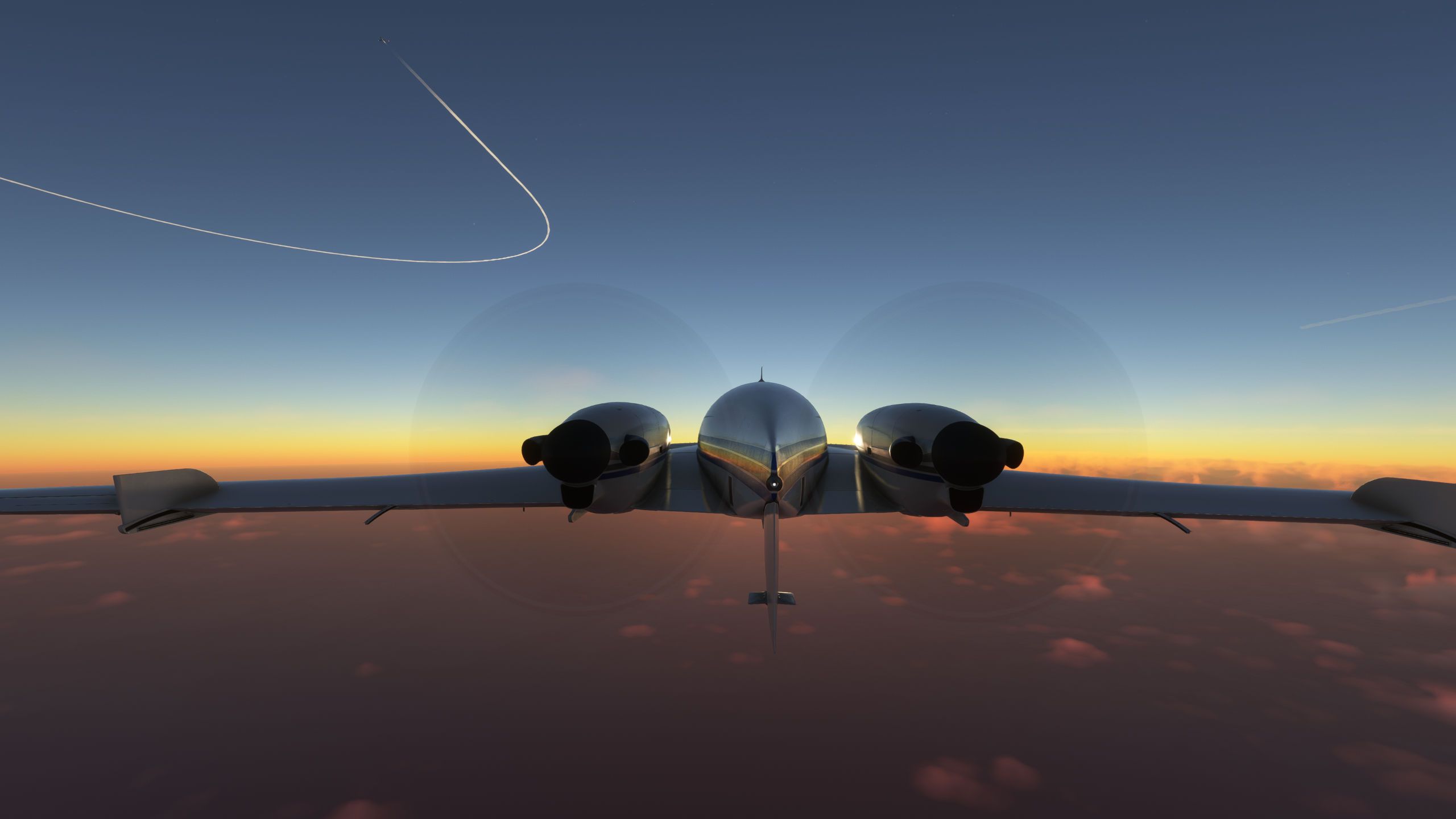
    20250720002445_1.jpg
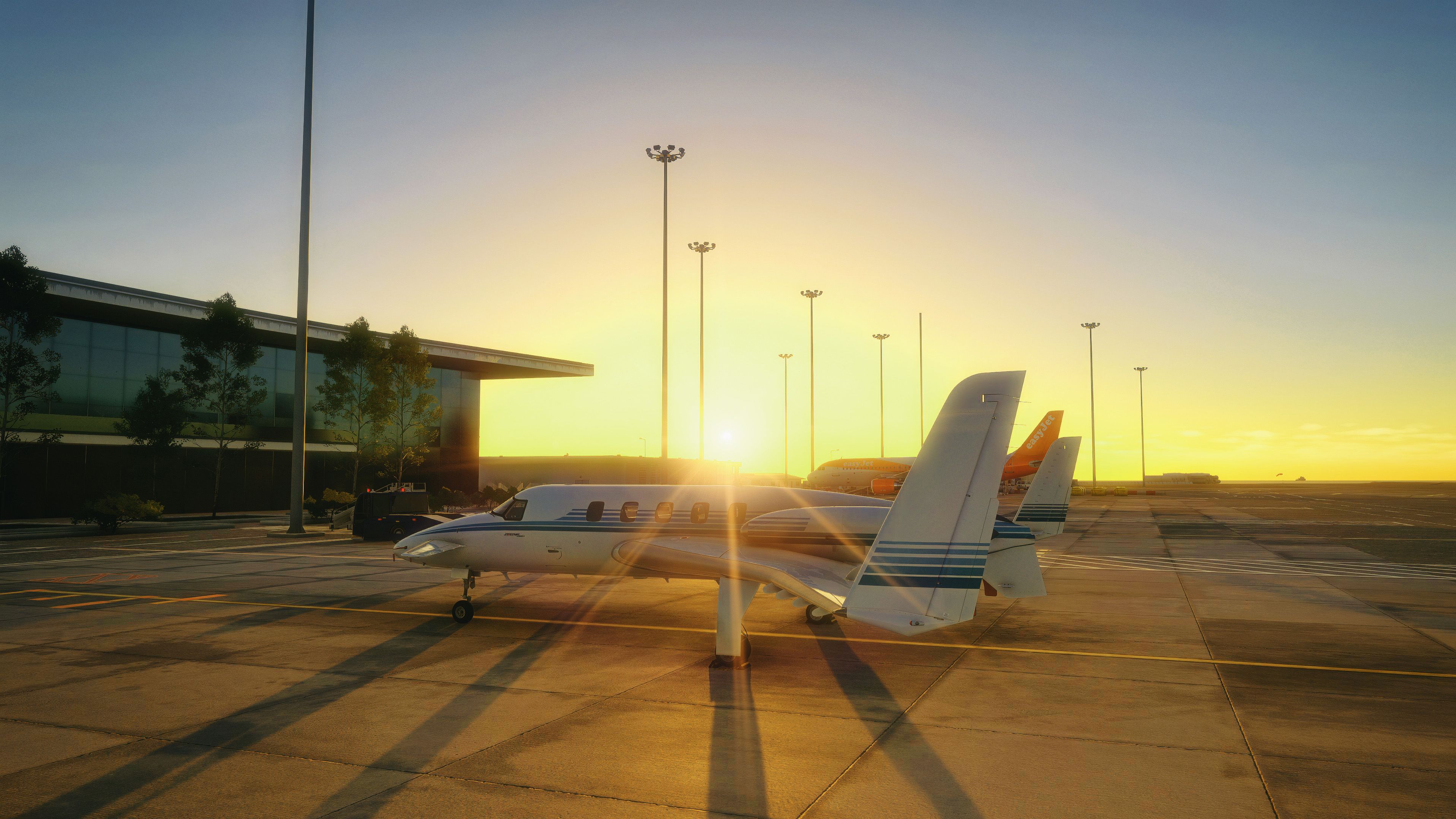
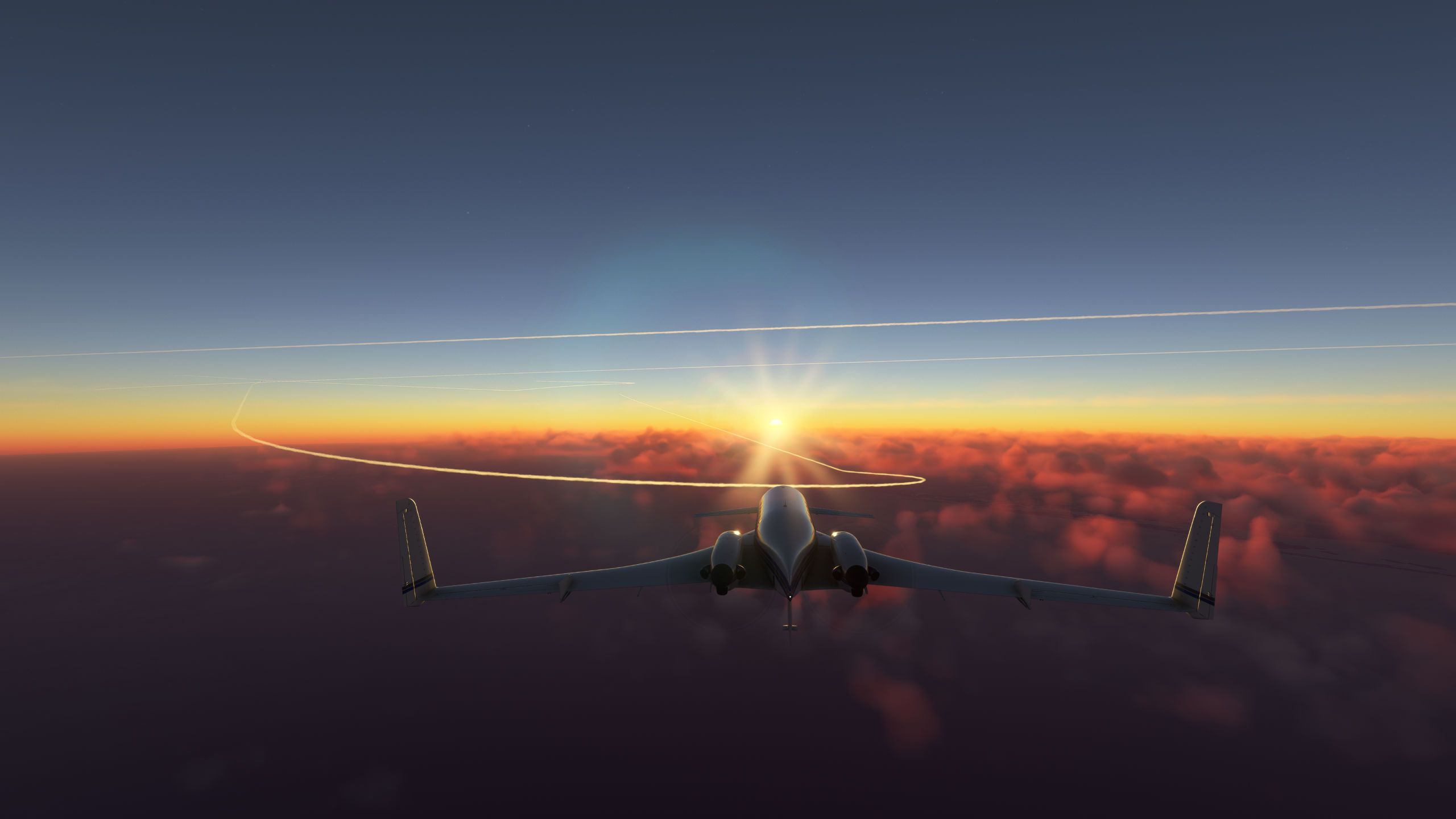
    Ambience shot
    20250720005137_1.jpg

    1 Reply Last reply
    2
    • DrZGardD Offline
      DrZGardD Offline
      DrZGard
      wrote on last edited by
      #89

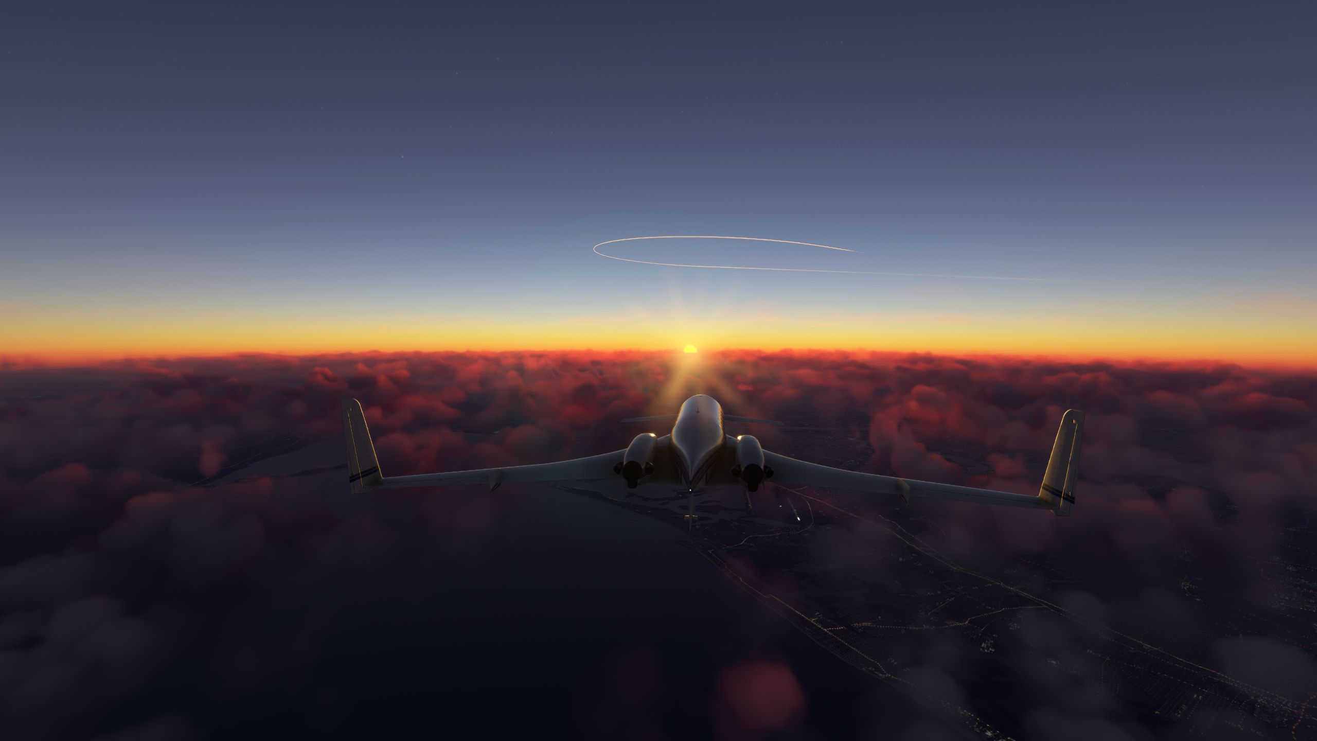
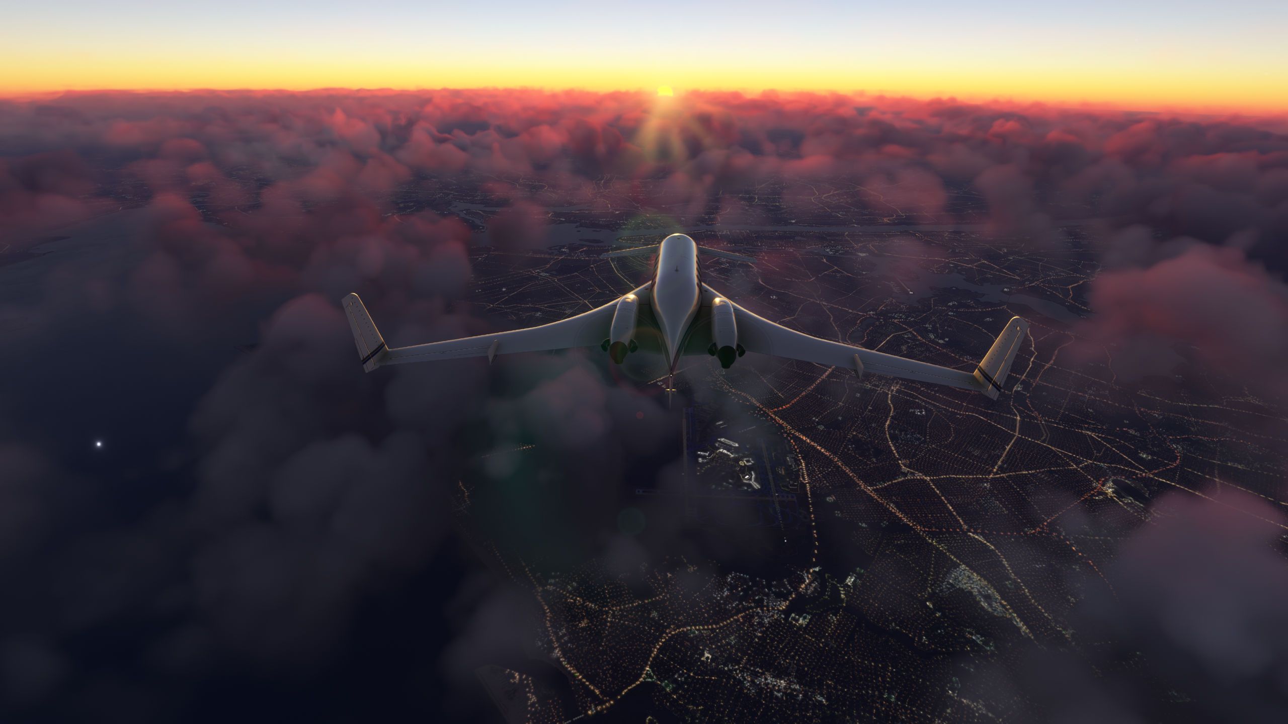
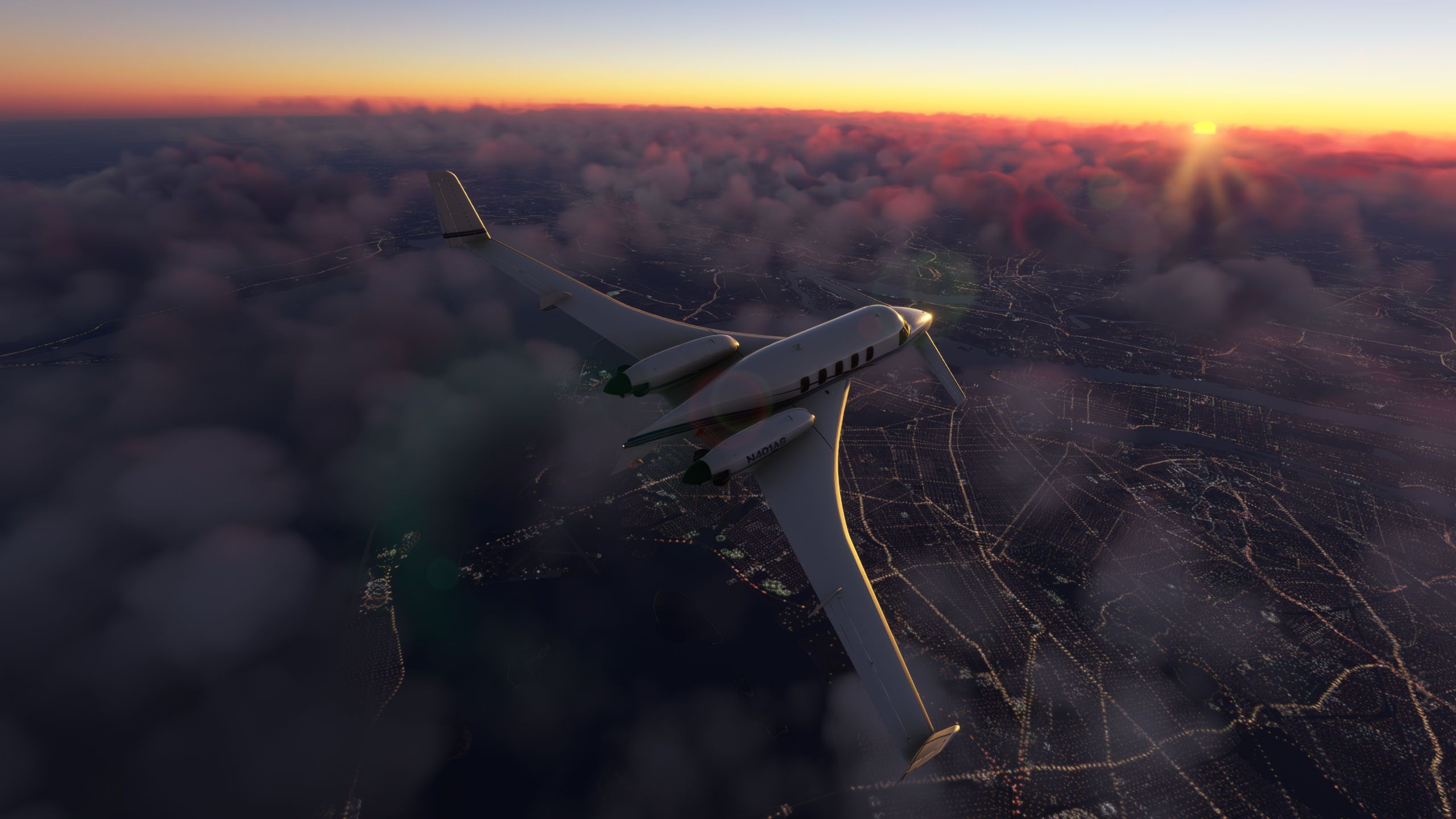
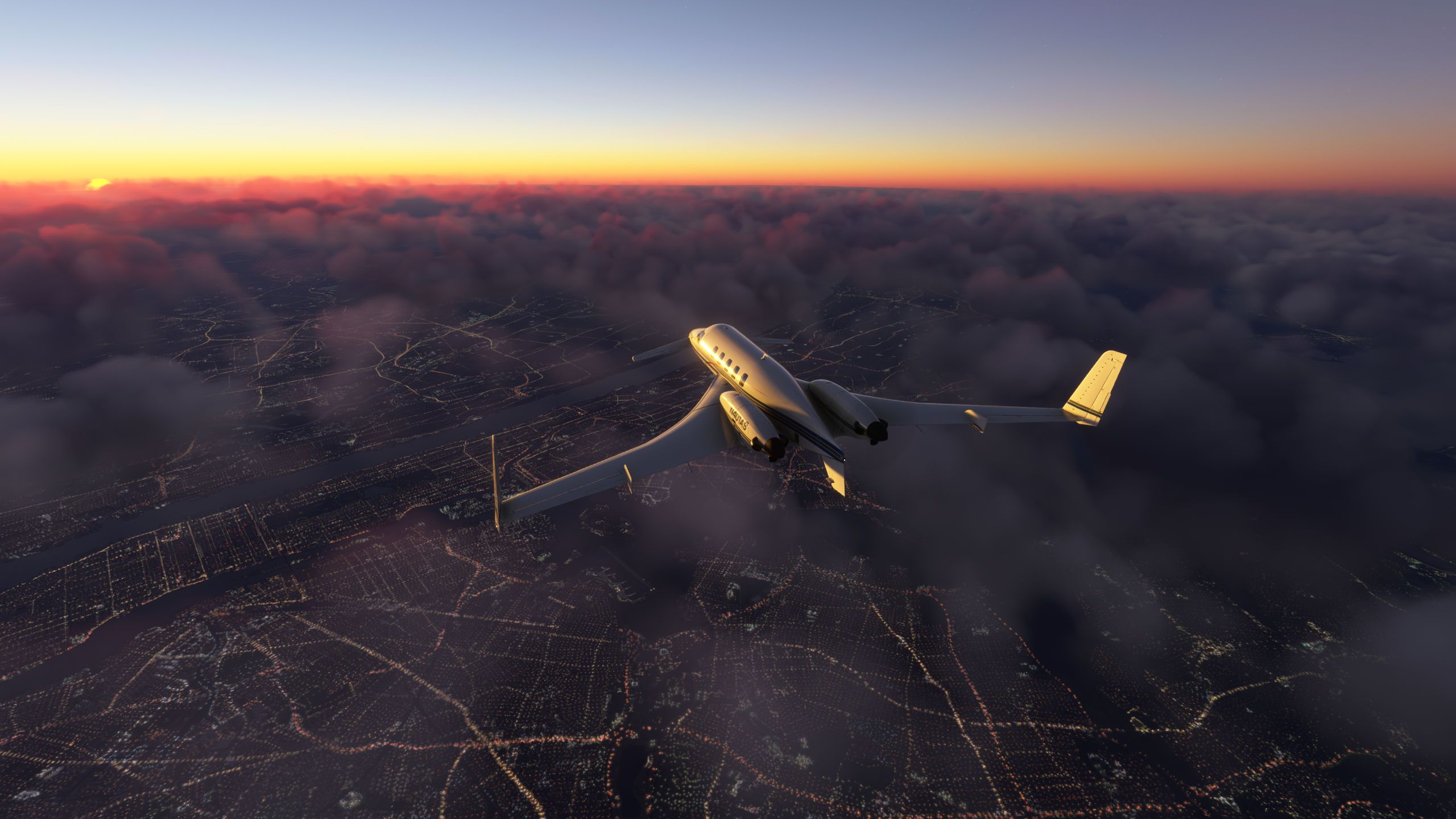
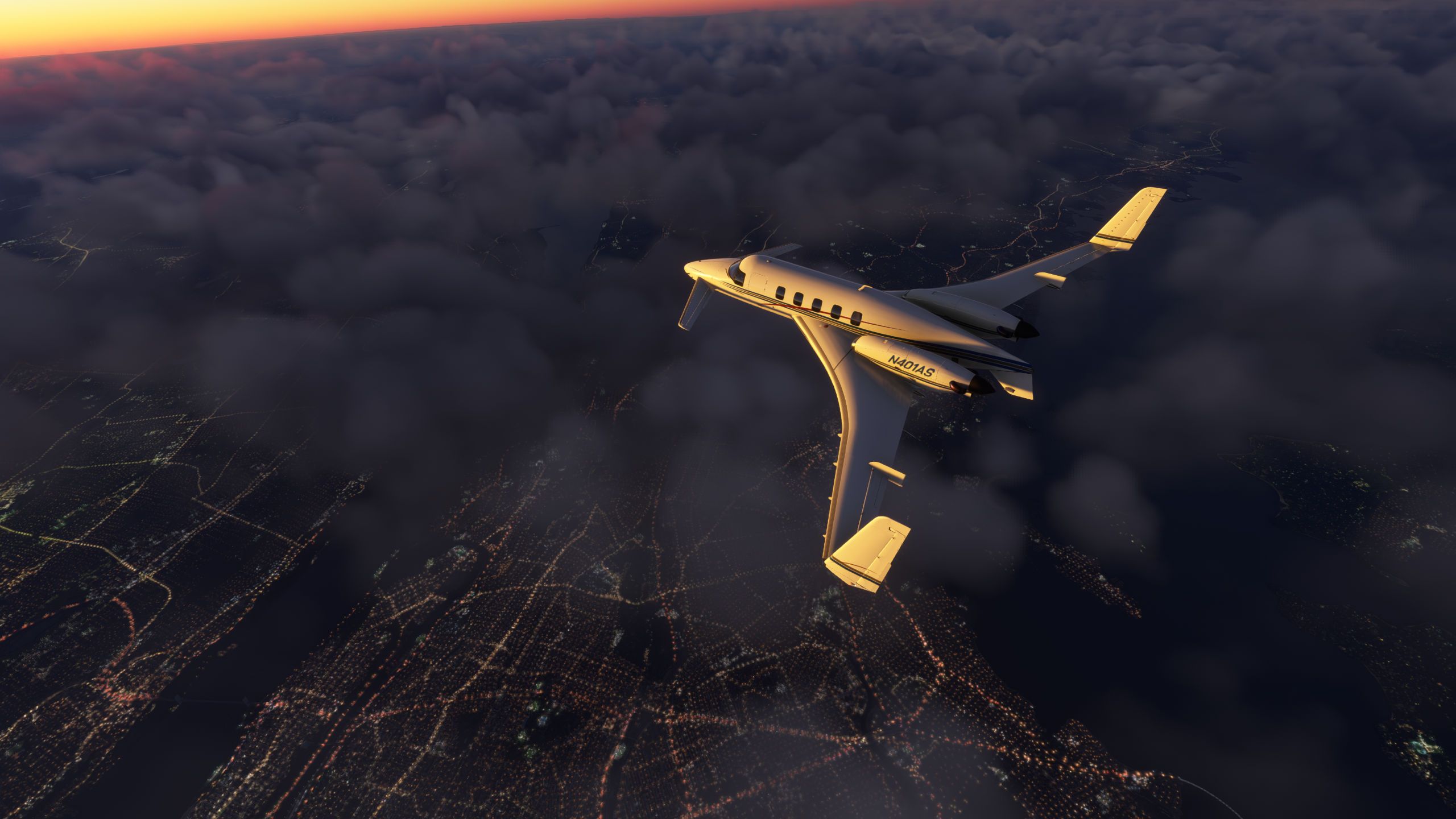
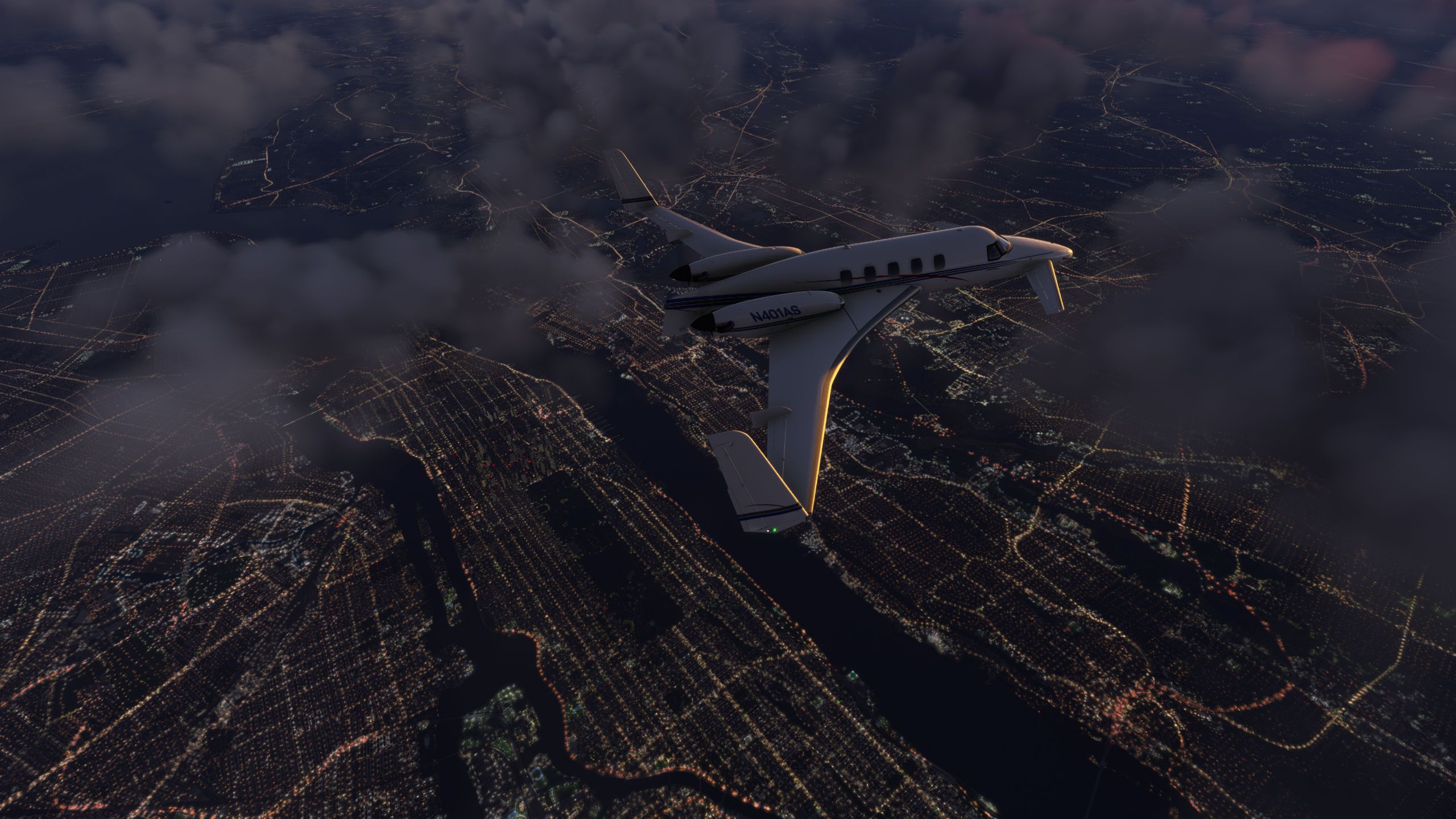
      Sunset over New York
      Microsoft Flight Simulator 7_20_2025 8_07_50 PM.jpg
      Microsoft Flight Simulator 7_20_2025 8_04_16 PM.jpg
      Microsoft Flight Simulator 7_20_2025 8_04_47 PM.jpg
      Microsoft Flight Simulator 7_20_2025 8_08_03 PM.jpg
      Microsoft Flight Simulator 7_20_2025 8_14_00 PM.jpg
      Microsoft Flight Simulator 7_20_2025 8_16_20 PM.jpg
      Microsoft Flight Simulator 7_20_2025 8_17_36 PM.jpg
      Microsoft Flight Simulator 7_20_2025 8_18_17 PM.jpg
      Microsoft Flight Simulator 7_20_2025 8_19_56 PM.jpg
      Microsoft Flight Simulator 7_20_2025 8_20_30 PM.jpg

      1 Reply Last reply
      3
      • hughesj2H Offline
        hughesj2H Offline
        hughesj2
        wrote on last edited by
        #90

        Departing a cloudy Farnborough...
        CloudyFarnborough.jpg

        1 Reply Last reply
        2
        • DrZGardD Offline
          DrZGardD Offline
          DrZGard
          wrote last edited by
          #91

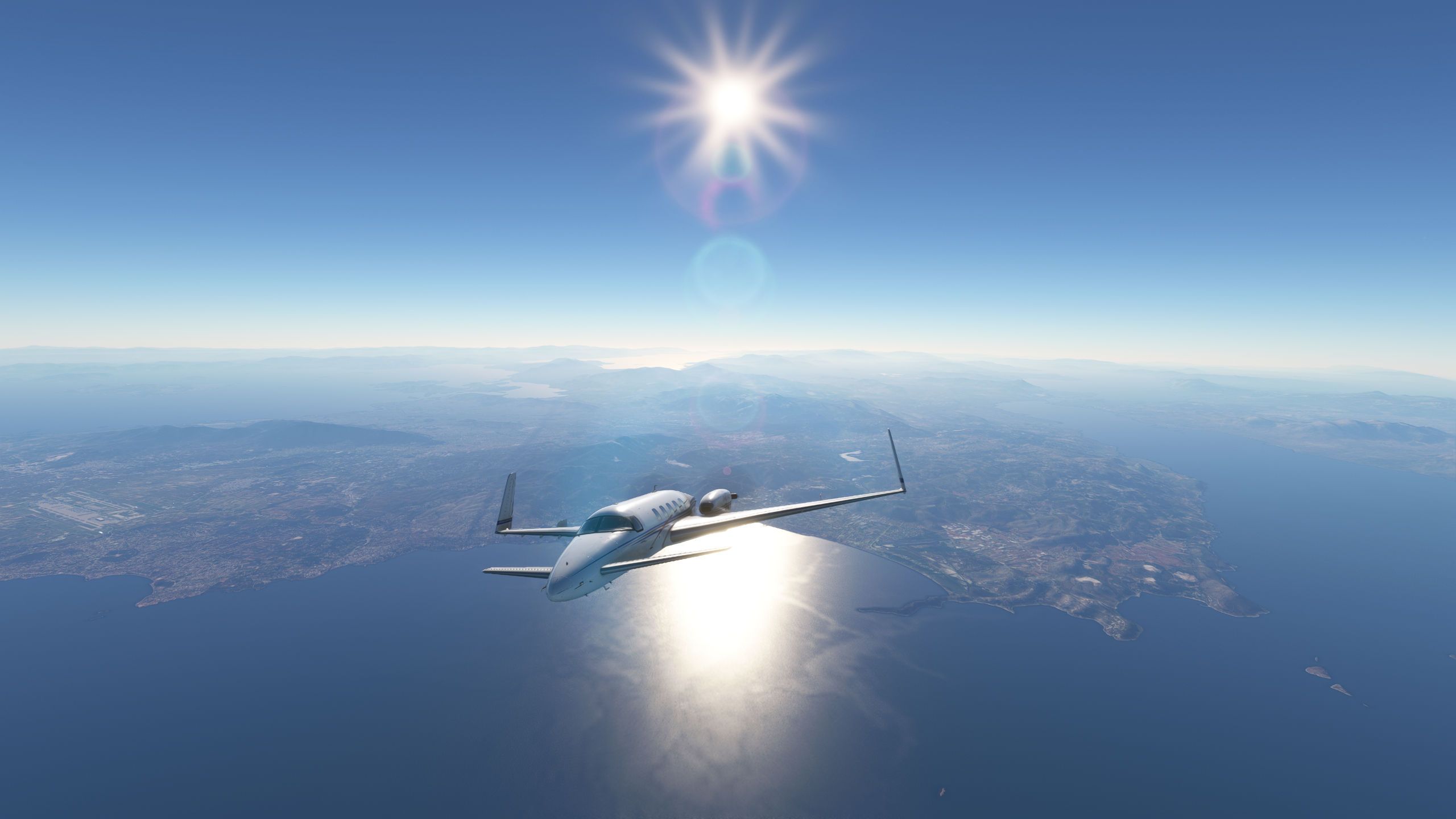
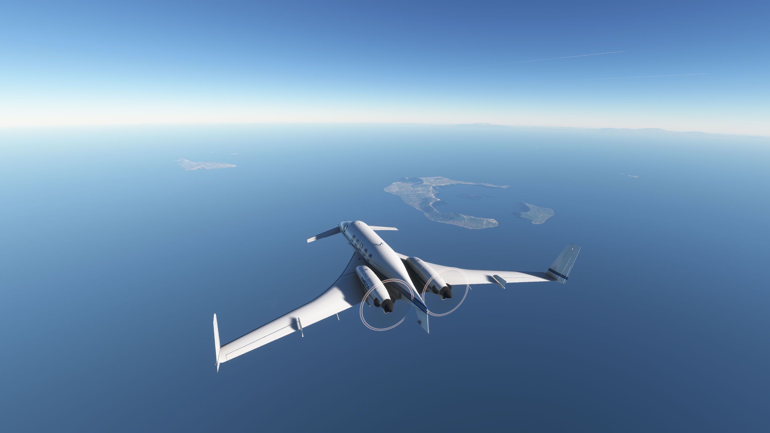
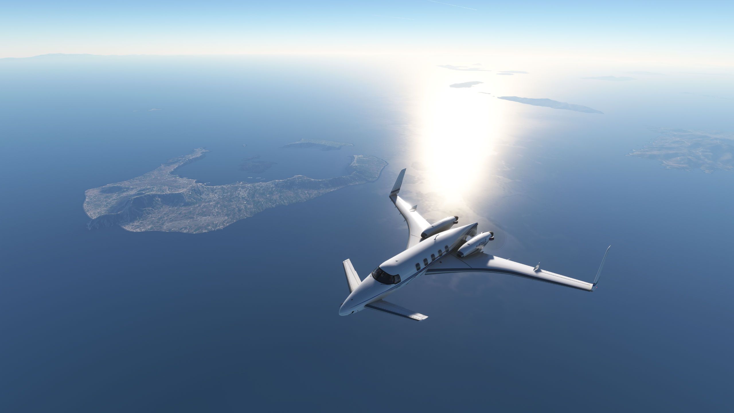
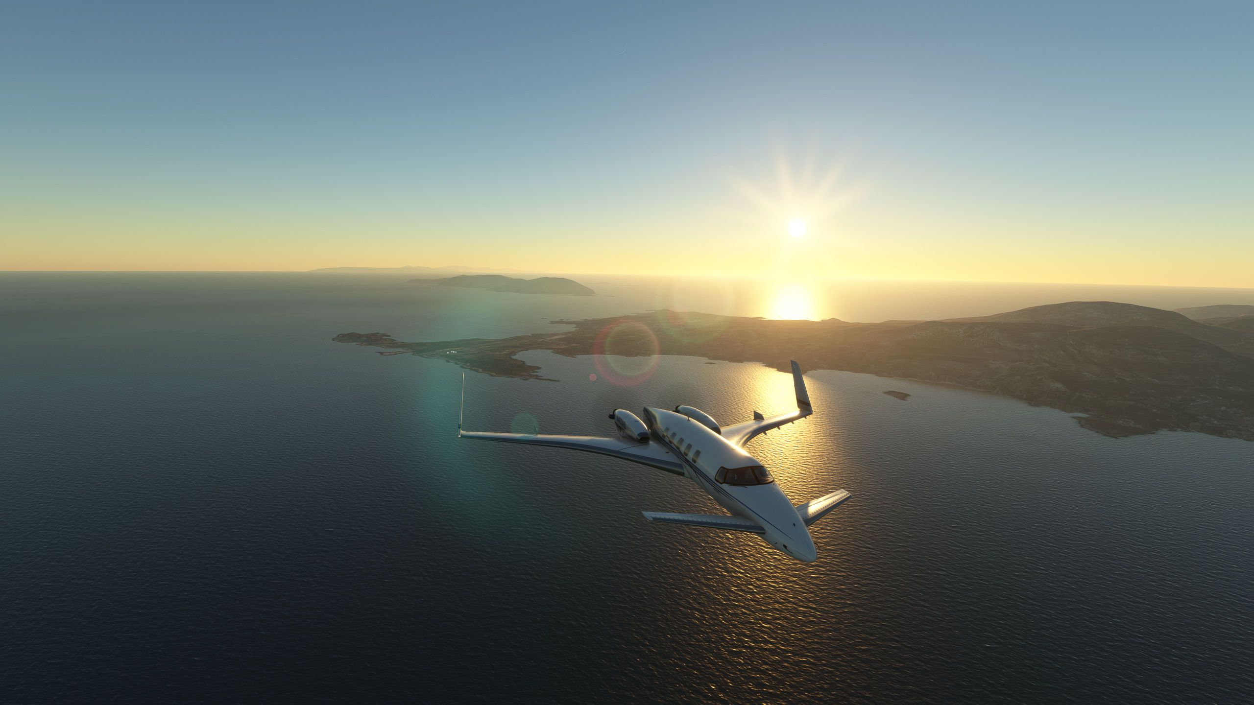
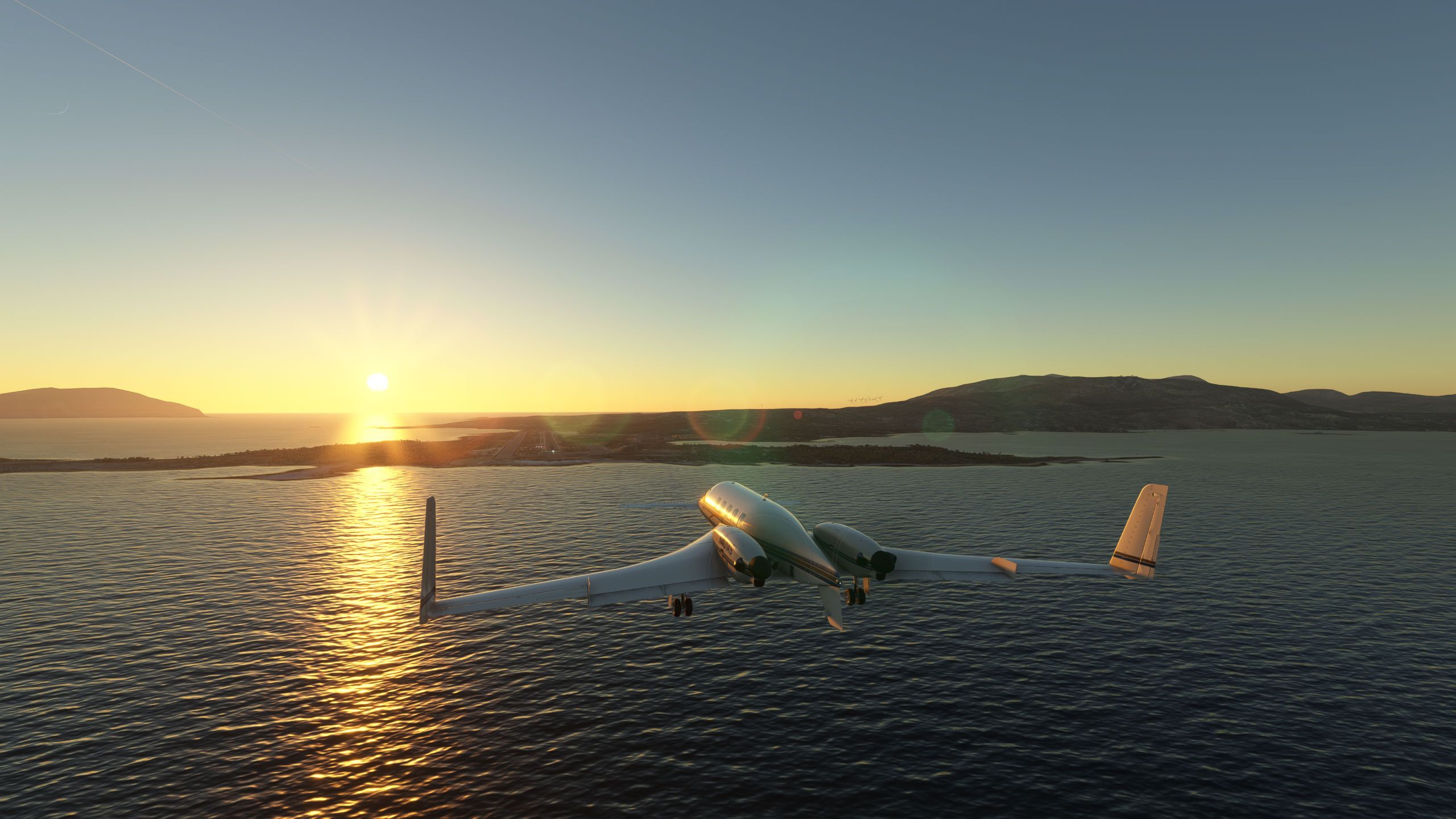
          Afternoon flight from Athens to Karpathos overflying Santorini and landing at sunset.

          Microsoft Flight Simulator 7_26_2025 12_30_45 PM.jpg
          Microsoft Flight Simulator 7_26_2025 12_51_15 PM.jpg
          Microsoft Flight Simulator 7_26_2025 12_54_22 PM.jpg
          Microsoft Flight Simulator 7_26_2025 1_30_08 PM.jpg
          Microsoft Flight Simulator 7_26_2025 1_39_09 PM.jpg

          1 Reply Last reply
          1
          • C Offline
            C Offline
            CassiKess
            wrote last edited by
            #92

            Microsoft Flight Simulator - 1.38.2.0 25_07_2025 18_50_13.jpg
            I don't understand why MSFS doesn't draw contrails on prop aircraft. They did so since WWII...

            1 Reply Last reply
            0
            • H Offline
              H Offline
              HansRoaming
              wrote last edited by HansRoaming
              #93

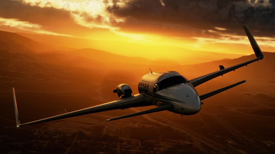
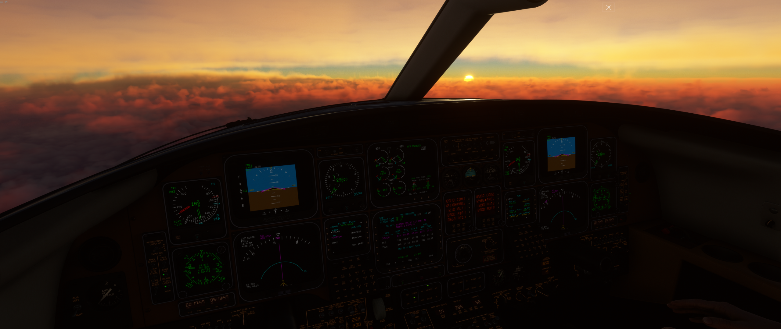
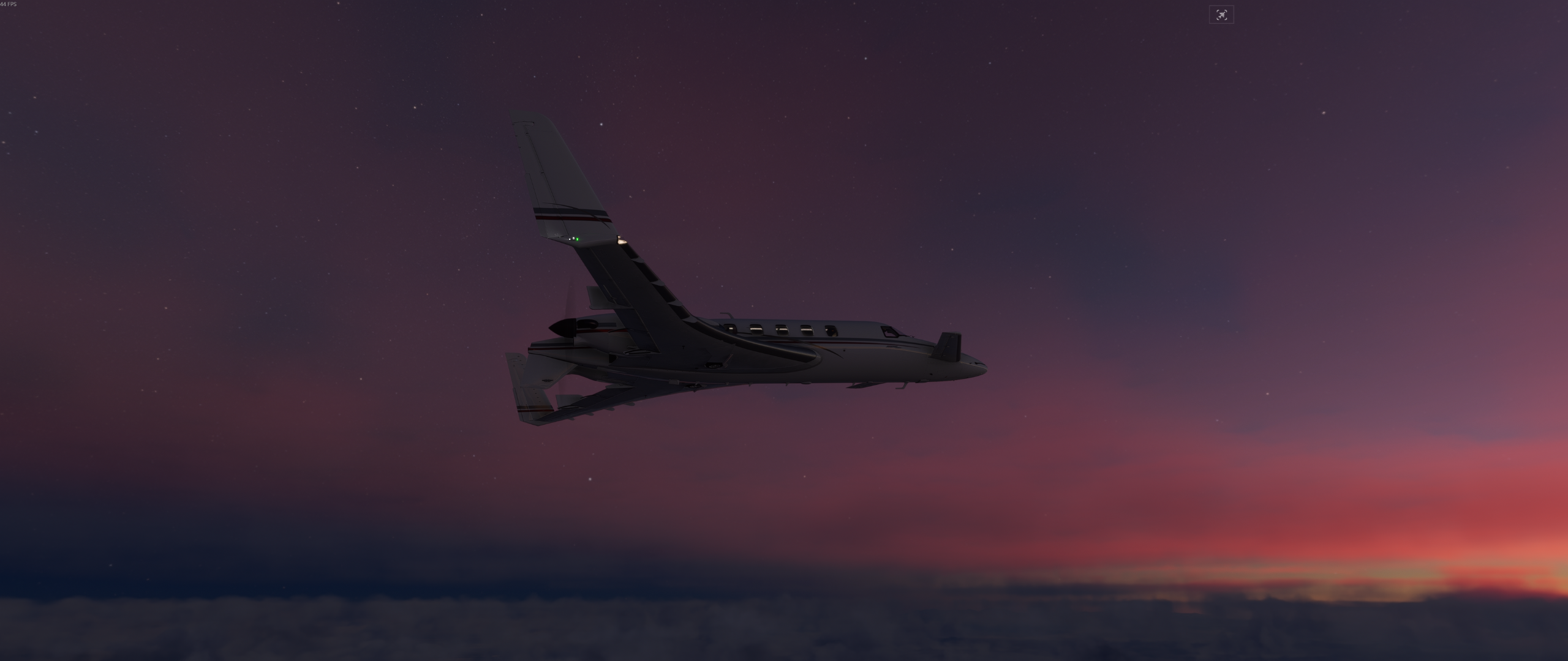
              VEPT -> ZULS, dawn.

              ZULS is where you have to raise the cabin altitude when landing, it's 11,800 ft!!!
              VEPTZULS02.pngVEPTZULS01.png

              DrZGardD 1 Reply Last reply
              2
              • H HansRoaming

                VEPT -> ZULS, dawn.

                ZULS is where you have to raise the cabin altitude when landing, it's 11,800 ft!!!
                VEPTZULS02.pngVEPTZULS01.png

                DrZGardD Offline
                DrZGardD Offline
                DrZGard
                wrote last edited by
                #94

                @HansRoaming thank you for the next flight idea. I already had ZULS!

                H 1 Reply Last reply
                1
                • DrZGardD DrZGard

                  @HansRoaming thank you for the next flight idea. I already had ZULS!

                  H Offline
                  H Offline
                  HansRoaming
                  wrote last edited by
                  #95

                  @DrZGard this route will take you right by Mount Everest, only six thousand feet below you on the left side when you're at FL350.

                  VEPT/25 DCT IPLAS DCT VNLK DCT 28N087E DCT RKZ DCT ZULS/28R

                  Another, previous screenshot, OIIE to OPIS.
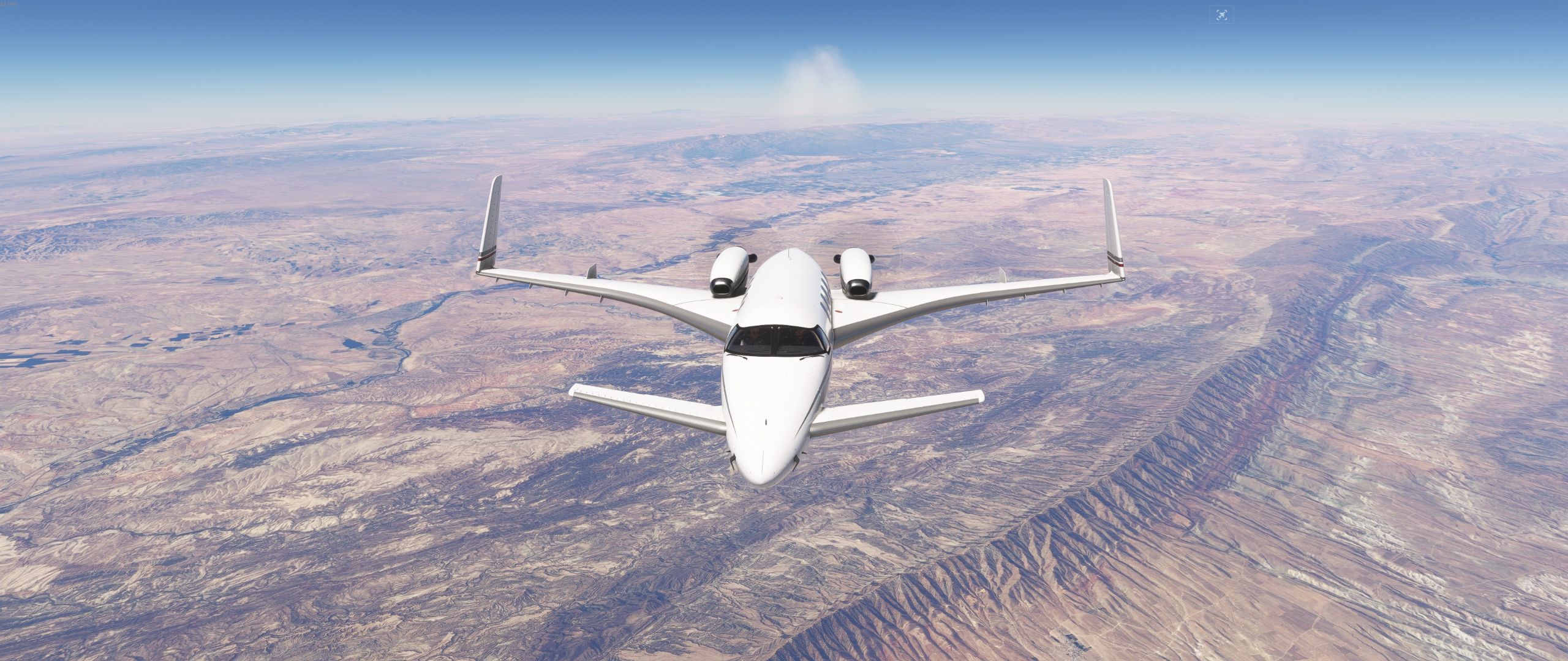
                  OIIEOPIS01.jpg

                  DrZGardD 1 Reply Last reply
                  1
                  • H HansRoaming

                    @DrZGard this route will take you right by Mount Everest, only six thousand feet below you on the left side when you're at FL350.

                    VEPT/25 DCT IPLAS DCT VNLK DCT 28N087E DCT RKZ DCT ZULS/28R

                    Another, previous screenshot, OIIE to OPIS.

                    OIIEOPIS01.jpg

                    DrZGardD Offline
                    DrZGardD Offline
                    DrZGard
                    wrote last edited by DrZGard
                    #96

                    @HansRoaming Made the flight tonight (early morning in MSFS land) using Say Intentions. Everything went swell till starting the descent into ZULS, altitude assignments were way too low and then the vectors would have also taken me into terrain. This is a tricky airport to land at (or depart from) because of the surrounding terrain and very high altitude... I can only imagine what density altitude could do here if the day got that hot. My over the fence TAS was 140 knots!

                    H 1 Reply Last reply
                    1
                    • DrZGardD DrZGard

                      @HansRoaming Made the flight tonight (early morning in MSFS land) using Say Intentions. Everything went swell till starting the descent into ZULS, altitude assignments were way too low and then the vectors would have also taken me into terrain. This is a tricky airport to land at (or depart from) because of the surrounding terrain and very high altitude... I can only imagine what density altitude could do here if the day got that hot. My over the fence TAS was 140 knots!

                      H Offline
                      H Offline
                      HansRoaming
                      wrote last edited by
                      #97

                      @DrZGard BayondATC did the same for me, so that's interesting.

                      I believe pilots have special training due to the changes in manoeuvring at that altitude, flights are also scheduled for the morning and night due to the high winds in the afternoon.

                      ZULS - ZPPP, dawn departure.
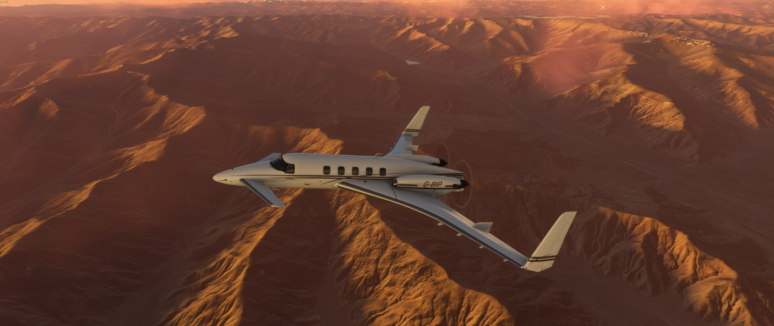
                      ZULSZPPP02.png ZULSZPPP03.png

                      1 Reply Last reply
                      1
                      • M Offline
                        M Offline
                        MarkS
                        wrote last edited by
                        #98

                        Early AM departure, world tour leg 34, RPMD-WBSB

                        image.png

                        1 Reply Last reply
                        3
                        • MarionetteworkM Offline
                          MarionetteworkM Offline
                          Marionettework
                          wrote last edited by
                          #99

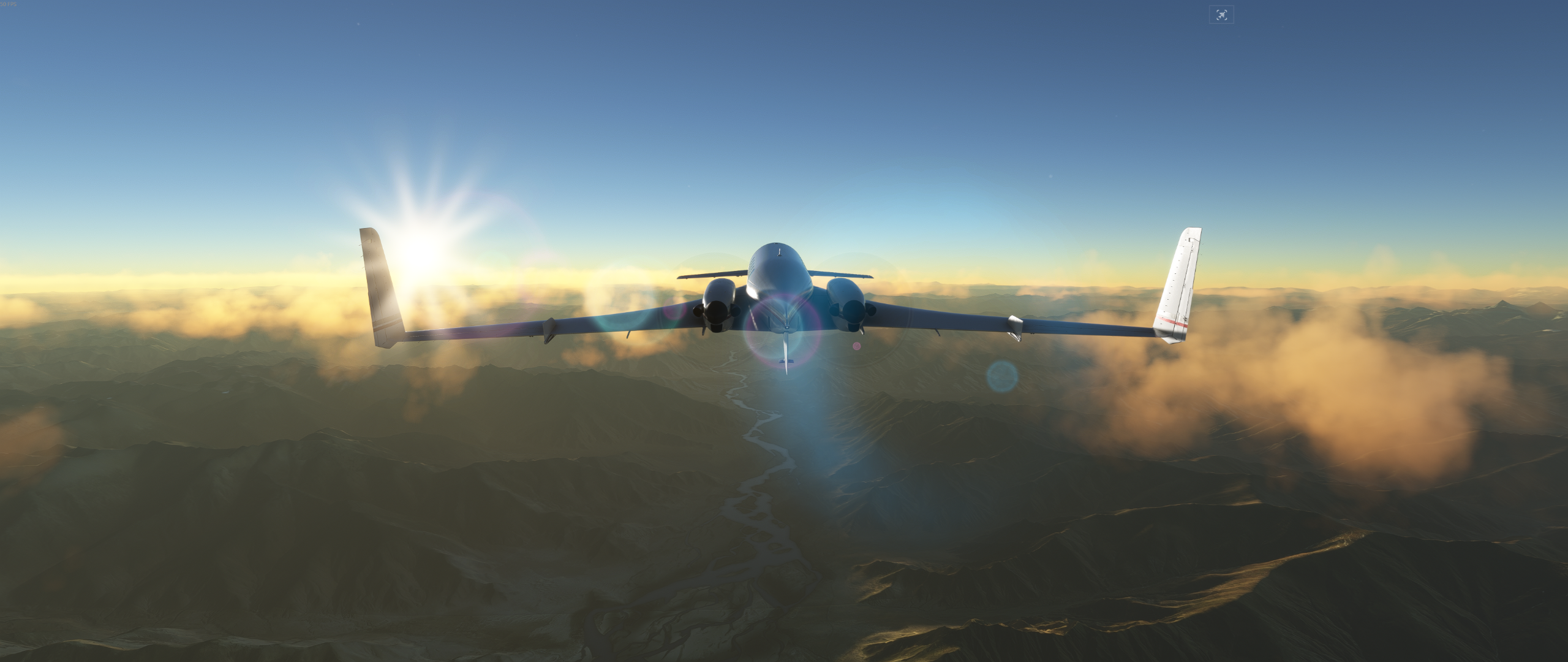
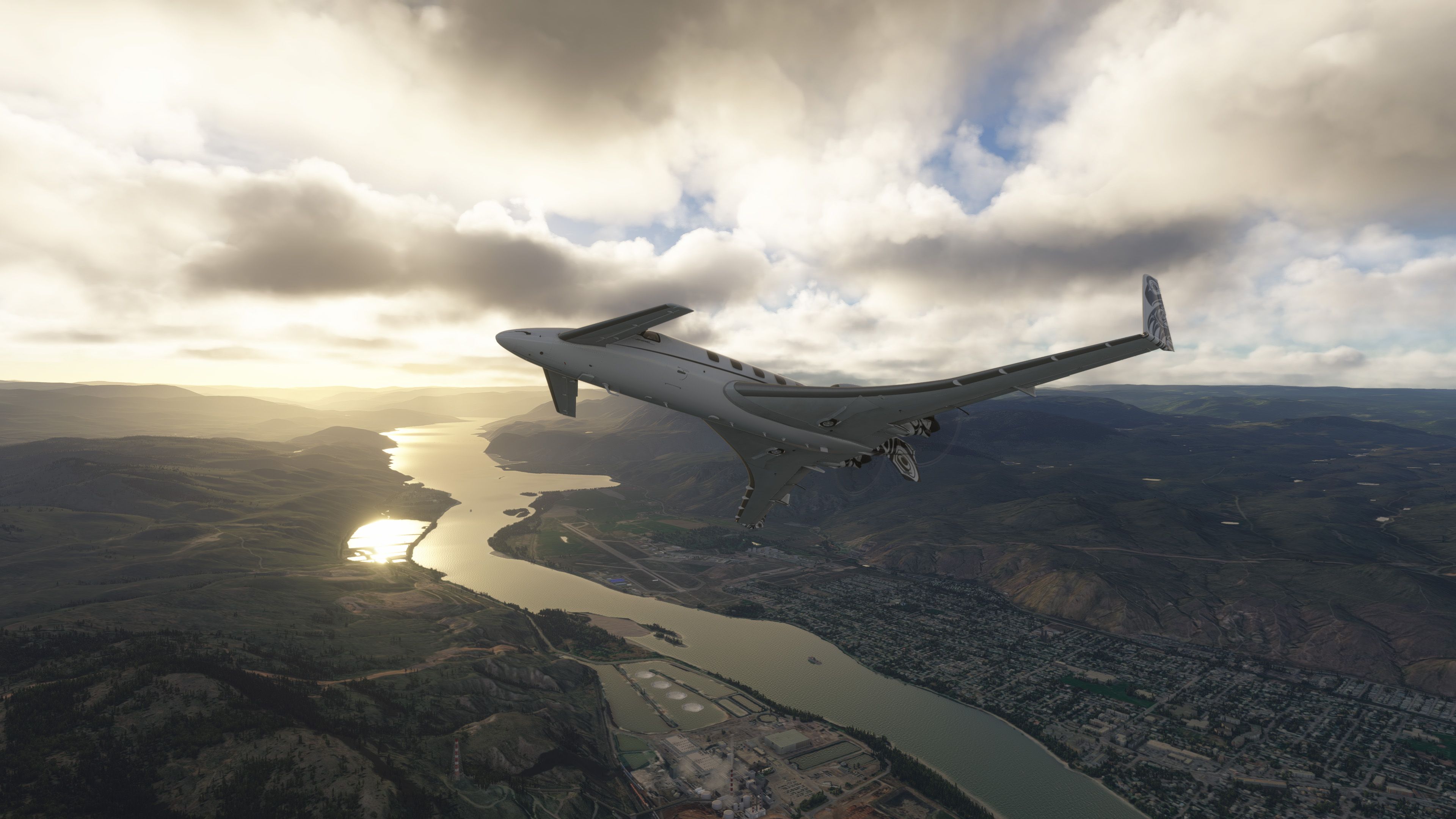
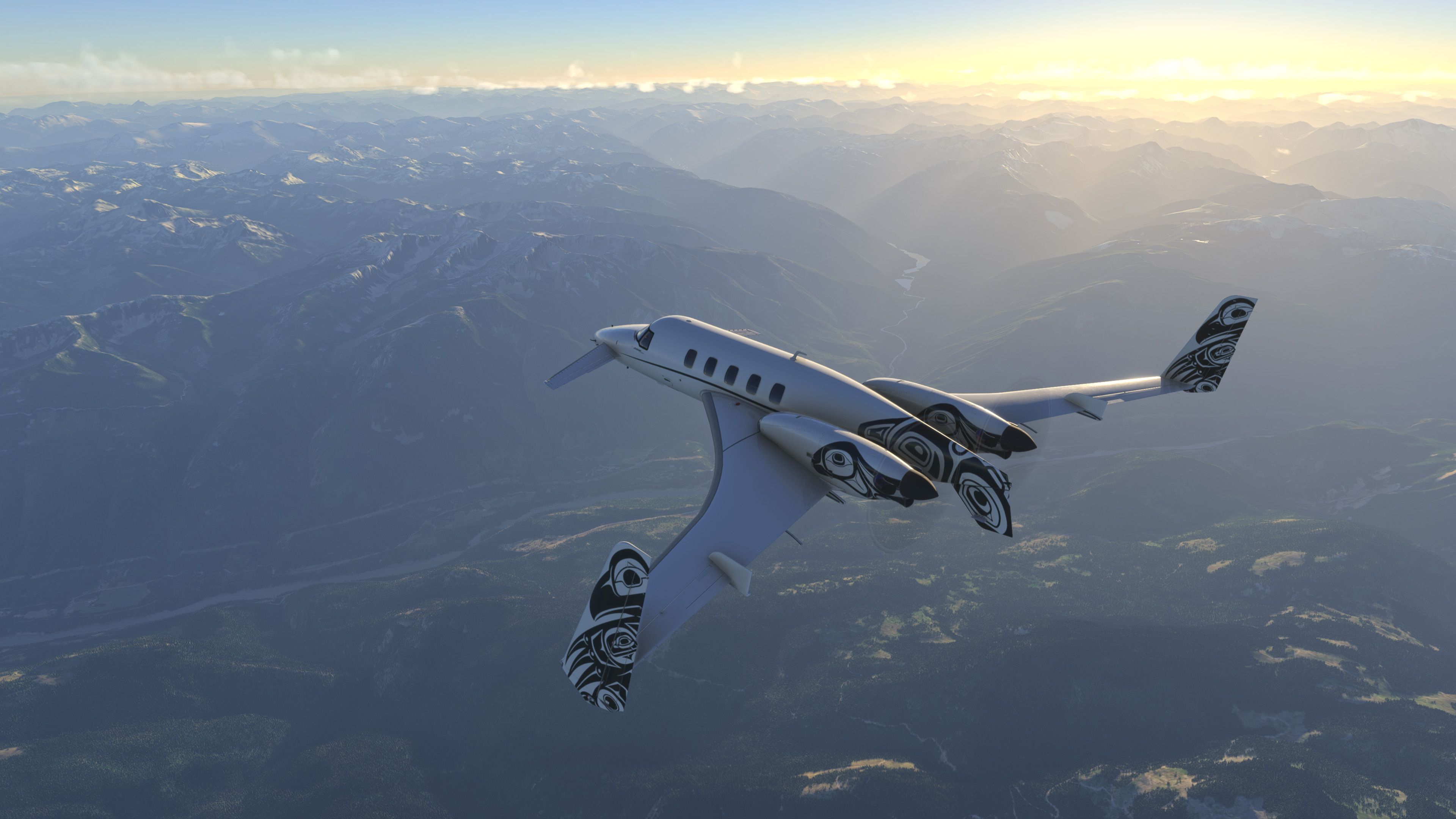
                          Kelowna - Kamloops - Squamish today:
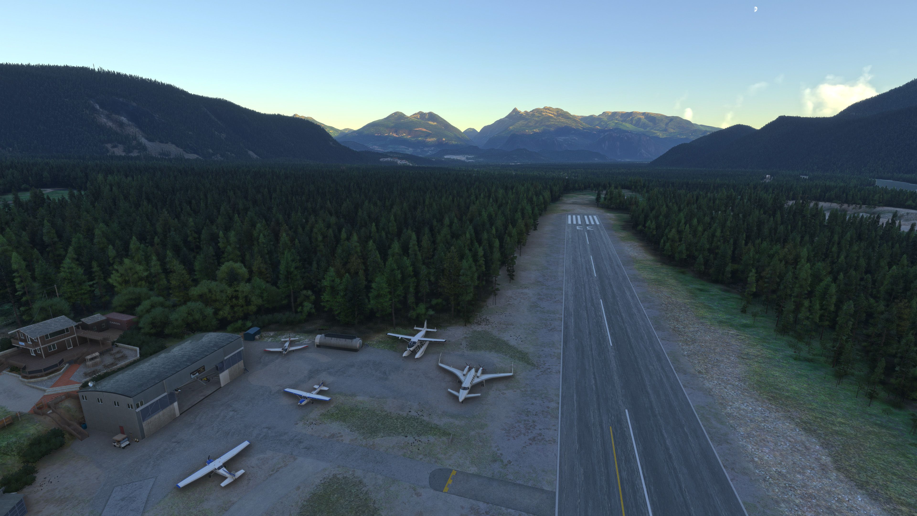
                          Microsoft Flight Simulator 2024 Screenshot 2025.08.02 - 22.37.58.61.jpg

                          Microsoft Flight Simulator 2024 Screenshot 2025.08.02 - 22.50.40.05.jpg

                          Microsoft Flight Simulator 2024 Screenshot 2025.08.02 - 23.19.47.00.jpg

                          DrZGardD 1 Reply Last reply
                          2
                          • MarionetteworkM Marionettework

                            Kelowna - Kamloops - Squamish today:

                            Microsoft Flight Simulator 2024 Screenshot 2025.08.02 - 22.37.58.61.jpg

                            Microsoft Flight Simulator 2024 Screenshot 2025.08.02 - 22.50.40.05.jpg

                            Microsoft Flight Simulator 2024 Screenshot 2025.08.02 - 23.19.47.00.jpg

                            DrZGardD Offline
                            DrZGardD Offline
                            DrZGard
                            wrote last edited by
                            #100

                            @Marionettework I wish the FSimStudios Kelowna (or even a freeware Kelowna) had the night beacons used for landing positional awareness arranged around the airport pattern area. They are a very unique night feature of this particular airport.

                            1 Reply Last reply
                            0
                            • DrZGardD Offline
                              DrZGardD Offline
                              DrZGard
                              wrote last edited by DrZGard
                              #101

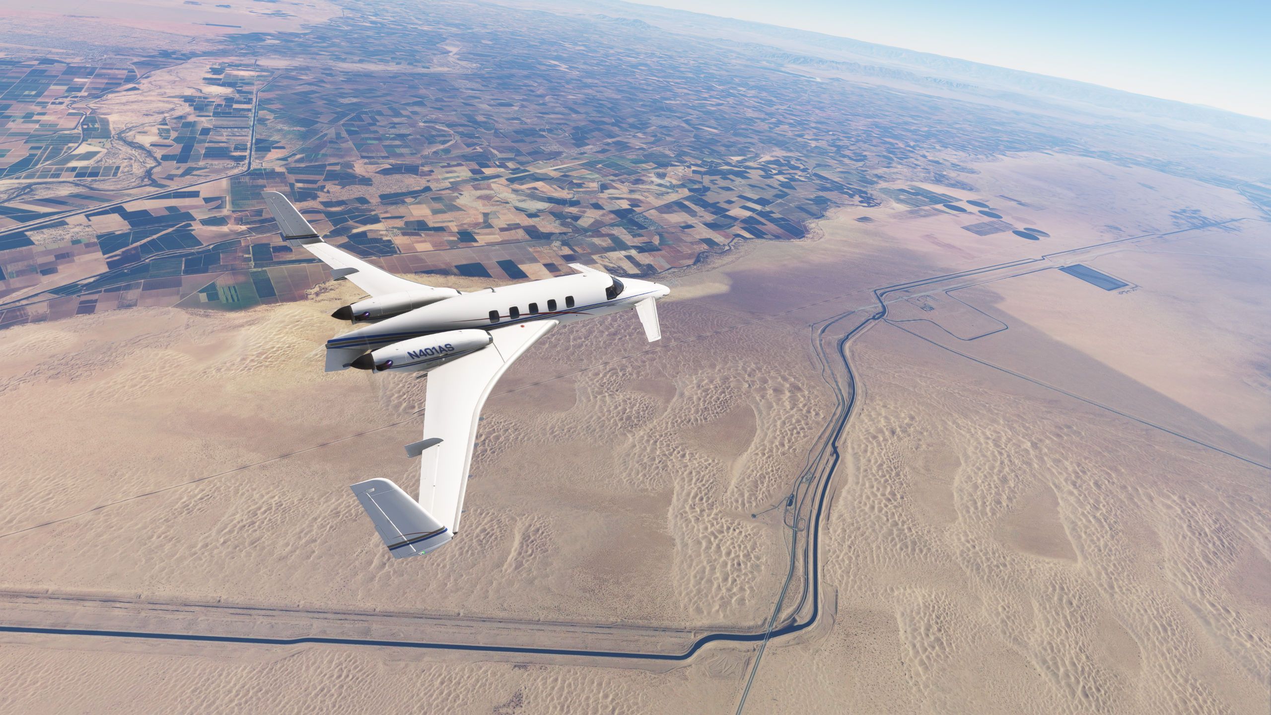
                              Phoenix Sky Harbor to San Diego Lindbergh
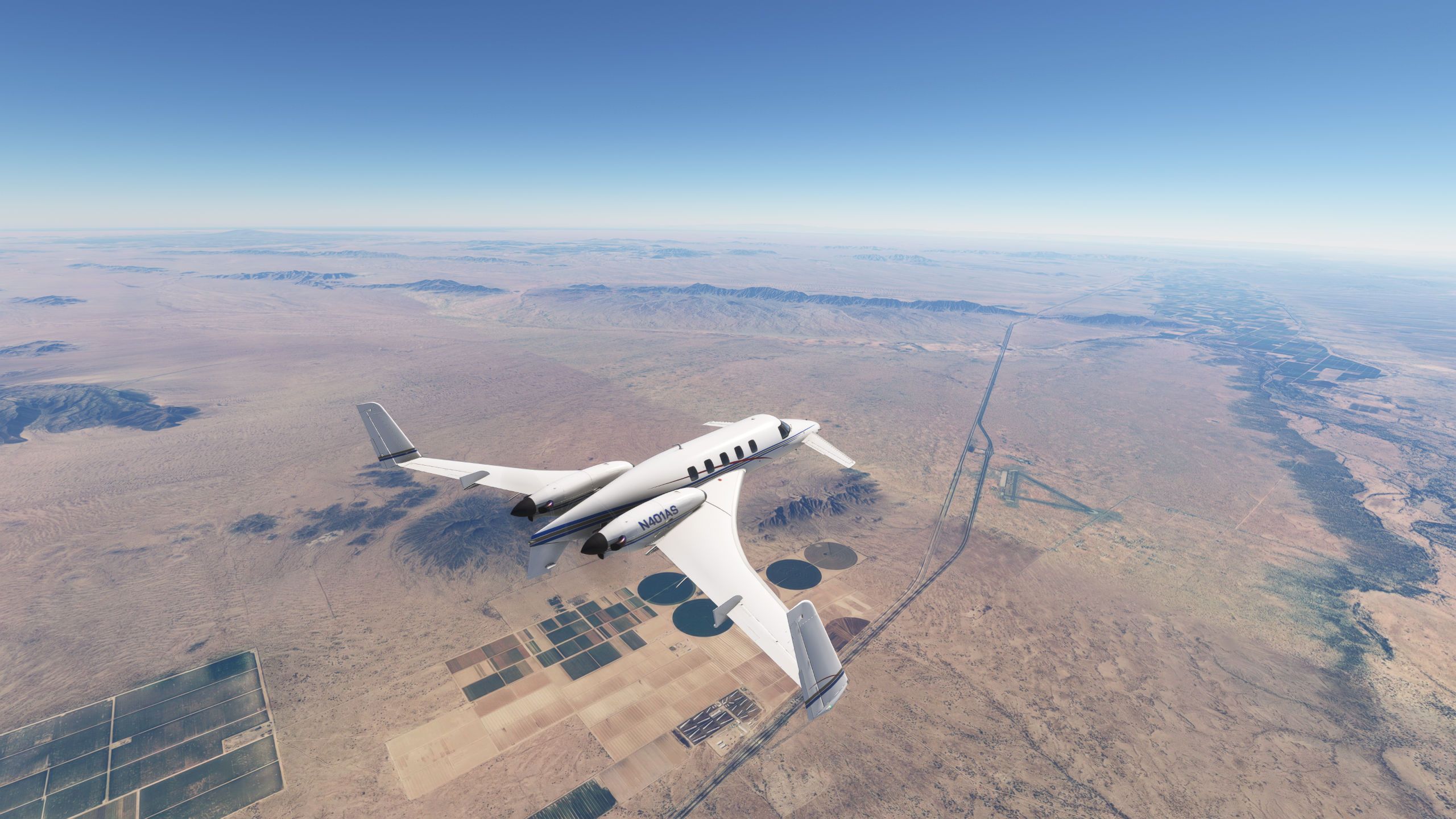
                              Microsoft Flight Simulator 8_3_2025 4_18_26 PM.jpg
                              Over Interstate 8, Dateland airport which despite being closed as an AAF in 1957 still has good runway and concrete parking, a series of developers have tried to turn it into a live at destination as recently as 2015
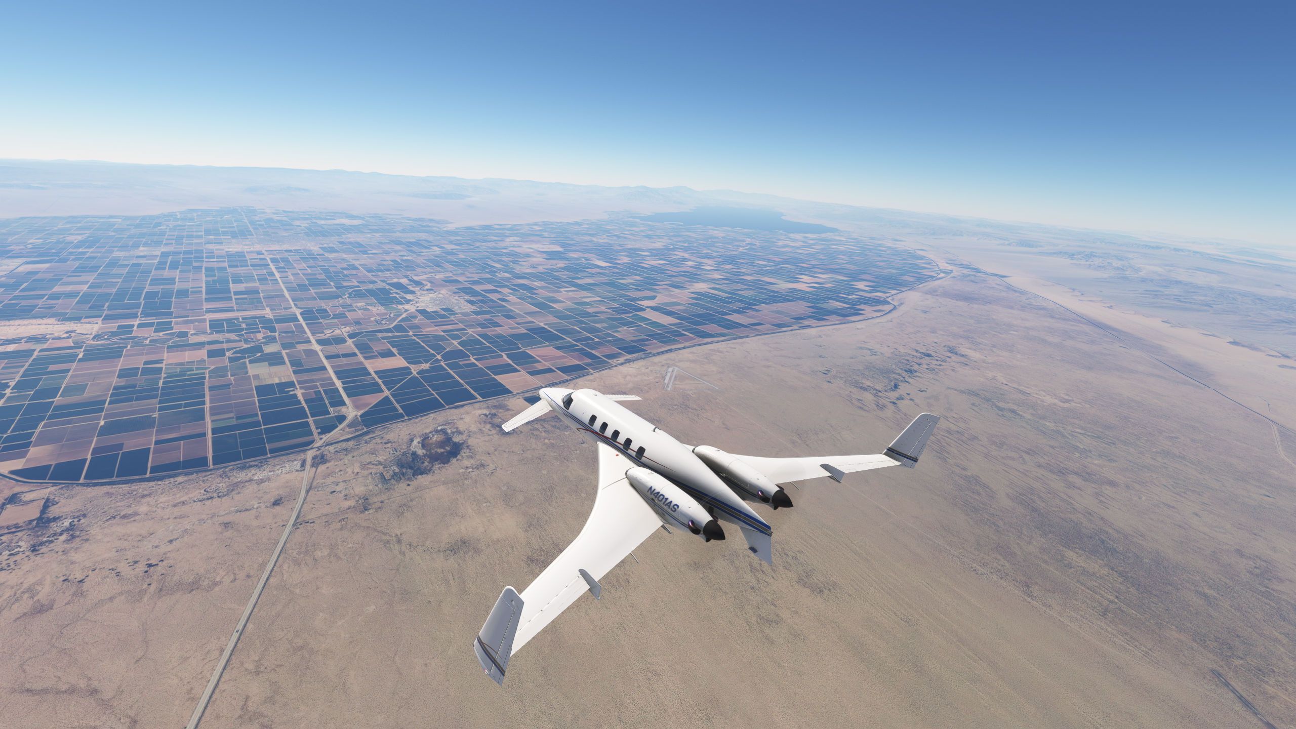
                              Microsoft Flight Simulator 8_3_2025 4_36_04 PM.jpg
                              Approaching El Centro with the Holtville airport off the canard to the right, one runway is still active, the other gets used by SCCA and other auto racing events. I have a 1/2 hour of logged flying time in a RAF C130 thanks to an event I attended there!
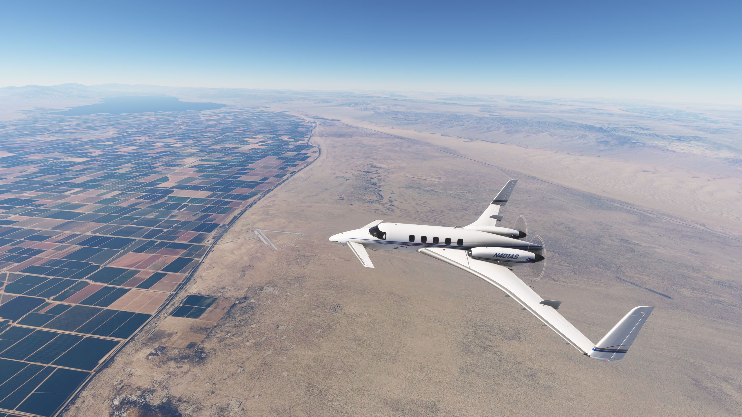
                              Microsoft Flight Simulator 8_3_2025 4_36_42 PM.jpg
                              Another shot of Holtville off the nose

                              Microsoft Flight Simulator 8_3_2025 4_32_50 PM.jpg
                              The sand bar just West of Yuma AZ (on the CA side) is where my father and I would take our drag buggy in the early 1980's. The part South of I-8 is called Buttercup and the part much further North gets called Glamis, I've duned in both. Trivia fact, the Buttercup valley is where the Return of the Jedi desert scenes were shot. I would drive around the fenced and guarded set and Lucas actually tried to privately reserve the State Park over the Labor Day weekend to which he was told NO!
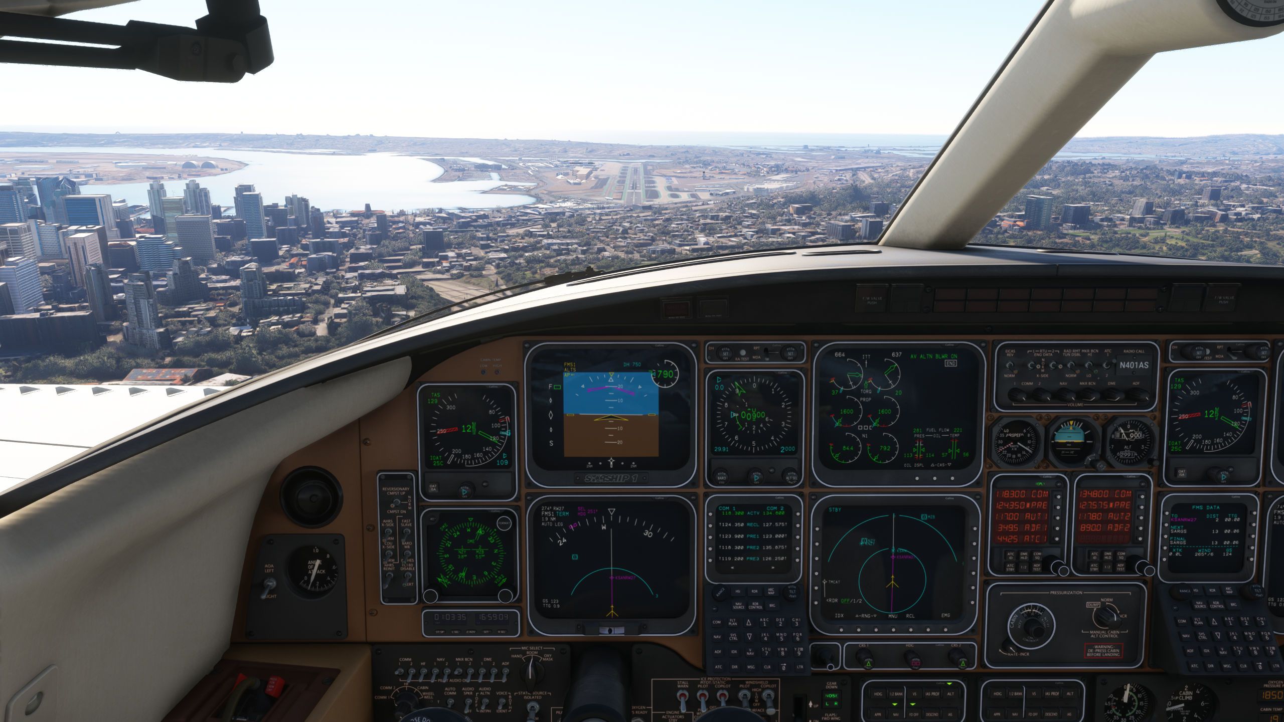
                              Microsoft Flight Simulator 8_3_2025 5_00_07 PM.jpg
                              RNAV Y 27 Lindbergh, hand flown since I don't use the Working Titles GNS430 (it will negate the ability to use the GA on the flight director which I deem more important).

                              1 Reply Last reply
                              2
                              • DrZGardD Offline
                                DrZGardD Offline
                                DrZGard
                                wrote last edited by DrZGard
                                #102

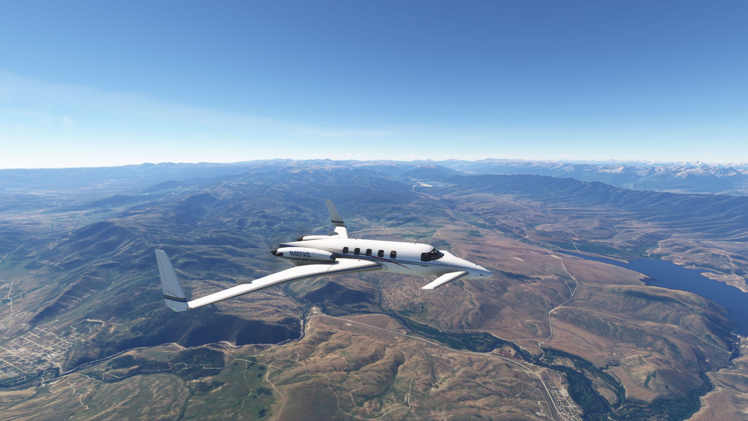
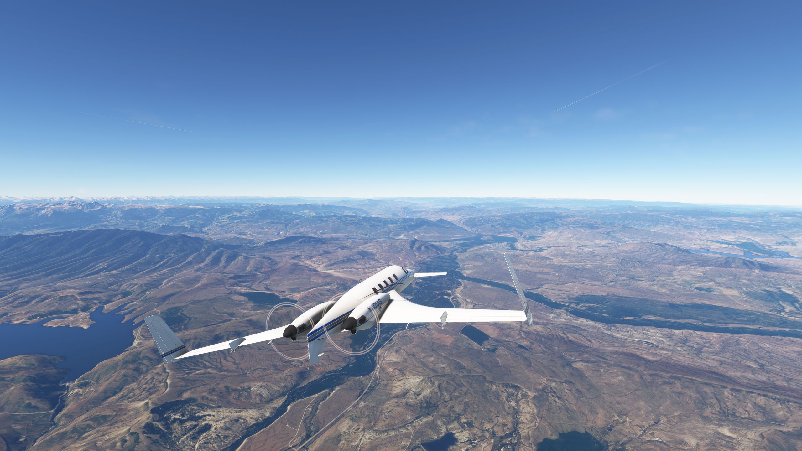
                                Passing Lake Granby then the Williams Fork Reservoir on the VAAIL1 arrival into Eagle County, Colorado.
                                Microsoft Flight Simulator 8_7_2025 7_22_50 AM.jpg
                                Microsoft Flight Simulator 8_7_2025 7_23_16 AM.jpg
                                Microsoft Flight Simulator 8_7_2025 7_29_49 AM.jpg
                                Microsoft Flight Simulator 8_7_2025 7_29_59 AM.jpg

                                1 Reply Last reply
                                2
                                • MarkBagginsM Offline
                                  MarkBagginsM Offline
                                  MarkBaggins
                                  wrote last edited by
                                  #103

                                  Microsoft Flight Simulator 2024 Screenshot 2025.08.03 - 00.51.44.47.jpg

                                  1 Reply Last reply
                                  3
                                  • M Offline
                                    M Offline
                                    MarkS
                                    wrote last edited by
                                    #104

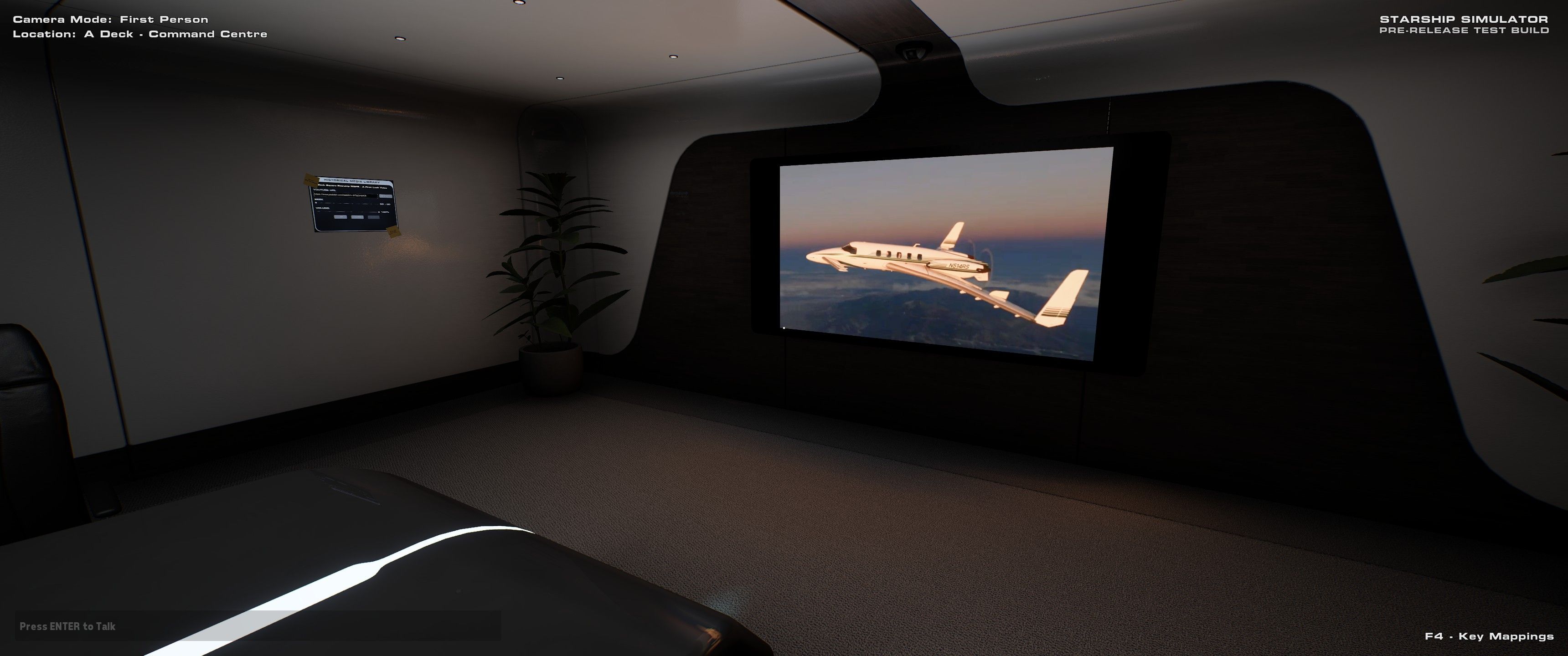
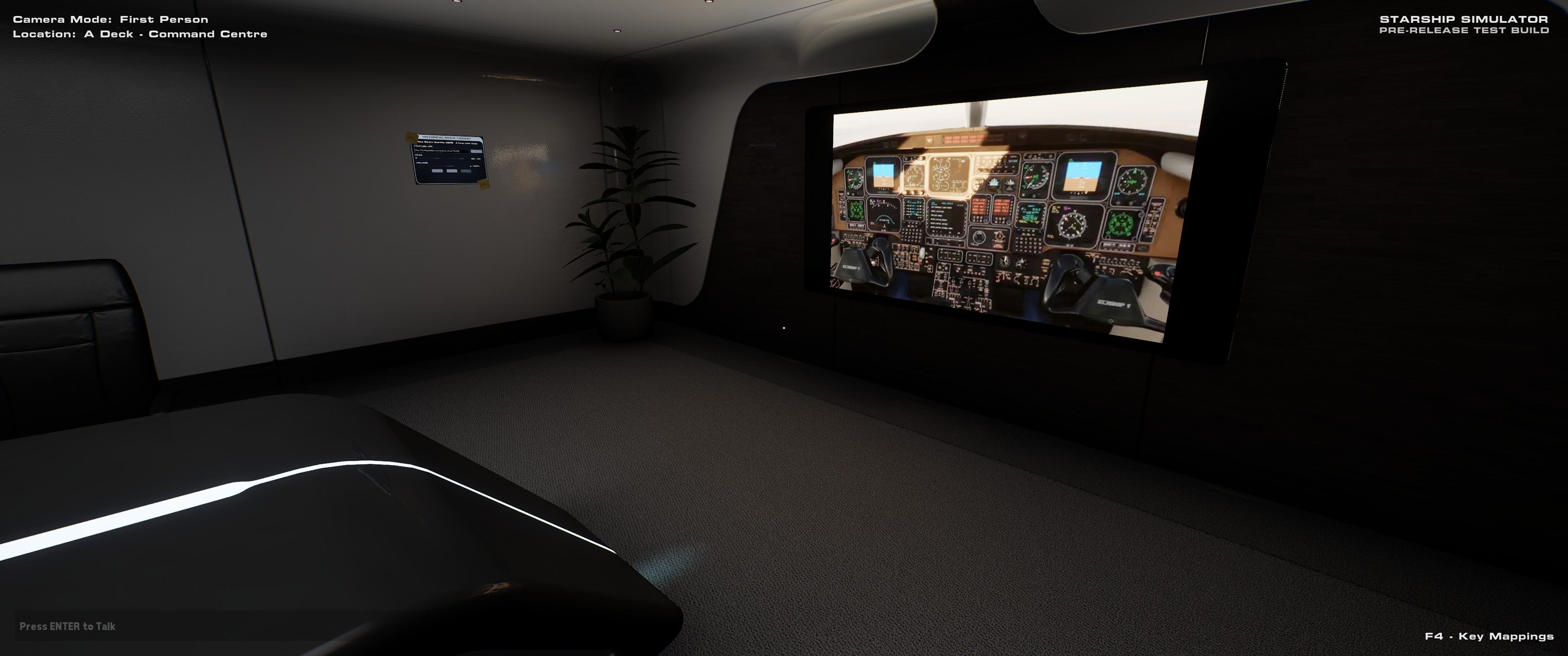
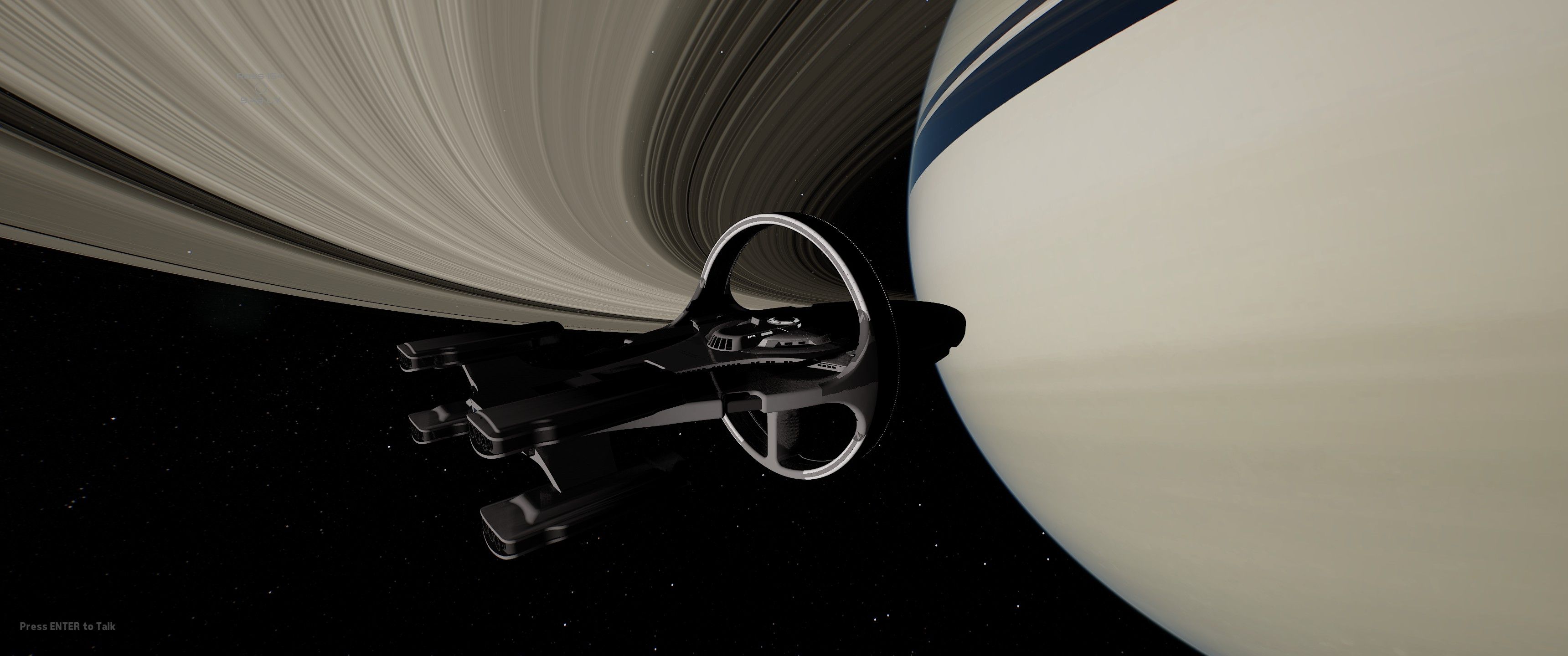
                                    There's a space exploration game in early access on Steam called Starship Simulator. On the command deck there is a conference room with a video screen where you can watch YouTube videos, so of course I settled in and put on our Starship's first look video from last year.
                                    204DAC~1.JPG
                                    20953B~1.JPG
                                    20A8EE~1.JPG

                                    1 Reply Last reply
                                    3
                                    • K Online
                                      K Online
                                      Kaaplink
                                      wrote last edited by Kaaplink
                                      #105

                                      20250815192227_1.jpg

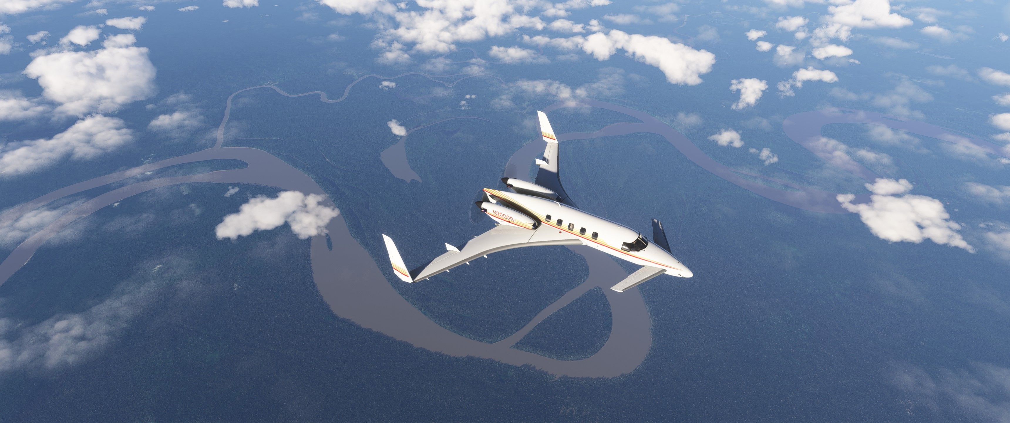
                                      It is nice to finally see tail numbers in the SU3 beta again (I don't know how reliable it is yet, but it worked on the first try for me on the latest beta today).

                                      Passing over the Putumayo River (one of the tributaries of the Amazon) at the intersection of Colombia, Peru and Brazil.
                                      20250815193244_1.jpg

                                      1 Reply Last reply
                                      2
                                      • 2 Offline
                                        2 Offline
                                        2000A
                                        wrote last edited by
                                        #106

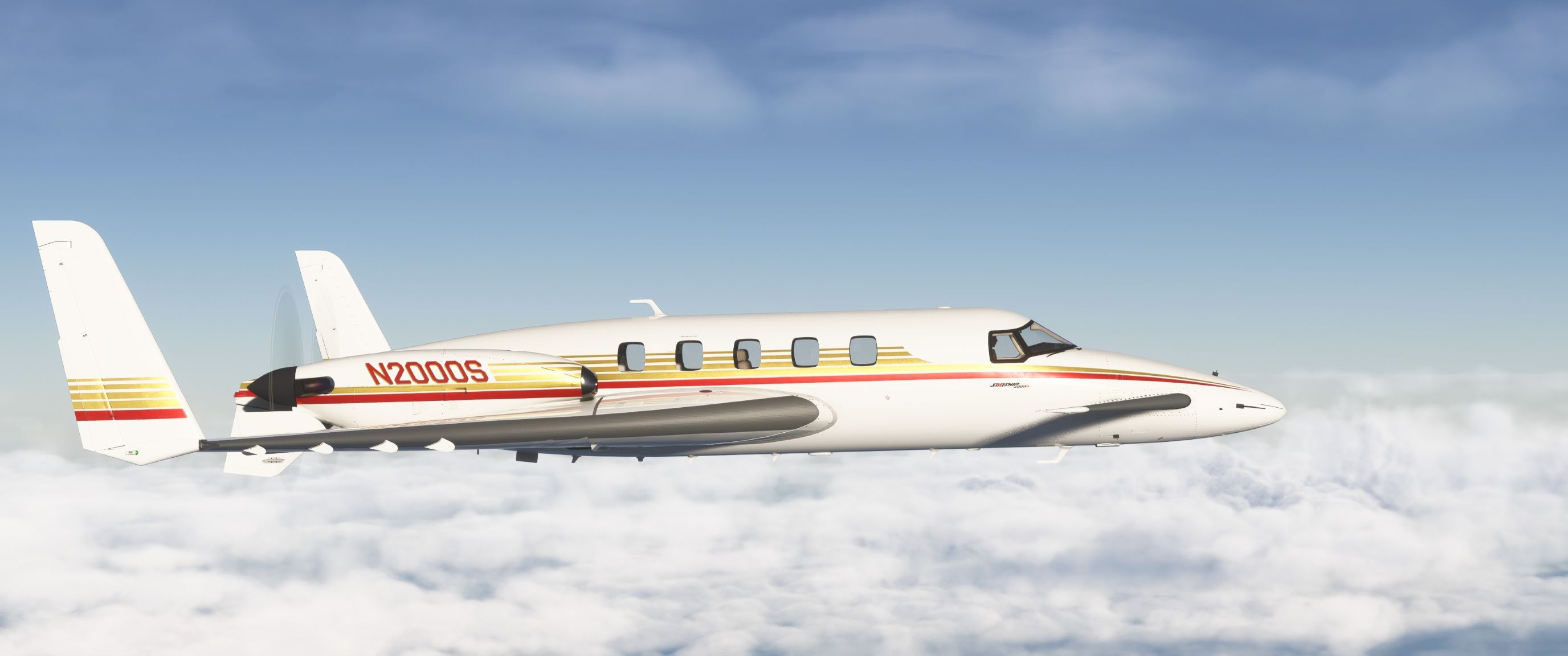
                                        Screenshot 2025-08-24 01-39-23.jpg
                                        "They simply don't make em like this anymore"

                                        1 Reply Last reply
                                        4
                                        • H Offline
                                          H Offline
                                          HansRoaming
                                          wrote last edited by
                                          #107

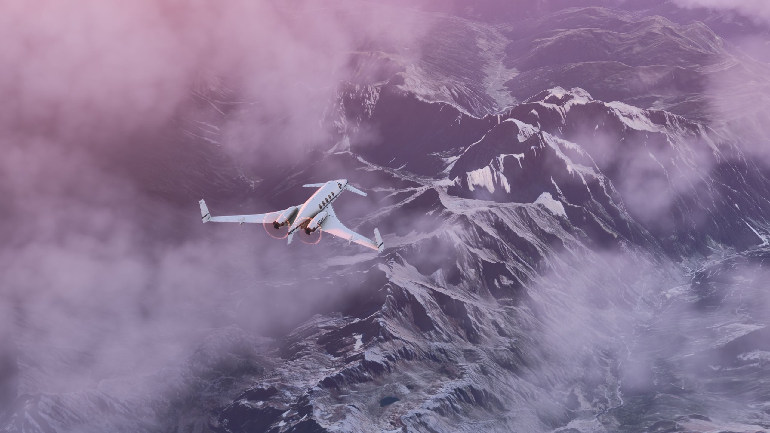
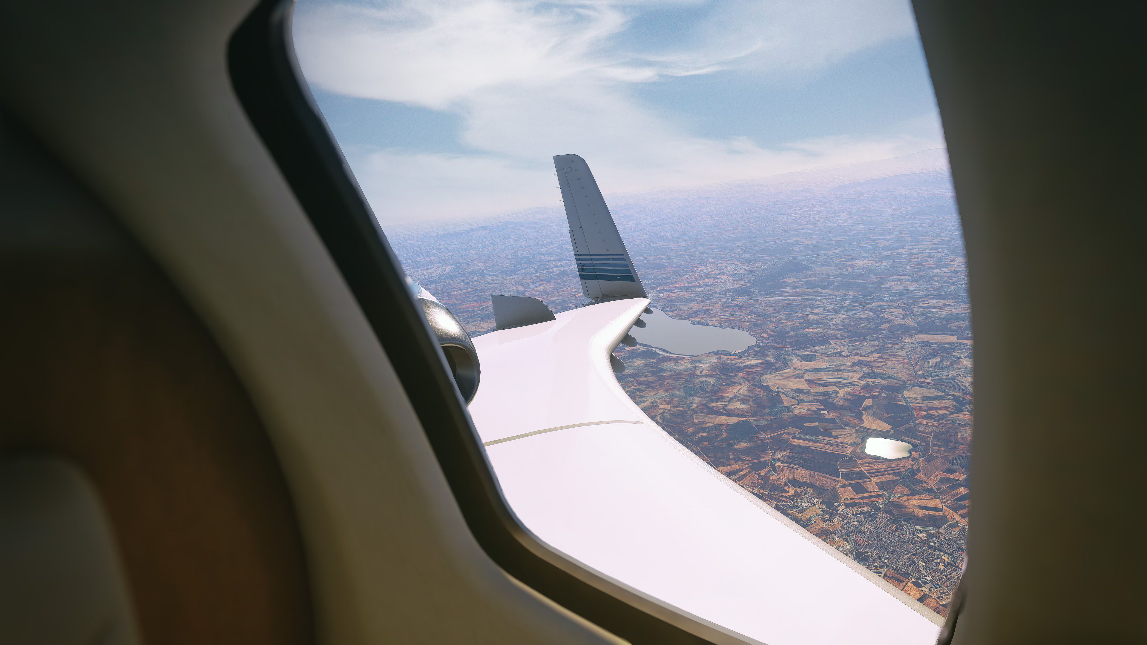
                                          Flying out of Beijing, early dawn.
                                          ZBAAZSPD01.png

                                          1 Reply Last reply
                                          1
                                          Reply
                                          • Reply as topic
                                          Log in to reply
                                          • Oldest to Newest
                                          • Newest to Oldest
                                          • Most Votes


                                          • Login

                                          • Don't have an account? Register

                                          • Login or register to search.
                                          • First post
                                            Last post
                                          0
                                          • Categories
                                          • Recent
                                          • Tags
                                          • Popular
                                          • Users